Restaurant nearby A Morfar
Argentina
Restaurant nearby A Morfar
A Morfar
4400, Conesa, C1429, Comuna 12, Buenos Aires, AR Argentina
contacts phone
:
+54 11 4701-2016
website:
www.facebook.com
Latitude:
-34.5455733
, Longitude:
-58.4773401
larger map & directions
read more
nearest Restaurant
483 m
La Guapa Cantina
Avenida García del Río 2969
Restaurant
read more
506 m
Totos Hamburguesas Gigantes
Avenida Cabildo 4612, ABR
Restaurant
Food
Point of interest
Establishment
read more
531 m
Marcelona
Avenida Cabildo 4513
Restaurant
read more
706 m
El Galpon de Pocha
Deheza 2000
Restaurant
read more
776 m
La Pedrera
Avenida Crisólogo Larralde 2999
Restaurant
read more
784 m
Parrilla La Lomita
Pico 2220
Restaurant
read more
797 m
Adaggio Gelatto Y Caffe
R P�rez 3897, Capital Federal, Capital Federal
Restaurant
read more
798 m
Cocineros En Tu Casa Pizzas & Asados
Avenida Crisólogo Larralde 2730
Restaurant
read more
811 m
Parrilla Del Parque
Avenida García del Río 3600
Restaurant
read more
873 m
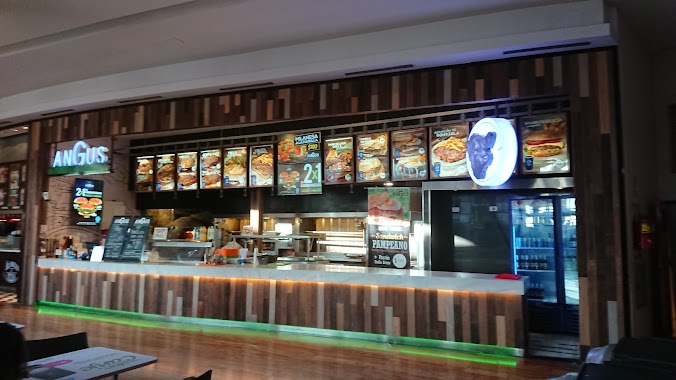
Angus - Dot Baires
Acceso Dot
Restaurant
read more
898 m
Pizzeria La De Charly
Conde 3605
Restaurant
read more
924 m
Mandarina´s Café
Arcos 4001
Restaurant
read more
930 m
Tempero
C1429CRH, Jaramillo 2274
Restaurant
read more
930 m
Charito
Núñez 2901, 2999
Restaurant
read more
979 m
MANJARES SALTEÑOS
Avenida Crisólogo Larralde 2303
Restaurant
read more
997 m
SENSU
Vedia 3600
Restaurant
read more
1.007 km
La Covacha
Avenida Cabildo 3607
Restaurant
read more
1.126 km
Ocean
Juana Azurduy 2416
Restaurant
read more
1.223 km
La Aldea
Tronador 3915
Restaurant
read more
1.223 km
Buscatudelivery
Avenida Coronel Niceto Vega 5720
Restaurant
read more
1.249 km
La Madonnina
11 de Septiembre 4540
Restaurant
read more
1.26 km
Primavera Trujillana Express
11 de Septiembre 4636
Restaurant
read more
1.291 km
Rotisería Nona Paula
Plaza 3973
Restaurant
read more
1.301 km
Giuliano
C1429AEG, Amenábar 3201
Restaurant
read more
1.336 km
Vivace
Restaurant
read more
📑
all categories
Accounting
Administrative area level 1
Administrative area level 2
Airport
Amusement park
Aquarium
Art gallery
Atm
Bakery
Bank
Bar
Beauty salon
Bicycle store
Book store
Bowling alley
Bus station
Cafe
Campground
Car dealer
Car rental
Car repair
Car wash
Casino
Cemetery
Church
City hall
Clothing store
Colloquial area
Convenience store
Country
Courthouse
Dentist
Department store
Doctor
Electrician
Electronics store
Embassy
Establishment
Finance
Fire station
Florist
Food
Funeral home
Furniture store
Gas station
General contractor
Grocery or supermarket
Gym
Hair care
Hardware store
Health
Hindu Temple
Home goods store
Hospital
Insurance agency
Intersection
Jewelry store
Laundry
Lawyer
Library
Light rail station
Liquor store
Local government office
Locality
Locksmith
Lodging
Meal delivery
Meal takeaway
Mosque
Movie rental
Movie theater
Moving company
Museum
Natural feature
Neighborhood
Night club
Painter
Park
Parking
Pet store
Pharmacy
Physiotherapist
Place of worship
Plumber
Point of interest
Police
Political
Post office
Premise
Real estate agency
Restaurant
Roofing contractor
Route
Rv park, camping
School
Shoe store
Shopping mall
Spa
Stadium
Storage
Store
Subpremise
Subway station
Supermarket
Synagogue
Taxi stand
Train station
Transit station
Travel agency
University
Veterinary care
Zoo
sublocality level 1
sublocality level 3
↑