Restaurant nearby Antonino
Coronavirus disease (COVID-19) Situation
confirmed cases
10128845
deaths
130841
Argentina
Restaurant nearby Antonino
Antonino
3599, Santo Tomé, C1417, Comuna 11, Buenos Aires, AR Argentina
contacts phone
:
+54 11 4504-2912
Latitude:
-34.6092382
, Longitude:
-58.4949312
larger map & directions
read more
nearest Restaurant
416 m
La Cutata
Nogoyá 3708
Restaurant
read more
475 m
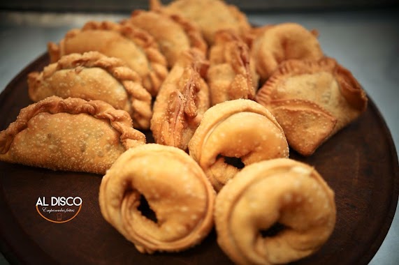
Al Disco
Avenida Álvarez Jonte 3508
Restaurant
read more
485 m
Pizzeria Leo Villanos
Cuenca 2549
Restaurant
read more
527 m
LA 1/2 COSTILLA
Arregui 4000
Restaurant
read more
560 m
Los Abuelo
Nogoyá 3902
Restaurant
read more
592 m
Fábrica de Pizzas
C1417FNJ, Nogoyá 3216
Restaurant
read more
604 m
Restaurant Adhele
C1417AAK, Cuenca 2775
Restaurant
read more
725 m
SAN VITO IL CAPO
Nazarre
Restaurant
read more
742 m
Fasbear Pizza
Juan Agustín García 3501-3599, C1407FWE
Restaurant
read more
778 m
La Revancha
C1407DGI, Emilio Lamarca 1799
Restaurant
read more
782 m
Lo de Carlitos
Nogoyá 3062
Restaurant
read more
877 m
Rotiseria Wok's Comida China-Sabor Oriental
Avenida Nazca 2818
Restaurant
read more
900 m
Pastas La Praderita
Avenida Nazca 2603
Restaurant
read more
918 m
Deniro
FWM, Juan Agustín García 3989, Buenos Aires
Restaurant
read more
933 m
IL GRECO
Avenida Álvarez Jonte 4285
Restaurant
read more
970 m
El Antojo
Tinogasta 3174
Restaurant
read more
981 m
Los Tres Toricos
Tinogasta 3166
Restaurant
read more
987 m
McDonald's
Cuenca 3234
Restaurant
read more
999 m
La Juvenil Pastas
Cuenca 3230
Restaurant
read more
1.004 km
Gaston
Sanabria 2550
Restaurant
read more
1.007 km
Alice Kitchen
Sanabria 2202-2216
Restaurant
read more
1.023 km
Gopal
Sanabria 2625
Restaurant
read more
1.039 km
A mi Manera
Camarones 3649
Restaurant
read more
1.141 km
Norki's
Restaurant
read more
1.352 km
Fabrica de Pasta la Gringa Pastas-pizzas-empanadas
Calle 24 676, Navarro, Buenos Aires
Restaurant
read more
📑
all categories
Accounting
Administrative area level 1
Administrative area level 2
Airport
Amusement park
Aquarium
Art gallery
Atm
Bakery
Bank
Bar
Beauty salon
Bicycle store
Book store
Bowling alley
Bus station
Cafe
Campground
Car dealer
Car rental
Car repair
Car wash
Casino
Cemetery
Church
City hall
Clothing store
Colloquial area
Convenience store
Country
Courthouse
Dentist
Department store
Doctor
Electrician
Electronics store
Embassy
Establishment
Finance
Fire station
Florist
Food
Funeral home
Furniture store
Gas station
General contractor
Grocery or supermarket
Gym
Hair care
Hardware store
Health
Hindu Temple
Home goods store
Hospital
Insurance agency
Intersection
Jewelry store
Laundry
Lawyer
Library
Light rail station
Liquor store
Local government office
Locality
Locksmith
Lodging
Meal delivery
Meal takeaway
Mosque
Movie rental
Movie theater
Moving company
Museum
Natural feature
Neighborhood
Night club
Painter
Park
Parking
Pet store
Pharmacy
Physiotherapist
Place of worship
Plumber
Point of interest
Police
Political
Post office
Premise
Real estate agency
Restaurant
Roofing contractor
Route
Rv park, camping
School
Shoe store
Shopping mall
Spa
Stadium
Storage
Store
Subpremise
Subway station
Supermarket
Synagogue
Taxi stand
Train station
Transit station
Travel agency
University
Veterinary care
Zoo
sublocality level 1
sublocality level 3
↑