Restaurant nearby Celia
Argentina
Restaurant nearby Celia
Celia
2954, Paraguay, C1425, Comuna 2, Buenos Aires, AR Argentinien
contacts phone
:
+54
Latitude:
-34.5960182
, Longitude:
-58.4091771
larger map & directions
read more
nearest Restaurant
245 m
El Conde Pizza Y Empanadas
General Lucio Norberto Mansilla 2782, Recoleta
Restaurant
read more
249 m
Panadería Artesanal Lo de Memé
Avenida Córdoba 2923
Restaurant
read more
281 m
Los Artesanos
General Lucio Norberto Mansilla 2739
Restaurant
read more
343 m
Pizza Gigante
Argentina
Restaurant
read more
465 m
Smile Kosher Food
San Luis 2911
Restaurant
read more
478 m
Cafetería Victoria
Boulogne Sur Mer 975
Restaurant
read more
497 m
Pizza Yerman
Avenida Coronel Díaz 1491
Restaurant
read more
527 m
MARUI
Ecuador 1371
Restaurant
read more
549 m
El Acta Café Restó
Gallo 1675
Restaurant
read more
564 m
La Familia
Avenida Pueyrredón 1121
Restaurant
read more
583 m
Bakano
Agüero 1669, Fitz Roy 1906, Agüero 1669, Cerviño 3496, Salguero 1388 Buenos Aires
Restaurant
read more
636 m
La Juvenil
Avenida Pueyrredón 1371
Restaurant
read more
751 m
HONORIO Resto & Coffee
Avenida Pueyrredón 1501
Restaurant
read more
797 m
Restaurante SANATORIO OTAMENDI
Azcuénaga 894, Buenos Aires
Restaurant
read more
814 m
Larcomar
Carlos Gardel 3131
Restaurant
read more
876 m
Gerónimo
Honduras 3902
Restaurant
read more
878 m
Restauracja McDonald's
Abasto, Avenida Corrientes 3247
Restaurant
read more
889 m
Casa Vecchia
Alto Palermo Shopping Center, Avenida Santa Fe 3253
Restaurant
read more
944 m
Avila Food
Jerónimo Salguero 1584, C1177AFD
Restaurant
read more
959 m
Velvet
Jerónimo Salguero 1807
Restaurant
read more
1.051 km
明天律师楼地点。
Avenida Corrientes 2763
Restaurant
read more
1.079 km
Pancho Gourmet
Uriburu 726
Restaurant
read more
1.178 km
1810 Cocina Regional
Julián Álvarez 1998
Restaurant
read more
1.311 km
La Farola Small de Palermo
C1425BSF, Paraguay 4062
Restaurant
read more
1.377 km
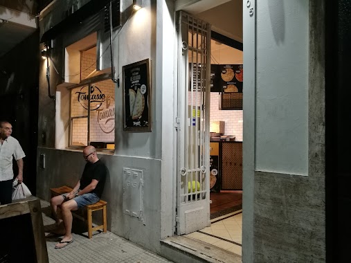
Tomasso
Jerónimo Salguero 505
Restaurant
read more
📑
all categories
Accounting
Administrative area level 1
Administrative area level 2
Airport
Amusement park
Aquarium
Art gallery
Atm
Bakery
Bank
Bar
Beauty salon
Bicycle store
Book store
Bowling alley
Bus station
Cafe
Campground
Car dealer
Car rental
Car repair
Car wash
Casino
Cemetery
Church
City hall
Clothing store
Colloquial area
Convenience store
Country
Courthouse
Dentist
Department store
Doctor
Electrician
Electronics store
Embassy
Establishment
Finance
Fire station
Florist
Food
Funeral home
Furniture store
Gas station
General contractor
Grocery or supermarket
Gym
Hair care
Hardware store
Health
Hindu Temple
Home goods store
Hospital
Insurance agency
Intersection
Jewelry store
Laundry
Lawyer
Library
Light rail station
Liquor store
Local government office
Locality
Locksmith
Lodging
Meal delivery
Meal takeaway
Mosque
Movie rental
Movie theater
Moving company
Museum
Natural feature
Neighborhood
Night club
Painter
Park
Parking
Pet store
Pharmacy
Physiotherapist
Place of worship
Plumber
Point of interest
Police
Political
Post office
Premise
Real estate agency
Restaurant
Roofing contractor
Route
Rv park, camping
School
Shoe store
Shopping mall
Spa
Stadium
Storage
Store
Subpremise
Subway station
Supermarket
Synagogue
Taxi stand
Train station
Transit station
Travel agency
University
Veterinary care
Zoo
sublocality level 1
sublocality level 3
↑