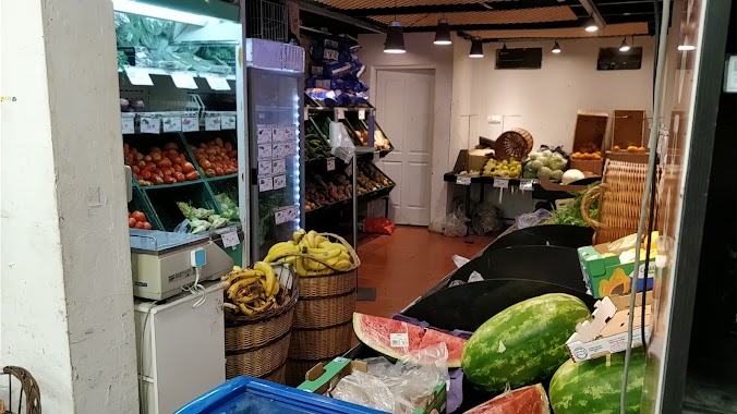
Supermarket nearby Día
Argentina
Supermarket nearby Día
Día
1238, Soldado de la Independencia, C1426, Comuna 14, Buenos Aires, AR Argentina
contacts phone
:
+54
website:
www.supermercadosdia.com.ar
Latitude:
-34.5643297
, Longitude:
-58.440072
larger map & directions
read more
nearest Supermarket
77 m
Carrefour Market Lacroze
Avenida Federico Lacroze 1755
Supermarket
read more
131 m
Supermercado Delfín
Avenida Luis María Campos 1323
Supermarket
read more
165 m
Aric Express
Migueletes 1338
Supermarket
read more
416 m
Supermercado Las Cañitas
Migueletes 961
Supermarket
read more
446 m
Supermercado "Oro"
Avenida Federico Lacroze 2173
Supermarket
read more
474 m
Día
C1426CPT, Avenida Federico Lacroze 2178
Supermarket
read more
649 m
Supermercado
Migueletes 1742, C1426BVB
Supermarket
read more
785 m
Carrefour Express
Avenida del Libertador 4534, Palermo
Supermarket
read more
857 m
Supermercado Super Store
Avenida Cabildo 1130
Supermarket
read more
886 m
Wellcome Supermercado
Arce 552
Supermarket
read more
933 m
Supermercado Dafu
Avenida Cabildo 318
Supermarket
read more
959 m
Carrefour Express Echeverría 1420
Echeverría 1420
Supermarket
read more
977 m
HUANG GUODONG
Echeverría 1602
Supermarket
read more
990 m
First mini mercado
Zapata 389
Supermarket
read more
996 m
Autoservicio Santa María
Ciudad de La Paz 924
Supermarket
read more
1.005 km
Día
Avenida Cabildo 1434
Supermarket
read more
1.021 km
Supermercados Día
Montañeses 2014, Belgrano
Supermarket
read more
1.023 km
Weng Xia Di supermarket
Ciudad de La Paz 485
Supermarket
read more
1.024 km
Rosa
Ciudad de La Paz 516
Supermarket
read more
1.074 km
Supermercado La Onda
Amenábar 806
Supermarket
read more
1.137 km
Carrefour Express
Amenábar 1187
Supermarket
read more
1.19 km
Carrefour Express Arévalo 2915
Arévalo 2915, Palermo
Supermarket
read more
1.19 km
Carrefour Express
Arévalo 2925
Supermarket
read more
1.198 km
Supermercado Trivilin
Arévalo 2806
Supermarket
read more
1.282 km
Supermercados DIA
Avenida del Libertador 6144
Supermarket
read more
📑
all categories
Accounting
Administrative area level 1
Administrative area level 2
Airport
Amusement park
Aquarium
Art gallery
Atm
Bakery
Bank
Bar
Beauty salon
Bicycle store
Book store
Bowling alley
Bus station
Cafe
Campground
Car dealer
Car rental
Car repair
Car wash
Casino
Cemetery
Church
City hall
Clothing store
Colloquial area
Convenience store
Country
Courthouse
Dentist
Department store
Doctor
Electrician
Electronics store
Embassy
Establishment
Finance
Fire station
Florist
Food
Funeral home
Furniture store
Gas station
General contractor
Grocery or supermarket
Gym
Hair care
Hardware store
Health
Hindu Temple
Home goods store
Hospital
Insurance agency
Intersection
Jewelry store
Laundry
Lawyer
Library
Light rail station
Liquor store
Local government office
Locality
Locksmith
Lodging
Meal delivery
Meal takeaway
Mosque
Movie rental
Movie theater
Moving company
Museum
Natural feature
Neighborhood
Night club
Painter
Park
Parking
Pet store
Pharmacy
Physiotherapist
Place of worship
Plumber
Point of interest
Police
Political
Post office
Premise
Real estate agency
Restaurant
Roofing contractor
Route
Rv park, camping
School
Shoe store
Shopping mall
Spa
Stadium
Storage
Store
Subpremise
Subway station
Supermarket
Synagogue
Taxi stand
Train station
Transit station
Travel agency
University
Veterinary care
Zoo
sublocality level 1
sublocality level 3
↑