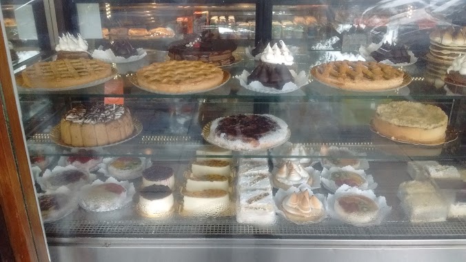
Bakery nearby Macarella
Argentina
Bakery nearby Macarella
Macarella
6898, Avenida del Libertador, Comuna 13, Buenos Aires, AR Argentina
contacts phone
:
+54 11 4787-2451
Latitude:
-34.54884
, Longitude:
-58.455264
larger map & directions
read more
nearest Bakery
280 m
Panaderia Montañeses
Montañeses 2799
Bakery
read more
510 m
La Argentina
Avenida del Libertador 6489
Bakery
read more
614 m
Oh Blonda Cocina
O'Higgins 3202
Bakery
read more
635 m
Praliné Cakes
Avenida Monroe 1690
Bakery
read more
660 m
Anush
Avenida Monroe 1789
Bakery
read more
688 m
Manuel
Avenida Congreso 2102
Bakery
read more
743 m
La Unión
Manuela Pedraza 2100
Bakery
read more
752 m
Ye Mei Mei
Grecia 3568
Bakery
read more
773 m
Dulce Tentacion Catering
O'Higgins 3440, C1429BBN
Bakery
read more
787 m
Panadería La Paz
Cuba 2947, CMD
Bakery
read more
793 m
La Fábrica
Avenida Monroe 2001
Bakery
read more
807 m
Pan y algo más
Manuel Ugarte 2191
Bakery
read more
915 m
Tienda de Panes CREMONA
Criaologo Larralde 2102
Bakery
read more
917 m
Kania
Avenida Congreso 2363
Bakery
read more
988 m
Puerto Dulce
Cuba 2484
Bakery
read more
988 m
Medialunas del Abuelo
Campos Salles 2391
Bakery
read more
999 m
La Favorita
Franklin D. Roosevelt 2331
Bakery
read more
1.009 km
Panaderia La Nueva Bombon SRL
Avenida Cabildo 3056
Bakery
read more
1.011 km
Ramallo Club
Avenida Cabildo 3108
Bakery
read more
1.041 km
Buenos Aires Bakery Suc Cabildo
Avenida Cabildo 3296
Bakery
read more
1.103 km
Churrería del Bajo
Juramento 1589
Bakery
read more
1.186 km
Peek & Pie
Doctor Pedro Ignacio Rivera 2553, C1428BQC
Bakery
read more
1.251 km
Buenos Aires Bakery.
Avenida del Libertador 5899, C1428ARB
Bakery
read more
1.266 km
Simona Panadería
Echeverría 1293
Bakery
read more
1.387 km
Macarella
11 de Septiembre 4374
Bakery
read more
📑
all categories
Accounting
Administrative area level 1
Administrative area level 2
Airport
Amusement park
Aquarium
Art gallery
Atm
Bakery
Bank
Bar
Beauty salon
Bicycle store
Book store
Bowling alley
Bus station
Cafe
Campground
Car dealer
Car rental
Car repair
Car wash
Casino
Cemetery
Church
City hall
Clothing store
Colloquial area
Convenience store
Country
Courthouse
Dentist
Department store
Doctor
Electrician
Electronics store
Embassy
Establishment
Finance
Fire station
Florist
Food
Funeral home
Furniture store
Gas station
General contractor
Grocery or supermarket
Gym
Hair care
Hardware store
Health
Hindu Temple
Home goods store
Hospital
Insurance agency
Intersection
Jewelry store
Laundry
Lawyer
Library
Light rail station
Liquor store
Local government office
Locality
Locksmith
Lodging
Meal delivery
Meal takeaway
Mosque
Movie rental
Movie theater
Moving company
Museum
Natural feature
Neighborhood
Night club
Painter
Park
Parking
Pet store
Pharmacy
Physiotherapist
Place of worship
Plumber
Point of interest
Police
Political
Post office
Premise
Real estate agency
Restaurant
Roofing contractor
Route
Rv park, camping
School
Shoe store
Shopping mall
Spa
Stadium
Storage
Store
Subpremise
Subway station
Supermarket
Synagogue
Taxi stand
Train station
Transit station
Travel agency
University
Veterinary care
Zoo
sublocality level 1
sublocality level 3
↑