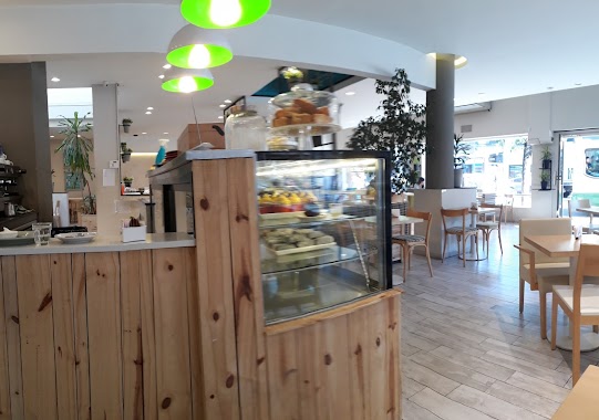
Bakery nearby Panadería y confitería SARMIENTO
Coronavirus disease (COVID-19) Situation
confirmed cases
10128845
deaths
130841
Argentina
Bakery nearby Panadería y confitería SARMIENTO
Panadería y confitería SARMIENTO
4396, Sarmiento, C1197, Comuna 5, Buenos Aires, AR Argentina
contacts phone
:
+54 11 2107-0246
Latitude:
-34.6043477
, Longitude:
-58.4272563
larger map & directions
read more
nearest Bakery
120 m
Vicente Juan C
Estado de Palestina 622
Bakery
read more
253 m
Whoopies
Avenida Corrientes 4508
Bakery
read more
401 m
Delgado Confitería
Avenida Corrientes 4631
Bakery
read more
421 m
Cooperativa de Trabajo la Cacerola Ltda.
Franklin 26
Bakery
read more
453 m
La Lucila
Presidente Teniente General Juan Domingo Perón 3997
Bakery
read more
453 m
Bakery & Confectionery La Lucila
Presidente Teniente General Juan Domingo Perón 3997
Bakery
read more
552 m
El Gallego del Pan
Avenida Angel Gallardo 48
Bakery
read more
568 m
La Nueva Fragola
Avenida Díaz Vélez 4505
Bakery
read more
636 m
Qué Delicias
Avenida Díaz Vélez 3990
Bakery
read more
695 m
Lorenzo Panadería & Patisserie
Jerónimo Salguero 572, Buenos Aires
Bakery
read more
695 m
Thousand Cranes Pastry
Bakery
read more
695 m
Mil Grullas Pastelería
Bakery
read more
802 m
The Flower Of The Park
Teniente General Eustoquio Frías 198
Bakery
read more
818 m
Panadería Nadiara
Avenida Medrano 889
Bakery
read more
843 m
Confitería Ceres
Avenida Córdoba 3979
Bakery
read more
856 m
El cañón porteño
Lavalleja 1094
Bakery
read more
856 m
Lara
Lavalleja 1094
Bakery
read more
861 m
Panadería Lorenzo
Avenida Medrano 921
Bakery
read more
877 m
Roel
Avenida Avellaneda 99
Bakery
read more
887 m
Los Patissiers
Bogotá 5
Bakery
read more
890 m
Buenas Costumbres panadería y confitería
C1414DRJ, Julián Álvarez 474
Bakery
read more
948 m
A la Par
Julián Álvarez 376
Bakery
read more
956 m
Lopez
Julián Álvarez 352
Bakery
read more
1.06 km
Panaderia
Bakery
read more
1.163 km
Caprice
Campichuelo 375
Bakery
read more
📑
all categories
Accounting
Administrative area level 1
Administrative area level 2
Airport
Amusement park
Aquarium
Art gallery
Atm
Bakery
Bank
Bar
Beauty salon
Bicycle store
Book store
Bowling alley
Bus station
Cafe
Campground
Car dealer
Car rental
Car repair
Car wash
Casino
Cemetery
Church
City hall
Clothing store
Colloquial area
Convenience store
Country
Courthouse
Dentist
Department store
Doctor
Electrician
Electronics store
Embassy
Establishment
Finance
Fire station
Florist
Food
Funeral home
Furniture store
Gas station
General contractor
Grocery or supermarket
Gym
Hair care
Hardware store
Health
Hindu Temple
Home goods store
Hospital
Insurance agency
Intersection
Jewelry store
Laundry
Lawyer
Library
Light rail station
Liquor store
Local government office
Locality
Locksmith
Lodging
Meal delivery
Meal takeaway
Mosque
Movie rental
Movie theater
Moving company
Museum
Natural feature
Neighborhood
Night club
Painter
Park
Parking
Pet store
Pharmacy
Physiotherapist
Place of worship
Plumber
Point of interest
Police
Political
Post office
Premise
Real estate agency
Restaurant
Roofing contractor
Route
Rv park, camping
School
Shoe store
Shopping mall
Spa
Stadium
Storage
Store
Subpremise
Subway station
Supermarket
Synagogue
Taxi stand
Train station
Transit station
Travel agency
University
Veterinary care
Zoo
sublocality level 1
sublocality level 3
↑