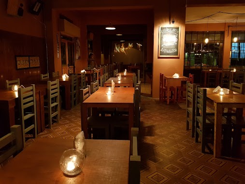
Bar nearby BLACK Hidden bar
Argentina
Bar nearby BLACK Hidden bar
BLACK Hidden bar
Calle 12, B1912, Villa Elvira, La Plata, AR Argentina
contacts phone
:
+54
Latitude:
-34.9380338
, Longitude:
-57.9298981
larger map & directions
read more
nearest Bar
685 m
Chalet Palazzolo
Avenida 72 630, La Plata
Bar
read more
823 m
Canchas de Fùtbol 5 - Camp Nou
BDR, Calle 69 863, La Plata
Bar
read more
836 m
La Pincoya
Calle 71 1075, La Plata
Bar
read more
837 m
Valnød. Vermut & Coctel
Avenida 7 1938, La Plata
Bar
read more
845 m
Imperio Pilsen
Calle 79 650-602, Villa Elvira
Bar
read more
848 m
Tercer Ojo
Calle 71 1089, La Plata
Bar
read more
881 m
Bar Imperio
Calle 17 1894, La Plata
Bar
read more
886 m
Ciudad Vieja
B1904BJS, Calle 71 1103, La Plata
Bar
read more
906 m
Mirapampa
Avenida 53 814, La Plata
Bar
read more
926 m
Buenos Muchachos
B1904BJT, Calle 71 1117, La Plata
Bar
read more
935 m
Garaje Cervecero
Calle 17 1851-1899, B1904CVQ, La Plata
Bar
read more
949 m
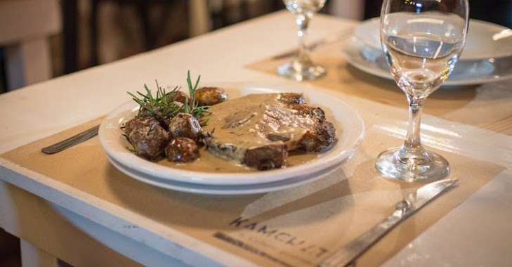
Kamchatka - Cultura Gourmet
Calle 71 1127 e/ 17 y 18, La Plata
Bar
read more
949 m
DONOVANS
Calle 71 1123, La Plata
Bar
read more
949 m
Don Goyo
Calle 71 1127, La Plata
Bar
read more
951 m
Don Goyo
BJS, Calle 71 1127, La Plata
Bar
Restaurant
Food
Point of interest
Establishment
read more
978 m
Chelas
B1904CVQ, Calle 17 1845, La Plata
Bar
read more
987 m
Hermanos and Brothers -Meridiano V-
Calle 71 1143, La Plata, Buenos Aires, La Plata
Bar
read more
987 m
Hermanos & Brothers
B1904CWR, Calle 18 1850-1898, La Plata
Bar
read more
990 m
Franchesca ShowRoom
Calle 71 & Calle 18, La Plata
Bar
read more
1.503 km
All Wine
Avenida 66 546, La Plata
Bar
read more
1.603 km
Refill La Plata
Calle 48 864, La Plata
Bar
read more
1.796 km
La Estación De Lulu
Calle 22 1691, B1904DAK, La Plata
Bar
read more
2.053 km
Estación Growler
B1904CLB, Avenida 7 1400, La Plata
Bar
read more
2.223 km
Bar De Agrupacion Politica KOKINA La Plata
Calle 10 1200, La Plata
Bar
read more
2.583 km
Pinta Rock
Calle 56 722, La Plata
Bar
read more
📑
all categories
Accounting
Administrative area level 1
Administrative area level 2
Airport
Amusement park
Aquarium
Art gallery
Atm
Bakery
Bank
Bar
Beauty salon
Bicycle store
Book store
Bowling alley
Bus station
Cafe
Campground
Car dealer
Car rental
Car repair
Car wash
Casino
Cemetery
Church
City hall
Clothing store
Colloquial area
Convenience store
Country
Courthouse
Dentist
Department store
Doctor
Electrician
Electronics store
Embassy
Establishment
Finance
Fire station
Florist
Food
Funeral home
Furniture store
Gas station
General contractor
Grocery or supermarket
Gym
Hair care
Hardware store
Health
Hindu Temple
Home goods store
Hospital
Insurance agency
Intersection
Jewelry store
Laundry
Lawyer
Library
Light rail station
Liquor store
Local government office
Locality
Locksmith
Lodging
Meal delivery
Meal takeaway
Mosque
Movie rental
Movie theater
Moving company
Museum
Natural feature
Neighborhood
Night club
Painter
Park
Parking
Pet store
Pharmacy
Physiotherapist
Place of worship
Plumber
Point of interest
Police
Political
Post office
Premise
Real estate agency
Restaurant
Roofing contractor
Route
Rv park, camping
School
Shoe store
Shopping mall
Spa
Stadium
Storage
Store
Subpremise
Subway station
Supermarket
Synagogue
Taxi stand
Train station
Transit station
Travel agency
University
Veterinary care
Zoo
sublocality level 1
sublocality level 3
↑