Bar nearby Casa Roo
Coronavirus disease (COVID-19) Situation
confirmed cases
10128845
deaths
130841
Argentina
Bar nearby Casa Roo
Casa Roo
4401, Calle 8, B1897, Gonnet, La Plata, AR Argentina
contacts phone
:
+54
Latitude:
-34.8708219
, Longitude:
-58.0173846
larger map & directions
read more
nearest Bar
1.102 km
La Garita Bar
3598,, Camino Parque Centenario 3118, Gonnet
Bar
read more
1.222 km
La esquinita
B1897FRQ 1769 Calle 501, FRQ, Gonnet
Bar
read more
1.303 km
Pulperia
Gonnet
Bar
read more
1.308 km
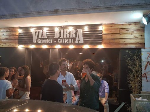
Via Birra
Boulevard 502 1780, Gonnet
Bar
read more
1.317 km
La carpintería - Espacio cervecero
Gonnet
Bar
read more
1.324 km
CERVEZA DACKEL
Gonnet
Bar
read more
1.523 km
Johnny B. Good
Camino Parque Centenario 2876, La Plata
Bar
read more
1.546 km
Peñon Cervecería
Camino Parque Centenario 2878, Gonnet
Bar
read more
2.158 km
The Black Rose City Bell
HFB, Calle 474 96, City Bell
Bar
read more
2.213 km
Jerry
Camino Centenario, Gonnet, La Plata
Bar
read more
2.27 km
Cervecería Patagonia
City Bell
Bar
read more
2.283 km
Cerveza Patagonia - Refugio City Bell
Calle 473 Bis 136, City Bell
Bar
read more
2.385 km
Antares City Bell
Luis Cantilo 115, City Bell
Bar
read more
2.426 km
Cerveceria Fussen
Calle Cantilo 244, 1896, City Bell
Bar
read more
2.452 km
Carlito’s Way - Birra&Barrio
Calle 473 Bis 448, City Bell
Bar
read more
2.467 km
Negroni
Calle Cantilo 322, City Bell
Bar
read more
2.523 km
Citra
Calle 472 181, City Bell
Bar
read more
2.549 km
Baum
Calle 472 13C, City Bell
Bar
read more
2.563 km
Vicente
399, Diagonal 3 301, City Bell
Bar
read more
2.619 km
Celina Resto
472 e / diagonal 3 y calle 14 n* 381, City Bell
Bar
read more
2.657 km
Baum City Bell
401-499, B1896HWI, Calle 13 C, City Bell
Bar
read more
2.723 km
Sabino
Calle 14 B 310, City Bell
Bar
read more
2.938 km
Cocktails & Dreams
Calle 472 928, City Bell
Bar
read more
3.079 km
Equilibrio
Centenario 645, City Bell, La Plata
Bar
read more
3.382 km
Musica maestro
B1897DUN, Calle 481 3500-3352, Gonnet
Bar
read more
📑
all categories
Accounting
Administrative area level 1
Administrative area level 2
Airport
Amusement park
Aquarium
Art gallery
Atm
Bakery
Bank
Bar
Beauty salon
Bicycle store
Book store
Bowling alley
Bus station
Cafe
Campground
Car dealer
Car rental
Car repair
Car wash
Casino
Cemetery
Church
City hall
Clothing store
Colloquial area
Convenience store
Country
Courthouse
Dentist
Department store
Doctor
Electrician
Electronics store
Embassy
Establishment
Finance
Fire station
Florist
Food
Funeral home
Furniture store
Gas station
General contractor
Grocery or supermarket
Gym
Hair care
Hardware store
Health
Hindu Temple
Home goods store
Hospital
Insurance agency
Intersection
Jewelry store
Laundry
Lawyer
Library
Light rail station
Liquor store
Local government office
Locality
Locksmith
Lodging
Meal delivery
Meal takeaway
Mosque
Movie rental
Movie theater
Moving company
Museum
Natural feature
Neighborhood
Night club
Painter
Park
Parking
Pet store
Pharmacy
Physiotherapist
Place of worship
Plumber
Point of interest
Police
Political
Post office
Premise
Real estate agency
Restaurant
Roofing contractor
Route
Rv park, camping
School
Shoe store
Shopping mall
Spa
Stadium
Storage
Store
Subpremise
Subway station
Supermarket
Synagogue
Taxi stand
Train station
Transit station
Travel agency
University
Veterinary care
Zoo
sublocality level 1
sublocality level 3
↑