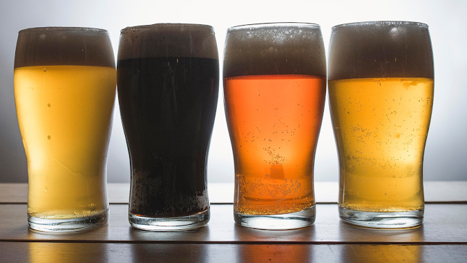
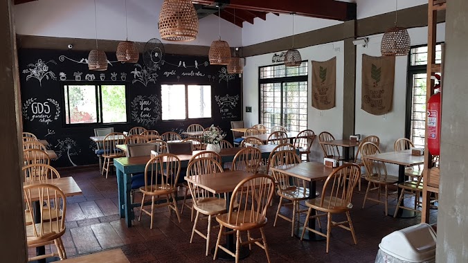
Bar nearby Manor
Argentina
Bar nearby Manor
Manor
1599, De los Baqueanos, B1715, Udaondo, Ituzaingó, AR Argentina
contacts phone
:
+54
Latitude:
-34.6223588
, Longitude:
-58.6961253
larger map & directions
read more
nearest Bar
308 m
La quinturria
De la Huella 3451, Udaondo
Bar
read more
396 m
La quinturri
De la Huella 3451, Udaondo
Bar
read more
522 m
Marty's
B1715BRC, Martín Fierro 3063, Udaondo
Bar
read more
538 m
Marty's
Martín Fierro 3063, Udaondo
Bar
read more
612 m
GARDENIAS
Martín Fierro 3022, Parque Leloir
Bar
read more
743 m
Bonafide
Martín Fierro 2936, Ituzaingó
Bar
read more
836 m
Cafe Martinez
B1715BRA, Martín Fierro 2905, Udaondo
Bar
read more
1.029 km
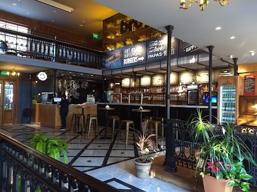
Cerveceria Brogan
Avenida Presidente Perón 8409, Ituzaingó
Bar
read more
1.058 km
Brogan Beer Garden
Colectora Norte Acceso Oeste, Udaondo
Bar
read more
1.062 km
La Esquina Malandra
Udaondo
Bar
read more
1.244 km
La Teodora BarRock
Presidente Perón 425, Ensenada
Bar
read more
1.71 km
SAN MIGUEL
igoim1992
Bar
read more
1.773 km
BAR DE DANIEL EDUARDO VILLAR
B1715BHB, Del Malambo 2000-2098, Udaondo
Bar
read more
1.98 km
Off Road EXISTENT
Segundo Sombra 3398, Udaondo
Bar
read more
2.07 km
Parador 1
Colectora Sur Acceso Oeste 7848, Ituzaingó
Bar
read more
2.091 km
Cork Cervecería
Avenida Presidente Perón 7811, Udaondo
Bar
read more
2.091 km
Cork Brewpub Leloir
Avenida Presidente Perón 7811, Udaondo
Bar
read more
2.12 km
Cork Brewpub Leloir
B1715AZC, Avenida Presidente Perón 1713, Udaondo
Bar
read more
2.295 km
Club De Previas Parque Leloir
El Tirador 1200-1298, Udaondo
Bar
read more
2.364 km
SAVAR
Avenida Presidente Perón 7565, Ituzaingó
Bar
read more
2.403 km
Chill out bar
B1715AZA, Colectora Norte Acceso Oeste 7565, Udaondo
Bar
read more
2.456 km
Fitz Roy
B1713BKC, Fitz Roy 3399-3499, Udaondo
Bar
read more
3.081 km
bar motores calientes
3199, B1714AFI, Famatina 3099, Ituzaingó
Bar
read more
3.123 km
Rock' N' Far I
Periodista Álvarez Pendas 7260, Trujui
Bar
read more
4.012 km
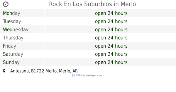
Rock En Los Suburbios
Antezana, Merlo
Bar
read more
📑
all categories
Accounting
Administrative area level 1
Administrative area level 2
Airport
Amusement park
Aquarium
Art gallery
Atm
Bakery
Bank
Bar
Beauty salon
Bicycle store
Book store
Bowling alley
Bus station
Cafe
Campground
Car dealer
Car rental
Car repair
Car wash
Casino
Cemetery
Church
City hall
Clothing store
Colloquial area
Convenience store
Country
Courthouse
Dentist
Department store
Doctor
Electrician
Electronics store
Embassy
Establishment
Finance
Fire station
Florist
Food
Funeral home
Furniture store
Gas station
General contractor
Grocery or supermarket
Gym
Hair care
Hardware store
Health
Hindu Temple
Home goods store
Hospital
Insurance agency
Intersection
Jewelry store
Laundry
Lawyer
Library
Light rail station
Liquor store
Local government office
Locality
Locksmith
Lodging
Meal delivery
Meal takeaway
Mosque
Movie rental
Movie theater
Moving company
Museum
Natural feature
Neighborhood
Night club
Painter
Park
Parking
Pet store
Pharmacy
Physiotherapist
Place of worship
Plumber
Point of interest
Police
Political
Post office
Premise
Real estate agency
Restaurant
Roofing contractor
Route
Rv park, camping
School
Shoe store
Shopping mall
Spa
Stadium
Storage
Store
Subpremise
Subway station
Supermarket
Synagogue
Taxi stand
Train station
Transit station
Travel agency
University
Veterinary care
Zoo
sublocality level 1
sublocality level 3
↑