Bar nearby Peke's Bar
Argentina
Bar nearby Peke's Bar
Peke's Bar
686, Calle Santiago del Estero, Salta, Capital, AR Argentinien
contacts phone
:
+54 387 576-1304
Latitude:
-24.7849054
, Longitude:
-65.4115426
larger map & directions
read more
nearest Bar
293 m
Bartom
Avenida Belgrano 696, Salta
Bar
read more
354 m
VIHU Resto Bar
Balcarce 658, Salta
Bar
read more
394 m
Charco's Sh
25 de Mayo 201, Salta
Bar
read more
458 m
Bar Museo Arqueologico Alta Montaña
B Mitre 77, Salta
Bar
read more
501 m
El Argentino
Centro Argentino, Avenida Sarmiento 277, Salta
Bar
read more
555 m
Tiempo de Plaza
Zuviría 16, Salta
Bar
read more
581 m
San Sebastián Bar
Salta
Bar
read more
650 m
Vinería Borra & Vino
Buenos Aires 46, Galería Salta, Local 2, Salta
Bar
read more
652 m
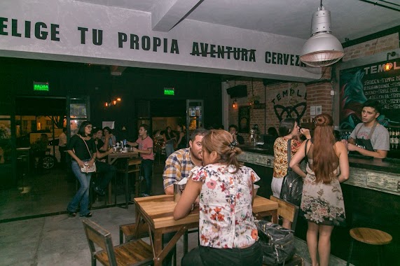
Temple Craft Salta
Avenida Belgrano 213, Salta
Bar
read more
691 m
Amnesia Resto Pub
899, Balcarce, Salta
Bar
read more
705 m
Seis VIEJAS
Necochea 745, Salta
Bar
read more
712 m
Hansen
Balcarce 902, Salta
Bar
read more
727 m
Virtualracer.Net Bar Sport
Balcarce 908, Salta
Bar
read more
770 m
Macondo Bar
Balcarce 980, Salta
Bar
read more
791 m
Charleston
Paseo Güemes 92, Salta
Bar
read more
806 m
Cafe Al Paso
Alvarado 426, 4400, Salta
Bar
read more
895 m
Filipo Cafe Resto Bar
Avenida del Bicentenario de la Batalla de Salta 500, Salta
Bar
read more
939 m
Soho Bar & resto
Avenida del Bicentenario de la Batalla de Salta 797, Salta
Bar
read more
944 m
Los Chatitos
Urquiza 1010, Salta
Bar
read more
951 m
Kiosco Nacional
Las Heras 199-299, Salta
Bar
read more
955 m
Papa Panchio
Alberdi 269-299, Salta
Bar
read more
961 m
Bonnie & Clyde
Salta, Avenida del Bicentenario de la Batalla de Salta 702, Salta
Bar
read more
998 m
Mooma
Gorriti 80, Salta
Bar
read more
1.027 km
Algo Distinto
Gorriti 80, Salta
Bar
read more
1.13 km
Abalos Regionales
Islas Malvinas 295, Salta
Bar
read more
📑
all categories
Accounting
Administrative area level 1
Administrative area level 2
Airport
Amusement park
Aquarium
Art gallery
Atm
Bakery
Bank
Bar
Beauty salon
Bicycle store
Book store
Bowling alley
Bus station
Cafe
Campground
Car dealer
Car rental
Car repair
Car wash
Casino
Cemetery
Church
City hall
Clothing store
Colloquial area
Convenience store
Country
Courthouse
Dentist
Department store
Doctor
Electrician
Electronics store
Embassy
Establishment
Finance
Fire station
Florist
Food
Funeral home
Furniture store
Gas station
General contractor
Grocery or supermarket
Gym
Hair care
Hardware store
Health
Hindu Temple
Home goods store
Hospital
Insurance agency
Intersection
Jewelry store
Laundry
Lawyer
Library
Light rail station
Liquor store
Local government office
Locality
Locksmith
Lodging
Meal delivery
Meal takeaway
Mosque
Movie rental
Movie theater
Moving company
Museum
Natural feature
Neighborhood
Night club
Painter
Park
Parking
Pet store
Pharmacy
Physiotherapist
Place of worship
Plumber
Point of interest
Police
Political
Post office
Premise
Real estate agency
Restaurant
Roofing contractor
Route
Rv park, camping
School
Shoe store
Shopping mall
Spa
Stadium
Storage
Store
Subpremise
Subway station
Supermarket
Synagogue
Taxi stand
Train station
Transit station
Travel agency
University
Veterinary care
Zoo
sublocality level 1
sublocality level 3
↑