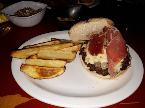
Bar nearby Rayuela
Coronavirus disease (COVID-19) Situation
confirmed cases
10128845
deaths
130841
Argentina
Bar nearby Rayuela
Rayuela
3199, General José Gervasio Artigas, Buenos Aires, AR Argentina
contacts phone
:
+54 11 4505-0155
website:
business.google.com
Latitude:
-34.596591
, Longitude:
-58.486336
larger map & directions
read more
nearest Bar
139 m
299 Cervecería
Avenida San Martín 4949
Bar
read more
275 m
Ciclo Básico Café
Curp edificio 2
Bar
read more
279 m
Hupulus
Avenida San Martín 4527
Bar
read more
532 m
Parkville
C1417DMJ, Alfredo R. Bufano 2930
Bar
read more
686 m
Bar
3450,, Avenida de los Constituyentes 3402
Bar
read more
716 m
Resto Bar Sahores
Santo Tomé 2496
Bar
read more
753 m
La Parrillita
Empedrado 2601
Bar
read more
753 m
Eh parrillon
Empedrado y Bolivia
Bar
read more
852 m
Fioti, Mabel Alicia
Raulies 2043
Bar
read more
867 m
Viejo Mundo - Warnes
Avenida Warnes 2702
Bar
read more
867 m
Viejo Mundo - Warnes
Av. Warnes 2702
Bar
read more
874 m
Green Beer Planet
Condarco 2601
Bar
read more
982 m
Bellagamba San Martín
Avenida San Martín 5672
Bar
read more
989 m
Aromi
Cuenca 3202
Bar
read more
1.029 km
Zidane Villa del Parque
Tinogasta 3224
Bar
read more
1.033 km
Fauno'ss
Quirós 3065
Bar
read more
1.038 km
Gunther Burguer & Biere
Tinogasta 3239
Bar
read more
1.044 km
Clan
Cuenca 2723
Bar
read more
1.165 km
Dorian Café y Bar
Avenida Salvador María del Carril 2498
Bar
read more
1.17 km
Maxikiosco LO DE JUAN
C1417FRL, Baigorria 3287
Bar
read more
1.187 km
Che Diego
C1416ACZ, Bernardo de León 2507
Bar
read more
1.215 km
Pallet Plastico 2
Adolfo P. Carranza 2228
Bar
read more
1.25 km
Madaffere Mario Norberto
Llavallol 2695
Bar
read more
1.253 km
Ritornare
Llavallol 3392
Bar
read more
1.292 km
Vinoteca Rincón de Cuyo
Nogoyá 3414
Bar
read more
📑
all categories
Accounting
Administrative area level 1
Administrative area level 2
Airport
Amusement park
Aquarium
Art gallery
Atm
Bakery
Bank
Bar
Beauty salon
Bicycle store
Book store
Bowling alley
Bus station
Cafe
Campground
Car dealer
Car rental
Car repair
Car wash
Casino
Cemetery
Church
City hall
Clothing store
Colloquial area
Convenience store
Country
Courthouse
Dentist
Department store
Doctor
Electrician
Electronics store
Embassy
Establishment
Finance
Fire station
Florist
Food
Funeral home
Furniture store
Gas station
General contractor
Grocery or supermarket
Gym
Hair care
Hardware store
Health
Hindu Temple
Home goods store
Hospital
Insurance agency
Intersection
Jewelry store
Laundry
Lawyer
Library
Light rail station
Liquor store
Local government office
Locality
Locksmith
Lodging
Meal delivery
Meal takeaway
Mosque
Movie rental
Movie theater
Moving company
Museum
Natural feature
Neighborhood
Night club
Painter
Park
Parking
Pet store
Pharmacy
Physiotherapist
Place of worship
Plumber
Point of interest
Police
Political
Post office
Premise
Real estate agency
Restaurant
Roofing contractor
Route
Rv park, camping
School
Shoe store
Shopping mall
Spa
Stadium
Storage
Store
Subpremise
Subway station
Supermarket
Synagogue
Taxi stand
Train station
Transit station
Travel agency
University
Veterinary care
Zoo
sublocality level 1
sublocality level 3
↑