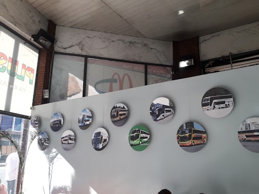
Bus station nearby Avenida Hipólito Yrigoyen 169-199
Coronavirus disease (COVID-19) Situation
confirmed cases
10128845
deaths
130841
Argentina
Bus station nearby Avenida Hipólito Yrigoyen 169-199
Avenida Hipólito Yrigoyen 169-199
Avellaneda, Provincia de Buenos Aires, Argentina
contacts phone
:
+54
Latitude:
-34.6586198
, Longitude:
-58.373047
larger map & directions
read more
nearest Bus station
160 m
Avenida Bartolomé Mitre 107
Argentina
Bus station
read more
328 m
José Ignacio Rucci 1-99
Argentina
Bus station
read more
348 m
Avenida Bartolomé Mitre 305-351
Argentina
Bus station
read more
365 m
Pedro de Luján 2110
Argentina
Bus station
read more
379 m
Avellaneda
Argentina
Bus station
read more
379 m
Avellaneda
Maipú 132, Avellaneda
Bus station
read more
484 m
Pedro de Luján 2336-2400
Argentina
Bus station
read more
553 m
Avenida Manuel Belgrano 463
Argentina
Bus station
read more
668 m
Avenida Manuel Belgrano 501-581
Argentina
Bus station
read more
688 m
Moisés Lebensohn 502-600
Argentina
Bus station
read more
707 m
Avenida Hipólito Yrigoyen 551-599
Argentina
Bus station
read more
791 m
Avenida Bartolomé Mitre 692
Argentina
Bus station
read more
805 m
Avenida Manuel Belgrano 621
Argentina
Bus station
read more
887 m
Avenida Manuel Belgrano 723
Argentina
Bus station
read more
943 m
Teniente General García 487
Argentina
Bus station
read more
985 m
25 de Mayo 202-288
Argentina
Bus station
read more
997 m
Fernández Edmundo 218
Argentina
Bus station
read more
998 m
Gobernador Oliden 601-699
Argentina
Bus station
read more
1.024 km
Fernández Edmundo 471-499
Argentina
Bus station
read more
1.046 km
Santo Domingo 2502-2570
Argentina
Bus station
read more
1.086 km
Avenida Bartolomé Mitre 933
Argentina
Bus station
read more
1.107 km
Moisés Lebensohn 802-900
Argentina
Bus station
read more
1.154 km
José Giribone 904-940
Argentina
Bus station
read more
1.198 km
Italia 101-199
Argentina
Bus station
read more
1.349 km
Avenida Presidente Bernardino Rivadavia 302-314
Argentina
Bus station
read more
📑
all categories
Accounting
Administrative area level 1
Administrative area level 2
Airport
Amusement park
Aquarium
Art gallery
Atm
Bakery
Bank
Bar
Beauty salon
Bicycle store
Book store
Bowling alley
Bus station
Cafe
Campground
Car dealer
Car rental
Car repair
Car wash
Casino
Cemetery
Church
City hall
Clothing store
Colloquial area
Convenience store
Country
Courthouse
Dentist
Department store
Doctor
Electrician
Electronics store
Embassy
Establishment
Finance
Fire station
Florist
Food
Funeral home
Furniture store
Gas station
General contractor
Grocery or supermarket
Gym
Hair care
Hardware store
Health
Hindu Temple
Home goods store
Hospital
Insurance agency
Intersection
Jewelry store
Laundry
Lawyer
Library
Light rail station
Liquor store
Local government office
Locality
Locksmith
Lodging
Meal delivery
Meal takeaway
Mosque
Movie rental
Movie theater
Moving company
Museum
Natural feature
Neighborhood
Night club
Painter
Park
Parking
Pet store
Pharmacy
Physiotherapist
Place of worship
Plumber
Point of interest
Police
Political
Post office
Premise
Real estate agency
Restaurant
Roofing contractor
Route
Rv park, camping
School
Shoe store
Shopping mall
Spa
Stadium
Storage
Store
Subpremise
Subway station
Supermarket
Synagogue
Taxi stand
Train station
Transit station
Travel agency
University
Veterinary care
Zoo
sublocality level 1
sublocality level 3
↑