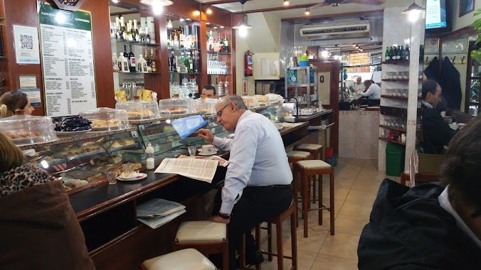
Cafe nearby Café de los Angelitos
Coronavirus disease (COVID-19) Situation
confirmed cases
10128845
deaths
130841
Argentina
Cafe nearby Café de los Angelitos
Café de los Angelitos
Rivadavia Avenue 2100, Corner of Rincón Street, C1033 CABA, Argentina
contacts phone
:
+54 11 4952-2320
Latitude:
-34.6095577
, Longitude:
-58.3961685
larger map & directions
read more
nearest Cafe
335 m
Espacio Cafe - Bar
Hipólito Yrigoyen, Buenos Aires 2355 ( entre Matheu y, Pichincha, C1089AAS
Cafe
read more
425 m
Angélica
Azcuénaga 153
Cafe
read more
504 m
Bonafide
Avenida Rivadavia 2496
Cafe
read more
531 m
Fariccí
Avenida Entre Ríos 301
Cafe
read more
615 m
Metalfer
Sarmiento 2441
Cafe
read more
633 m
Havanna
Riobamba 401, C1025ABI
Cafe
read more
682 m
Enol - Pizza & Cafe
Avenida Corrientes 2414
Cafe
read more
696 m
Bar Camila
Rodríguez Peña 331
Cafe
read more
736 m
Starbucks
Av Corrientes 1702
Cafe
read more
786 m
Bar El Vato
Av. Corrientes 1700-1612, C1042AAP, Buenos Aires
Cafe
read more
810 m
Candy
Paraná 116
Cafe
read more
903 m
Las Medialunas del Abuelo
San José 91
Cafe
read more
920 m
La Lucila
San José 18
Cafe
read more
934 m
Cafe Door's
Tucumán 1702
Cafe
read more
938 m
Tío Ángel
México 1599
Cafe
read more
944 m
Havanna
Avenida Pueyrredón 140
Cafe
read more
945 m
Carrá
Lavalle 1609
Cafe
read more
1000 m
Edición Limitada
Lavalle 1546
Cafe
read more
1.018 km
Bonafide
Avenida Pueyrredón 529
Cafe
read more
1.123 km
La Picoña
Viamonte 1645
Cafe
read more
1.16 km
Café Tribunales
Uruguay 485
Cafe
read more
1.163 km
Café Estero
Viamonte 2602
Cafe
read more
1.164 km
Casa e
Avenida Independencia 1565
Cafe
read more
1.25 km
Faricci Heladeria Av Pueyrredon
Avenida Pueyrredón 802
Cafe
read more
1.317 km
Havanna
Uruguay 695
Cafe
read more
📑
all categories
Accounting
Administrative area level 1
Administrative area level 2
Airport
Amusement park
Aquarium
Art gallery
Atm
Bakery
Bank
Bar
Beauty salon
Bicycle store
Book store
Bowling alley
Bus station
Cafe
Campground
Car dealer
Car rental
Car repair
Car wash
Casino
Cemetery
Church
City hall
Clothing store
Colloquial area
Convenience store
Country
Courthouse
Dentist
Department store
Doctor
Electrician
Electronics store
Embassy
Establishment
Finance
Fire station
Florist
Food
Funeral home
Furniture store
Gas station
General contractor
Grocery or supermarket
Gym
Hair care
Hardware store
Health
Hindu Temple
Home goods store
Hospital
Insurance agency
Intersection
Jewelry store
Laundry
Lawyer
Library
Light rail station
Liquor store
Local government office
Locality
Locksmith
Lodging
Meal delivery
Meal takeaway
Mosque
Movie rental
Movie theater
Moving company
Museum
Natural feature
Neighborhood
Night club
Painter
Park
Parking
Pet store
Pharmacy
Physiotherapist
Place of worship
Plumber
Point of interest
Police
Political
Post office
Premise
Real estate agency
Restaurant
Roofing contractor
Route
Rv park, camping
School
Shoe store
Shopping mall
Spa
Stadium
Storage
Store
Subpremise
Subway station
Supermarket
Synagogue
Taxi stand
Train station
Transit station
Travel agency
University
Veterinary care
Zoo
sublocality level 1
sublocality level 3
↑