Cafe nearby Colores
Coronavirus disease (COVID-19) Situation
confirmed cases
10128845
deaths
130841
Argentina
Cafe nearby Colores
Colores
4555, Sarmiento, C1414, Comuna 5, Buenos Aires, AR Argentina
contacts phone
:
+54
Latitude:
-34.6039749
, Longitude:
-58.429735
larger map & directions
read more
nearest Cafe
109 m
Escuela de Pastelería Profesional
C1197AAP 4488, AAP, Sarmiento
Cafe
read more
211 m
Río Café Bar
Sarmiento 4699
Cafe
read more
300 m
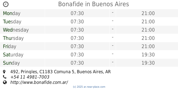
Bonafide
Pringles 492
Cafe
read more
381 m
Havanna - Hospital Italiano
Tte. General Juan Domingo Perón 4201
Cafe
read more
423 m
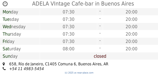
ADELA VIntage Cafe-bar
Río de Janeiro 658
Cafe
read more
446 m
Café Martínez
Presidente Teniente General Juan Domingo Perón 4169
Cafe
read more
507 m
El Payaso
Gascón 569
Cafe
read more
643 m
Ojalá Te Enamores Pastelería
Julián Álvarez 649
Cafe
read more
715 m
Don Vicente Cafetería
Francisco Acuña de Figueroa 300
Cafe
read more
872 m
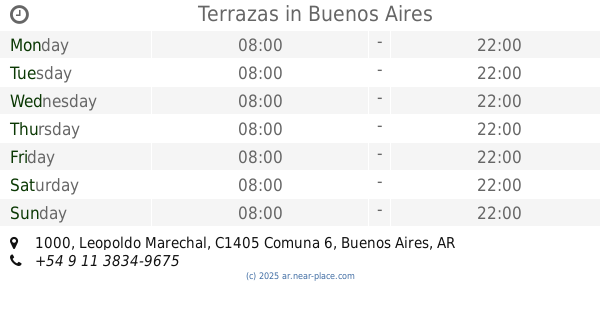
Terrazas
Leopoldo Marechal 1000
Cafe
read more
896 m
Hugo's Cafe
Castillo 388
Cafe
read more
910 m
Dodge
Avenida Raúl Scalabrini Ortíz y, Av
Cafe
read more
939 m
Havanna
Avenida Raúl Scalabrini Ortíz 324, C1414DNQ
Cafe
read more
948 m
Café Martínez
Avenida Raúl Scalabrini Ortíz 306
Cafe
read more
972 m
Pequeño Jacinto
5233 Avenida Corrientes C1414AJF, AJF
Cafe
read more
972 m
Souperí Cafe
Avenida Corrientes 5233
Cafe
read more
1.033 km
Café Güemes
Francisco Acuña de Figueroa 1220
Cafe
read more
1.037 km
Don
C1414DLM, Vera 601
Cafe
read more
1.078 km
Chungo Ice Cream, Coffee and Delicatessen
Avenida Rivadavia 4053
Cafe
read more
1.101 km
Bonafide
Malabia 364
Cafe
read more
1.109 km
Bar Alexis
Malabia 334
Cafe
read more
1.19 km
Murillo
Avenida Rivadavia 3801
Cafe
read more
1.206 km
Havanna
Avenida Rivadavia 3830
Cafe
read more
1.208 km
Havanna
Avenida Rivadavia 3828
Cafe
read more
1.212 km
Heladería GRIDO
Castro Barros 49
Cafe
read more
📑
all categories
Accounting
Administrative area level 1
Administrative area level 2
Airport
Amusement park
Aquarium
Art gallery
Atm
Bakery
Bank
Bar
Beauty salon
Bicycle store
Book store
Bowling alley
Bus station
Cafe
Campground
Car dealer
Car rental
Car repair
Car wash
Casino
Cemetery
Church
City hall
Clothing store
Colloquial area
Convenience store
Country
Courthouse
Dentist
Department store
Doctor
Electrician
Electronics store
Embassy
Establishment
Finance
Fire station
Florist
Food
Funeral home
Furniture store
Gas station
General contractor
Grocery or supermarket
Gym
Hair care
Hardware store
Health
Hindu Temple
Home goods store
Hospital
Insurance agency
Intersection
Jewelry store
Laundry
Lawyer
Library
Light rail station
Liquor store
Local government office
Locality
Locksmith
Lodging
Meal delivery
Meal takeaway
Mosque
Movie rental
Movie theater
Moving company
Museum
Natural feature
Neighborhood
Night club
Painter
Park
Parking
Pet store
Pharmacy
Physiotherapist
Place of worship
Plumber
Point of interest
Police
Political
Post office
Premise
Real estate agency
Restaurant
Roofing contractor
Route
Rv park, camping
School
Shoe store
Shopping mall
Spa
Stadium
Storage
Store
Subpremise
Subway station
Supermarket
Synagogue
Taxi stand
Train station
Transit station
Travel agency
University
Veterinary care
Zoo
sublocality level 1
sublocality level 3
↑