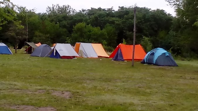
Campground nearby Camping AGEC Santa Maria de Punilla
Coronavirus disease (COVID-19) Situation
confirmed cases
10128845
deaths
130841
Argentina
Campground nearby Camping AGEC Santa Maria de Punilla
Camping AGEC Santa Maria de Punilla
Cordoba, Argentina
contacts phone
:
+54
Latitude:
-31.2750317
, Longitude:
-64.459756
larger map & directions
read more
nearest Campground
185 m
Camping Santa Maria Mutual de Policia
Fermin Rodriguez 2150, Santa María de Punilla
Campground
read more
209 m
Camping Gota de Sol
s/n, a km 38, Ruta Nacional 7 1
Campground
read more
327 m
Camping Arenas
Córdoba
Campground
read more
373 m
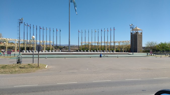
Camping THE WORLD OF ROCK
Cordoba
Campground
read more
373 m
Camping EL MUNDO DEL ROCK
Córdoba
Campground
read more
476 m
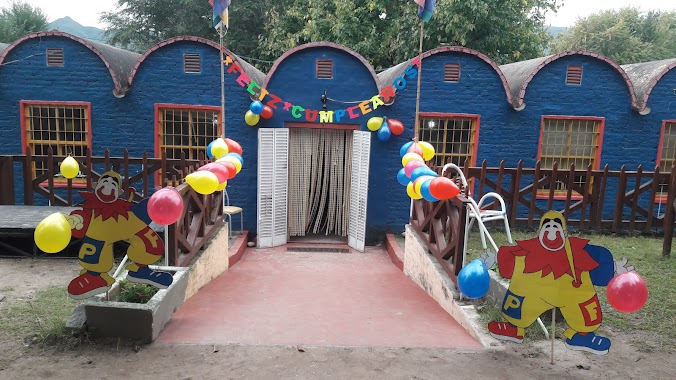
Camping Municipal Santa Maria de Punilla
Ruta Nacional 38 1837
Campground
read more
2.104 km
Camping Caravana
Córdoba
Campground
read more
2.544 km
prospero molina
1847, Figueroa Alcorta, Cosquín
Campground
read more
2.569 km
Camping Apacheta
Cosquín
Campground
read more
2.851 km
Camping La Martina
Av. Cap. Aviador Omar Castillo, esquina, Alfredo Zitarrosa 13, Cosquín, Córdoba, Cosquin
Campground
read more
2.912 km
Camping La Negra
Córdoba
Campground
read more
4.291 km
Camping Pan De Azucar
Pan de Azucar, Cosquín
Campground
read more
4.377 km
Camping Arboles Grandes
Cosquín
Campground
read more
4.405 km
Autocamping Cosquín
Presidente Perón y Soberanía Nacional, Cosquín
Campground
read more
4.592 km
Camping Tibidabo
Cosquín
Campground
read more
6.69 km
Camping Bosque Del Lago
Doctor Enrique Zarate
Campground
read more
8.706 km
Camping
Córdoba
Campground
read more
10.594 km
Casa Bamba
RP E55
Campground
read more
13.284 km
Camping Smata
Ruta Nacional 38 27, Valle Hermoso
Campground
read more
14.747 km
El Serranito
Cordoba
Campground
read more
15.116 km
Chañares de Sofia
Unnamed Rd,, Córdoba
Campground
read more
16.471 km
Camping Cabalango
Cabalango
Campground
read more
16.747 km
Pileta arco iris
Avenida San Martín 2435
Campground
read more
18.117 km
Complejo La Italiana
Río Ceballos
Campground
read more
18.188 km
Camping El Apeo
Cno. A Flor Serrana
Campground
read more
📑
all categories
Accounting
Administrative area level 1
Administrative area level 2
Airport
Amusement park
Aquarium
Art gallery
Atm
Bakery
Bank
Bar
Beauty salon
Bicycle store
Book store
Bowling alley
Bus station
Cafe
Campground
Car dealer
Car rental
Car repair
Car wash
Casino
Cemetery
Church
City hall
Clothing store
Colloquial area
Convenience store
Country
Courthouse
Dentist
Department store
Doctor
Electrician
Electronics store
Embassy
Establishment
Finance
Fire station
Florist
Food
Funeral home
Furniture store
Gas station
General contractor
Grocery or supermarket
Gym
Hair care
Hardware store
Health
Hindu Temple
Home goods store
Hospital
Insurance agency
Intersection
Jewelry store
Laundry
Lawyer
Library
Light rail station
Liquor store
Local government office
Locality
Locksmith
Lodging
Meal delivery
Meal takeaway
Mosque
Movie rental
Movie theater
Moving company
Museum
Natural feature
Neighborhood
Night club
Painter
Park
Parking
Pet store
Pharmacy
Physiotherapist
Place of worship
Plumber
Point of interest
Police
Political
Post office
Premise
Real estate agency
Restaurant
Roofing contractor
Route
Rv park, camping
School
Shoe store
Shopping mall
Spa
Stadium
Storage
Store
Subpremise
Subway station
Supermarket
Synagogue
Taxi stand
Train station
Transit station
Travel agency
University
Veterinary care
Zoo
sublocality level 1
sublocality level 3
↑