Hospital nearby Omint
Coronavirus disease (COVID-19) Situation
confirmed cases
10128845
deaths
130841
Argentina
Hospital nearby Omint
Omint
2866, Avenida Santa Fe, C1425, Comuna 2, Buenos Aires, AR Argentina
contacts phone
:
+54
Latitude:
-34.5920908
, Longitude:
-58.4069625
larger map & directions
read more
nearest Hospital
161 m
Centro CIEN Buenos Aires
Gallo 1671
Hospital
read more
224 m
Dental Clover
1214, ABX, Bulnes
Hospital
read more
265 m
Centro de Otorrinolaringología Dr. Chinski (CECHIN)
Charcas 2777, Buenos Aires
Hospital
read more
490 m
Hospital Alemán
Avenida Pueyrredón 1640
Hospital
read more
587 m
Diagnóstico Rojas
1810, Laprida
Hospital
read more
607 m
Partera Silvina Cadilla
Guise 1851
Hospital
read more
630 m
Stamboulian Health Services
French 3085
Hospital
read more
655 m
Sanatorio Anchorena
Doctor Tomás Manuel de Anchorena 1877
Hospital
read more
674 m
Carlos Taquini Medical Center
AYP, Juncal 3118
Hospital
read more
683 m
Consultorios Medicos Dra. CASASCO
Marcelo T. de Alvear 2345, PISO 3. B, Ciudad Autonoma de Buenos Aires
Hospital
read more
696 m
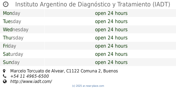
Instituto Argentino de Diagnóstico y Tratamiento (IADT)
2400, AAL, Marcelo Torcuato de Alvear
Hospital
read more
717 m
Medical's
Marcelo Torcuato de Alvear 2354
Hospital
read more
744 m
Sanatorio Finochietto
Avenida Córdoba 2678, Buenos Aires
Hospital
read more
767 m
Rehabilitación
C1115AAE, Azcuénaga 1077
Hospital
read more
906 m
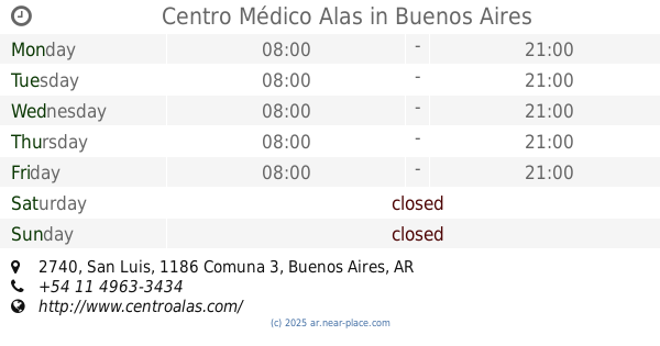
Centro Médico Alas
San Luis 2740
Hospital
read more
915 m
Hospital General de Agudos Bernardino Rivadavia
Av. Gral. Las Heras 2670
Hospital
read more
923 m
Mariana Matelli
Avenida Medrano 1970
Hospital
read more
927 m
Academia De Medicina
José Andrés Pacheco de Melo 3081
Hospital
read more
973 m
Hospital Rivadavia
Sánchez de Bustamante 2401-2599
Hospital
read more
1.006 km
Ruggeri Y Las Heras
Mario Bravo 1050, C1175ABT
Hospital
read more
1.043 km
Cemic
Avenida General Las Heras 2900
Hospital
read more
1.086 km
CEMIC
Avenida General Las Heras 2867, Buenos Aires
Hospital
read more
1.086 km
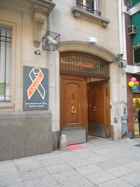
LALCEC
Aráoz 2380
Hospital
read more
1.098 km
Choluela
Presidente José Evaristo Uriburu 1590
Hospital
read more
1.104 km
Dr Paparatto
Bulnes 1884
Hospital
read more
📑
all categories
Accounting
Administrative area level 1
Administrative area level 2
Airport
Amusement park
Aquarium
Art gallery
Atm
Bakery
Bank
Bar
Beauty salon
Bicycle store
Book store
Bowling alley
Bus station
Cafe
Campground
Car dealer
Car rental
Car repair
Car wash
Casino
Cemetery
Church
City hall
Clothing store
Colloquial area
Convenience store
Country
Courthouse
Dentist
Department store
Doctor
Electrician
Electronics store
Embassy
Establishment
Finance
Fire station
Florist
Food
Funeral home
Furniture store
Gas station
General contractor
Grocery or supermarket
Gym
Hair care
Hardware store
Health
Hindu Temple
Home goods store
Hospital
Insurance agency
Intersection
Jewelry store
Laundry
Lawyer
Library
Light rail station
Liquor store
Local government office
Locality
Locksmith
Lodging
Meal delivery
Meal takeaway
Mosque
Movie rental
Movie theater
Moving company
Museum
Natural feature
Neighborhood
Night club
Painter
Park
Parking
Pet store
Pharmacy
Physiotherapist
Place of worship
Plumber
Point of interest
Police
Political
Post office
Premise
Real estate agency
Restaurant
Roofing contractor
Route
Rv park, camping
School
Shoe store
Shopping mall
Spa
Stadium
Storage
Store
Subpremise
Subway station
Supermarket
Synagogue
Taxi stand
Train station
Transit station
Travel agency
University
Veterinary care
Zoo
sublocality level 1
sublocality level 3
↑