Local government office nearby MRM
Coronavirus disease (COVID-19) Situation
confirmed cases
10128845
deaths
130841
Argentina
Local government office nearby MRM
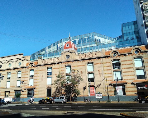
MRM
1558, Piedras, C1140, Comuna 1, Buenos Aires, AR Argentina
contacts phone
:
+54
Latitude:
-34.62682
, Longitude:
-58.375759
larger map & directions
read more
nearest Local government office
367 m
Subte C CONSTITUCION
Lima 1600
Local government office
read more
382 m
Ferrobaires
General Hornos 11
Local government office
read more
421 m
Instituto de Vivienda de la Ciudad
Doctor Enrique Finochietto 435
Local government office
read more
425 m
Ministry of Social Development
Piedras
Local government office
read more
434 m
Ministerio De Habitat y Desarrollo Humano - GCBA
Piedras 1281, C1140ABA
Local government office
read more
474 m
Playa de acarreo Tacuari - Gbca
Tacuarí 1277
Local government office
read more
524 m
Departamento P. Emergencias
General Hornos 238
Local government office
read more
564 m
Oficina GCBA para presentación de plan de evacuación
C1165ABP, Avenida Martín García 364
Local government office
read more
591 m
Palacio Lezama
Avenida Martín García 344
Local government office
read more
604 m
Ministerio de Ambiente y Espacio Público
Avenida Martín García 346
Local government office
read more
625 m
Instituto de Seg Soc y Seguros de la Pcia de Chubut
Perú 1145
Local government office
read more
698 m
Burger Oficina
C1153ABK, Avenida Juan de Garay 1269
Local government office
read more
770 m
Subte C SAN JUAN
Bermardo de Irigoyen 1100
Local government office
read more
792 m
RENAPER MINISTERIO DE JUSTICIA
Salta 2007, Buenos Aires
Local government office
read more
796 m
Centro de Acceso a la Justicia - Constitución
Salta 2007
Local government office
read more
838 m
Agencia de Protección Ambiental
C1073AAW, Lima 1111
Local government office
read more
937 m
Subte E SAN JOSE
Avenida San Juan 1300
Local government office
read more
943 m
Ente Nacional de Comunicaciones
Local government office
read more
951 m
Pasporte (Paseo Colon)
Avenida Paseo Colón 1093
Local government office
read more
1.018 km
Dirección General de Estadistica y Censos
C1148AAB, Avenida San Juan 1369
Local government office
read more
1.049 km
Inicio Metrobus del Bajo
Avenida Paseo Colón
Local government office
read more
1.067 km
Centro Integral de Evaluación y Orientación de la Discapacidad
Avenida Ingeniero Huergo 1189
Local government office
read more
1.127 km
Humberto 1° 102- Almacenes
C1103ACB, Humberto 1º 2
Local government office
read more
1.246 km
Direccion General Ferias Y Mercados
C1107AOJ, Avenida Ingeniero Huergo 949
Local government office
read more
1.254 km
Kioshi
Avenida Alicia Moreau de Justo 1780
Local government office
read more
📑
all categories
Accounting
Administrative area level 1
Administrative area level 2
Airport
Amusement park
Aquarium
Art gallery
Atm
Bakery
Bank
Bar
Beauty salon
Bicycle store
Book store
Bowling alley
Bus station
Cafe
Campground
Car dealer
Car rental
Car repair
Car wash
Casino
Cemetery
Church
City hall
Clothing store
Colloquial area
Convenience store
Country
Courthouse
Dentist
Department store
Doctor
Electrician
Electronics store
Embassy
Establishment
Finance
Fire station
Florist
Food
Funeral home
Furniture store
Gas station
General contractor
Grocery or supermarket
Gym
Hair care
Hardware store
Health
Hindu Temple
Home goods store
Hospital
Insurance agency
Intersection
Jewelry store
Laundry
Lawyer
Library
Light rail station
Liquor store
Local government office
Locality
Locksmith
Lodging
Meal delivery
Meal takeaway
Mosque
Movie rental
Movie theater
Moving company
Museum
Natural feature
Neighborhood
Night club
Painter
Park
Parking
Pet store
Pharmacy
Physiotherapist
Place of worship
Plumber
Point of interest
Police
Political
Post office
Premise
Real estate agency
Restaurant
Roofing contractor
Route
Rv park, camping
School
Shoe store
Shopping mall
Spa
Stadium
Storage
Store
Subpremise
Subway station
Supermarket
Synagogue
Taxi stand
Train station
Transit station
Travel agency
University
Veterinary care
Zoo
sublocality level 1
sublocality level 3
↑