Lodging nearby Rincon de Sol
Argentina
Lodging nearby Rincon de Sol
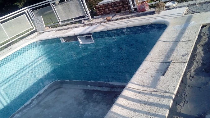
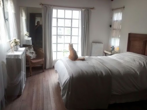
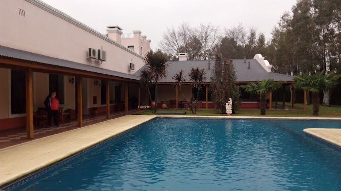
Rincon de Sol
Misiones 212 Los Pinos Exaltacion de, la cruz, Argentina
contacts phone
:
+54
Latitude:
-34.3864095
, Longitude:
-59.0668522
larger map & directions
read more
nearest Lodging
438 m
El Quincho
La Patria
Lodging
read more
503 m
Quinta Exaltacion De La Cruz
La Patria
Lodging
read more
1.064 km
“La Fortaleza”
Coronel Manuel Dorrego
Lodging
read more
1.097 km
Chacra La Angelica
Unnamed Road
Lodging
read more
1.165 km
quinta bellos momentos
Los Amores
Lodging
read more
1.32 km
El campito de Paloma
La Firmeza entre La Zamba y LaFortinera Barrio "El Remanso"Exaltación de la Cruz,, Del Parque
Lodging
read more
1.896 km
QUINTA PICASSO
Exaltación de la Cruz
Lodging
read more
1.921 km
Quinta el Cortijo
Unnamed Road
Lodging
read more
1.974 km
Quinta Maria del Rosario
Portezuelo
Lodging
read more
2.105 km
Bosque Encantado
El Caramba
Lodging
read more
2.128 km
Cabaña KUMELEN
Ruta 8 Km 74, Calle Rio Areco 579, Exaltación de la Cruz
Lodging
read more
2.176 km
Barrio Privado San Joaquin - Capilla del señor
Exaltación de la Cruz
Lodging
read more
2.346 km
el pinar de los patos
Los Lanceros
Lodging
read more
2.366 km
El Remanso
El Guardamonte
Lodging
read more
2.375 km
QUINTA
Cañada de la Cruz
Lodging
read more
2.764 km
Quinta COLOMBO
Buenos Aires Province
Lodging
read more
2.764 km
Quinta COLOMBO
Buenos Aires
Lodging
read more
2.833 km
Ave Fenix
Garcilaso de la Vega
Lodging
read more
4.2 km
Rancho Del Pilar
Pilar
Lodging
read more
4.529 km
Country Club el Jagüel
Pilar
Lodging
read more
4.611 km
Dos estribos
Unnamed Road
Lodging
read more
4.897 km
Las Lechuzas
Exaltación de la Cruz
Lodging
read more
5.026 km
Estancia San Joaquin
Ruta Provincial N°6 km 171.5
Lodging
read more
5.421 km
La Reserva. CAPILLA Del Señor
Exaltación de la Cruz
Lodging
read more
5.423 km
Campo Jose Estevez
Unnamed Rd,
Lodging
read more
📑
all categories
Accounting
Administrative area level 1
Administrative area level 2
Airport
Amusement park
Aquarium
Art gallery
Atm
Bakery
Bank
Bar
Beauty salon
Bicycle store
Book store
Bowling alley
Bus station
Cafe
Campground
Car dealer
Car rental
Car repair
Car wash
Casino
Cemetery
Church
City hall
Clothing store
Colloquial area
Convenience store
Country
Courthouse
Dentist
Department store
Doctor
Electrician
Electronics store
Embassy
Establishment
Finance
Fire station
Florist
Food
Funeral home
Furniture store
Gas station
General contractor
Grocery or supermarket
Gym
Hair care
Hardware store
Health
Hindu Temple
Home goods store
Hospital
Insurance agency
Intersection
Jewelry store
Laundry
Lawyer
Library
Light rail station
Liquor store
Local government office
Locality
Locksmith
Lodging
Meal delivery
Meal takeaway
Mosque
Movie rental
Movie theater
Moving company
Museum
Natural feature
Neighborhood
Night club
Painter
Park
Parking
Pet store
Pharmacy
Physiotherapist
Place of worship
Plumber
Point of interest
Police
Political
Post office
Premise
Real estate agency
Restaurant
Roofing contractor
Route
Rv park, camping
School
Shoe store
Shopping mall
Spa
Stadium
Storage
Store
Subpremise
Subway station
Supermarket
Synagogue
Taxi stand
Train station
Transit station
Travel agency
University
Veterinary care
Zoo
sublocality level 1
sublocality level 3
↑