Night club nearby Cocoliche
Coronavirus disease (COVID-19) Situation
confirmed cases
10128845
deaths
130841
Argentina
Night club nearby Cocoliche
Cocoliche
878, Avenida Rivadavia, C1002, Comuna 1, Buenos Aires, AR Argentina
contacts phone
:
+54
website:
www.residentadvisor.net
Latitude:
-34.6083449
, Longitude:
-58.3788616
larger map & directions
read more
nearest Night club
113 m
Requiem Club
Avenida de Mayo 948
Night club
read more
123 m
bardo ex mocoro
Avenida Hipólito Yrigoyen 851
Night club
read more
217 m
Renzo Fc
Avenida 9 de Julio, Buenos Aires
Night club
read more
271 m
Club One
C1088AAB, Adolfo Alsina 940, Buenos Aires
Night club
read more
450 m
Vespasiani Automotores Sa
Night club
read more
452 m
Sala De Ensayo Aurora Lubiz
C1041AAP, Sarmiento 722
Night club
read more
487 m
Jzjdb
Florida 250
Night club
read more
681 m
Pv Talca
Talcahuano 308, Buenos Aires
Night club
read more
684 m
Meganight Fest
Presidente Teniente General Juan Domingo Perón 1372
Night club
read more
730 m
Club MUSEUM Bs As
Perú 535, C1068AAA, Buenos Aires
Night club
read more
744 m
Discoteca Bar Amigo
Night club
read more
761 m
Bebop Club
Moreno 364
Night club
read more
781 m
Andre Cartagena Disc Jockey
Balcarce 236
Night club
read more
794 m
Keni's
Salta 524, C1074AAL
Night club
read more
795 m
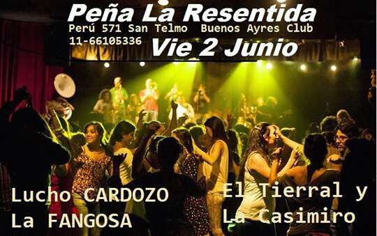
Club Peña La Resentida.
C1068AAA, Perú 571
Night club
read more
827 m
AndroPenis
Presidente Luis Sáenz Peña 127, Plaza Congreso
Night club
read more
832 m
HUANG HE - VIGOR VIRIL
Presidente Luis Sáenz Peña 127, Congreso
Night club
read more
869 m
Studio
5 de Julio 444
Night club
read more
990 m
Es Vedrä by M.O.D.
Balcarce 563
Night club
read more
990 m
Loft - After Office
Balcarce 563
Night club
read more
1000 m
MARÍA - Exclusivo Mujeres
C1064AAK, Balcarce 563
Night club
read more
1.074 km
Varés, El Sótano de Viamonte
Viamonte 1332
Night club
read more
1.102 km
Casablanca
Balcarce 678
Night club
read more
1.126 km
Discoteca A Media Luz
Night club
read more
1.205 km
Esquina Tango club
San Lorenzo 312
Night club
read more
📑
all categories
Accounting
Administrative area level 1
Administrative area level 2
Airport
Amusement park
Aquarium
Art gallery
Atm
Bakery
Bank
Bar
Beauty salon
Bicycle store
Book store
Bowling alley
Bus station
Cafe
Campground
Car dealer
Car rental
Car repair
Car wash
Casino
Cemetery
Church
City hall
Clothing store
Colloquial area
Convenience store
Country
Courthouse
Dentist
Department store
Doctor
Electrician
Electronics store
Embassy
Establishment
Finance
Fire station
Florist
Food
Funeral home
Furniture store
Gas station
General contractor
Grocery or supermarket
Gym
Hair care
Hardware store
Health
Hindu Temple
Home goods store
Hospital
Insurance agency
Intersection
Jewelry store
Laundry
Lawyer
Library
Light rail station
Liquor store
Local government office
Locality
Locksmith
Lodging
Meal delivery
Meal takeaway
Mosque
Movie rental
Movie theater
Moving company
Museum
Natural feature
Neighborhood
Night club
Painter
Park
Parking
Pet store
Pharmacy
Physiotherapist
Place of worship
Plumber
Point of interest
Police
Political
Post office
Premise
Real estate agency
Restaurant
Roofing contractor
Route
Rv park, camping
School
Shoe store
Shopping mall
Spa
Stadium
Storage
Store
Subpremise
Subway station
Supermarket
Synagogue
Taxi stand
Train station
Transit station
Travel agency
University
Veterinary care
Zoo
sublocality level 1
sublocality level 3
↑