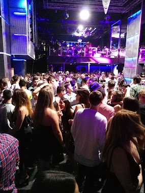
Night club nearby Complejo Roma
Argentina
Night club nearby Complejo Roma
Complejo Roma
Avenida Pellegrini, Rosario, Rosario, AR Argentina
contacts phone
:
+54
Latitude:
-32.9575785
, Longitude:
-60.6383323
larger map & directions
read more
nearest Night club
14 m
Complejo Roma
Avenida Pellegrini 922, Rosario
Night club
read more
392 m
Camiones - Pick Up - Automoviles Norberto Molinaro
Ituzaingo 951, Rosario
Night club
read more
830 m
City Intersecundarios
Maipú 1070, Rosario
Night club
read more
847 m
Salón Celebración
Sarmiento 2315, Rosario
Night club
read more
967 m
Todo Sobre Ruedas
Avenida San Martín 2423, Rosario
Night club
read more
1.006 km
Predio La selección
Colón 1900, S2000FKF
Night club
read more
1.023 km
Colamarino Hernán Gustavo
Rosario
Night club
read more
1.165 km
DADÁ SUMMER CLUB
Laprida 847, Rosario
Night club
read more
1.29 km
marroquineria
San Luis, Rosario
Night club
read more
1.444 km
Volt Bar
410 de, Los Inmigrantes, Rosario
Night club
read more
1.452 km
Ming River House
Avenida de Los Inmigrantes 410, Rosario
Night club
read more
1.512 km
Molinaro Omar Ignacio Automotores
Rosario
Night club
read more
1.538 km
Mister Mambo Salsa de salon
Italia 959-961, Rosario
Night club
read more
1.543 km
La Casa Del Toro
Paraguay 726, Rosario
Night club
read more
1.557 km
Madison Pub
Dorrego 1046, Rosario
Night club
read more
1.625 km
Maria Disco Nigh
S2000ATX, Santa Fe 1580, Rosario
Night club
read more
1.625 km
Maria
Santa Fe 1572, Rosario
Night club
read more
1.714 km
Athipyko
Urquiza 1387, Rosario
Night club
read more
1.734 km
Club Mercury
S2000AMD, Tucumán 1008, Rosario
Night club
read more
1.761 km
Kubrick Bar
Tucumán 1002, Rosario
Night club
read more
1.989 km
Complejo Arrow
Santa Fe 2000, Rosario
Night club
read more
1.996 km
Nissan Centro
Rosario
Night club
read more
2.099 km
Videos Clube
Entre Ríos, Rosario
Night club
read more
2.329 km
Porto Aduana
A Colectora 2663, Rosario
Night club
read more
2.374 km
Acqua Di Marte By Republic
Santa Fe 2398, Rosario
Night club
read more
📑
all categories
Accounting
Administrative area level 1
Administrative area level 2
Airport
Amusement park
Aquarium
Art gallery
Atm
Bakery
Bank
Bar
Beauty salon
Bicycle store
Book store
Bowling alley
Bus station
Cafe
Campground
Car dealer
Car rental
Car repair
Car wash
Casino
Cemetery
Church
City hall
Clothing store
Colloquial area
Convenience store
Country
Courthouse
Dentist
Department store
Doctor
Electrician
Electronics store
Embassy
Establishment
Finance
Fire station
Florist
Food
Funeral home
Furniture store
Gas station
General contractor
Grocery or supermarket
Gym
Hair care
Hardware store
Health
Hindu Temple
Home goods store
Hospital
Insurance agency
Intersection
Jewelry store
Laundry
Lawyer
Library
Light rail station
Liquor store
Local government office
Locality
Locksmith
Lodging
Meal delivery
Meal takeaway
Mosque
Movie rental
Movie theater
Moving company
Museum
Natural feature
Neighborhood
Night club
Painter
Park
Parking
Pet store
Pharmacy
Physiotherapist
Place of worship
Plumber
Point of interest
Police
Political
Post office
Premise
Real estate agency
Restaurant
Roofing contractor
Route
Rv park, camping
School
Shoe store
Shopping mall
Spa
Stadium
Storage
Store
Subpremise
Subway station
Supermarket
Synagogue
Taxi stand
Train station
Transit station
Travel agency
University
Veterinary care
Zoo
sublocality level 1
sublocality level 3
↑