Night club nearby Pizza Zapi
Coronavirus disease (COVID-19) Situation
confirmed cases
10128845
deaths
130841
Argentina
Night club nearby Pizza Zapi
Pizza Zapi
1307, Bulnes, C1176, Comuna 14, Buenos Aires, AR Argentina
contacts phone
:
+54 11 4961-2100
website:
www.pizzaszapi.com
Latitude:
-34.5966
, Longitude:
-58.416854
larger map & directions
read more
nearest Night club
146 m
Eli
Gorriti 3671, C1172ACE
Night club
read more
193 m
El Barvaro
C1177AEU, Jerónimo Salguero 1133, Buenos Aires
Night club
read more
226 m
Arien Clima
José Antonio Cabrera 3752
Night club
read more
409 m
Espejo
Tucumán 3480
Night club
read more
612 m
Orquesta Fernandez Fierro
C1173ABN, Sánchez de Bustamante 764, Buenos Aires
Night club
read more
666 m
Amerika
Gascón 1040
Night club
read more
721 m
Basalbar Jueves
C1187AAQ, Avenida Córdoba 2988
Night club
read more
757 m
Banzano Sa
Avenida Córdoba 2936
Night club
read more
802 m
Club Severino
Guardia Vieja 3360
Night club
read more
808 m
SALAS DE ENSAYO
Mario Bravo 490
Night club
read more
819 m
Azucar Palermo
Avenida Córdoba 4175
Night club
read more
832 m
Afrodita
Avenida Corrientes 3501
Night club
read more
864 m
Picaflor Bailable
Avenida Corrientes 3530
Night club
read more
904 m
Laprida
Laprida 1253
Night club
read more
939 m
casita de los chasquidos
Argañarás 22 C1185
Night club
read more
984 m
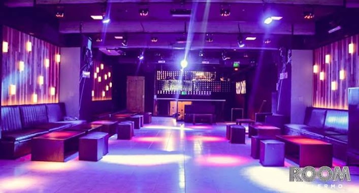
Room
Avenida Raúl Scalabrini Ortíz 1648
Night club
read more
986 m
Simona Viernes
Avenida Raúl Scalabrini Ortíz 1648, C1414DOQ
Night club
read more
1.006 km
Cinnamon's flower
Agüero 449
Night club
read more
1.022 km
Milonga La Puñalada
Sarmiento 4006, C1197AAH
Night club
read more
1.022 km
Porto
Avenida Raúl Scalabrini Ortíz 1434-1452
Night club
read more
1.026 km
Peugeot L'exprés Sa
Francisco Acuña de Figueroa 528
Night club
read more
1.036 km
Nagasaki
Agüero 427
Night club
read more
1.047 km
Dalmalandia
Avenida Santa Fe 2858
Night club
read more
1.252 km
Crazy Night
Armenia 1744
Night club
read more
1.288 km
The Clubhouse
Costa Rica 4651, Buenos Aires
Night club
read more
📑
all categories
Accounting
Administrative area level 1
Administrative area level 2
Airport
Amusement park
Aquarium
Art gallery
Atm
Bakery
Bank
Bar
Beauty salon
Bicycle store
Book store
Bowling alley
Bus station
Cafe
Campground
Car dealer
Car rental
Car repair
Car wash
Casino
Cemetery
Church
City hall
Clothing store
Colloquial area
Convenience store
Country
Courthouse
Dentist
Department store
Doctor
Electrician
Electronics store
Embassy
Establishment
Finance
Fire station
Florist
Food
Funeral home
Furniture store
Gas station
General contractor
Grocery or supermarket
Gym
Hair care
Hardware store
Health
Hindu Temple
Home goods store
Hospital
Insurance agency
Intersection
Jewelry store
Laundry
Lawyer
Library
Light rail station
Liquor store
Local government office
Locality
Locksmith
Lodging
Meal delivery
Meal takeaway
Mosque
Movie rental
Movie theater
Moving company
Museum
Natural feature
Neighborhood
Night club
Painter
Park
Parking
Pet store
Pharmacy
Physiotherapist
Place of worship
Plumber
Point of interest
Police
Political
Post office
Premise
Real estate agency
Restaurant
Roofing contractor
Route
Rv park, camping
School
Shoe store
Shopping mall
Spa
Stadium
Storage
Store
Subpremise
Subway station
Supermarket
Synagogue
Taxi stand
Train station
Transit station
Travel agency
University
Veterinary care
Zoo
sublocality level 1
sublocality level 3
↑