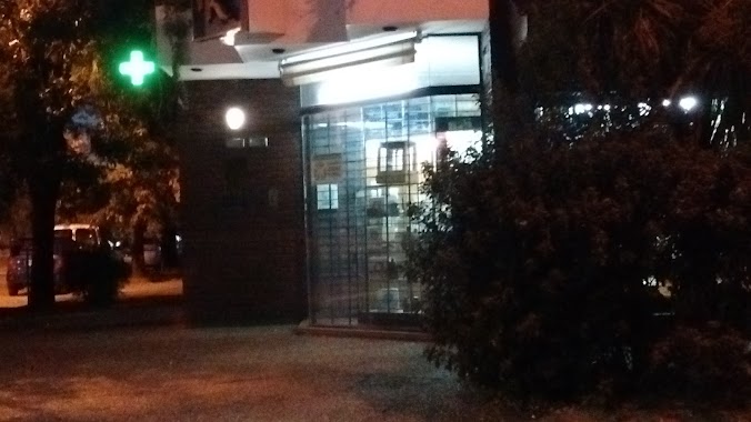
Pharmacy nearby Farmacia Segura
Argentina
Pharmacy nearby Farmacia Segura
Farmacia Segura
1293, Calle Mariano Moreno, B1622, Luján, Luján, AR Argentinien
contacts phone
:
+54 2323 42-1783
website:
www.sololujan.com.ar
Latitude:
-34.569404
, Longitude:
-59.115342
larger map & directions
read more
nearest Pharmacy
23 m
Segura Hernan
B6700CTQ, Mariano Moreno 1291, Luján
Pharmacy
read more
142 m
Farmacia Bouvier
Luján
Pharmacy
read more
246 m
Farmacia Wolter
General las Heras 777, Luján
Pharmacy
read more
255 m
Farmacia Mitre
Luján
Pharmacy
read more
258 m
Farmacia Múgica
Luján
Pharmacy
read more
294 m
Farmacia Ideal
Luján
Pharmacy
read more
358 m
Farmacia Roncoroni de Alicia L Vanni
Doctor Muñiz 361, Luján
Pharmacy
read more
418 m
Farmacia Galeno de Lujan
San Martín 696, Luján
Pharmacy
read more
444 m
''Rolla''
San Martín 482, Luján
Pharmacy
read more
462 m
Farmacia Guarco
España 904, Gran Buenos Aires
Pharmacy
read more
558 m
Farmacia y Perfumeria Muñiz Scs
Sarmiento 1405, Luján
Pharmacy
read more
619 m
Farmacia San Martin de Lujan
San Martín 246, Luján
Pharmacy
read more
619 m
Farmacia Negri
B Mitre 171, Luján
Pharmacy
read more
622 m
Farmacia
Luján
Pharmacy
read more
673 m
Farmacia Muñiz
Luján
Pharmacy
read more
692 m
Farmacia Zeman
Luján
Pharmacy
read more
706 m
Farmacia El Centenario
B6700DCL, Sarmiento 996, Luján
Pharmacy
read more
718 m
Del Bicentenario Farmacia
San Martín 1008, Luján
Pharmacy
read more
758 m
Farmacia Banchero
Luján
Pharmacy
read more
831 m
Farmacia Peretto
25 de Mayo 220, Gran Buenos Aires
Pharmacy
read more
850 m
Farmacia Rovetta
Almirante Brown 402, Luján
Pharmacy
read more
865 m
Farmacia Natalini
Luján
Pharmacy
read more
874 m
Farmacia Robiano
Humberto Primo 701, Luján
Pharmacy
read more
993 m
Farmacia Di Gesu
Argentina
Pharmacy
read more
1.108 km
Farmacia Montone
Doctor Real 1013, Luján
Pharmacy
read more
📑
all categories
Accounting
Administrative area level 1
Administrative area level 2
Airport
Amusement park
Aquarium
Art gallery
Atm
Bakery
Bank
Bar
Beauty salon
Bicycle store
Book store
Bowling alley
Bus station
Cafe
Campground
Car dealer
Car rental
Car repair
Car wash
Casino
Cemetery
Church
City hall
Clothing store
Colloquial area
Convenience store
Country
Courthouse
Dentist
Department store
Doctor
Electrician
Electronics store
Embassy
Establishment
Finance
Fire station
Florist
Food
Funeral home
Furniture store
Gas station
General contractor
Grocery or supermarket
Gym
Hair care
Hardware store
Health
Hindu Temple
Home goods store
Hospital
Insurance agency
Intersection
Jewelry store
Laundry
Lawyer
Library
Light rail station
Liquor store
Local government office
Locality
Locksmith
Lodging
Meal delivery
Meal takeaway
Mosque
Movie rental
Movie theater
Moving company
Museum
Natural feature
Neighborhood
Night club
Painter
Park
Parking
Pet store
Pharmacy
Physiotherapist
Place of worship
Plumber
Point of interest
Police
Political
Post office
Premise
Real estate agency
Restaurant
Roofing contractor
Route
Rv park, camping
School
Shoe store
Shopping mall
Spa
Stadium
Storage
Store
Subpremise
Subway station
Supermarket
Synagogue
Taxi stand
Train station
Transit station
Travel agency
University
Veterinary care
Zoo
sublocality level 1
sublocality level 3
↑