Pharmacy nearby Farmacity
Coronavirus disease (COVID-19) Situation
confirmed cases
10128845
deaths
130841
Argentina
Pharmacy nearby Farmacity
Farmacity
539, Avenida Pueyrredón, C1032, Ciudad Autonoma de Buenos Aires, Comuna 3, AR Argentina
contacts phone
:
+54 11 4962-1871
website:
www.farmacity.com.ar
Latitude:
-34.6040783
, Longitude:
-58.4051855
larger map & directions
read more
nearest Pharmacy
373 m
Farmacia Viafar
Viamonte 2661
Pharmacy
read more
454 m
Farmacia Cangallo 2598 Sce
Presidente Teniente General Juan Domingo Perón 1300
Pharmacy
read more
463 m
Farmacity
Avenida Corrientes 2345
Pharmacy
read more
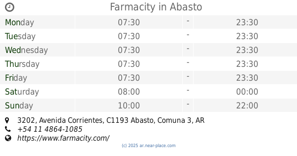
505 m
Farmacity
Avenida Corrientes 3202, Abasto
Pharmacy
read more
514 m
Farmacity S.A.
Avenida Corrientes 3202
Pharmacy
read more
613 m
Farmacity
Avenida Pueyrredón 991
Pharmacy
read more
627 m
D & R Medical Depot Sa
Avenida Córdoba 2435
Pharmacy
read more
642 m
Rex Pharmacy SRL
Av. Córdoba 2401
Pharmacy
read more
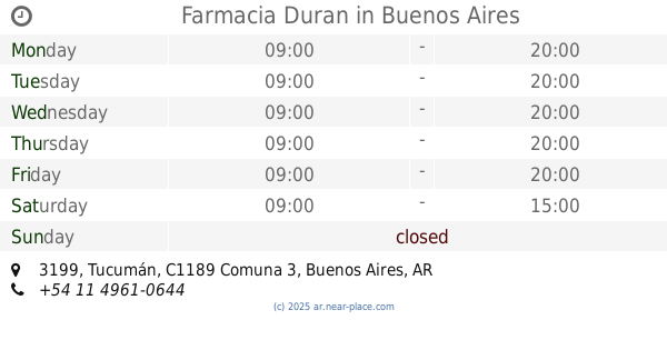
646 m
Farmacia Duran
Tucumán 3199
Pharmacy
read more
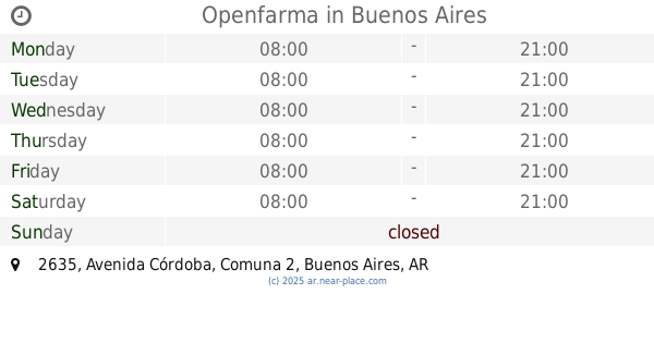
688 m
Openfarma
Avenida Córdoba 2635
Pharmacy
read more
711 m
Farmacia Rivadavia 2463
Avenida Rivadavia 2463
Pharmacy
read more
740 m
Farmacias Argentinas
Avenida Jujuy 40
Pharmacy
read more
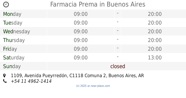
754 m
Farmacia Prema
Avenida Pueyrredón 1109
Pharmacy
read more
767 m
Pharma Health
Paraguay 2332
Pharmacy
read more
771 m
FARMACIA CASTAGNA
Tucumán
Pharmacy
read more
807 m
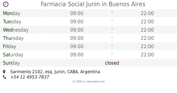
Farmacia Social Junin
Sarmiento 2102, esq. Junin
Pharmacy
read more
814 m
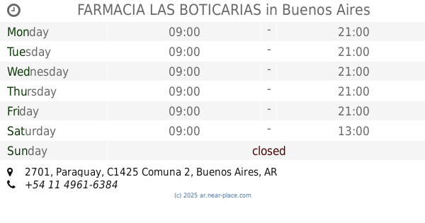
FARMACIA LAS BOTICARIAS
Paraguay 2701
Pharmacy
read more
896 m
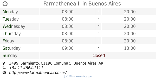
Farmathenea II
Sarmiento 3499
Pharmacy
read more
901 m
Farmacia Politi - Polifarm SRL
Marcelo Torcuato de Alvear 2408
Pharmacy
read more
902 m
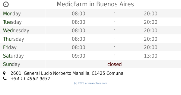
MedicFarm
General Lucio Norberto Mansilla 2601
Pharmacy
read more
929 m
Herborística
Adolfo Alsina 2859
Pharmacy
read more
938 m
Farmacia MISIONES 2700
Adolfo Alsina 2700
Pharmacy
read more
944 m
Alsina Farmacia Herboristeria
Adolfo Alsina 2842
Pharmacy
read more
955 m
Droven Farm Srl
Avenida Jujuy 218
Pharmacy
read more
1.099 km
TKL
Marcelo Torcuato de Alvear 2045
Pharmacy
read more
📑
all categories
Accounting
Administrative area level 1
Administrative area level 2
Airport
Amusement park
Aquarium
Art gallery
Atm
Bakery
Bank
Bar
Beauty salon
Bicycle store
Book store
Bowling alley
Bus station
Cafe
Campground
Car dealer
Car rental
Car repair
Car wash
Casino
Cemetery
Church
City hall
Clothing store
Colloquial area
Convenience store
Country
Courthouse
Dentist
Department store
Doctor
Electrician
Electronics store
Embassy
Establishment
Finance
Fire station
Florist
Food
Funeral home
Furniture store
Gas station
General contractor
Grocery or supermarket
Gym
Hair care
Hardware store
Health
Hindu Temple
Home goods store
Hospital
Insurance agency
Intersection
Jewelry store
Laundry
Lawyer
Library
Light rail station
Liquor store
Local government office
Locality
Locksmith
Lodging
Meal delivery
Meal takeaway
Mosque
Movie rental
Movie theater
Moving company
Museum
Natural feature
Neighborhood
Night club
Painter
Park
Parking
Pet store
Pharmacy
Physiotherapist
Place of worship
Plumber
Point of interest
Police
Political
Post office
Premise
Real estate agency
Restaurant
Roofing contractor
Route
Rv park, camping
School
Shoe store
Shopping mall
Spa
Stadium
Storage
Store
Subpremise
Subway station
Supermarket
Synagogue
Taxi stand
Train station
Transit station
Travel agency
University
Veterinary care
Zoo
sublocality level 1
sublocality level 3
↑