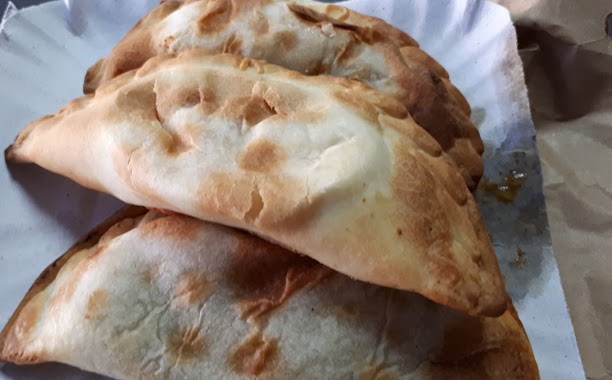
Restaurant nearby La Empanadería
Coronavirus disease (COVID-19) Situation
confirmed cases
10128845
deaths
130841
Argentina
Restaurant nearby La Empanadería
La Empanadería
Bartolomé Mitre, C1039, Comuna 3, Buenos Aires, AR Argentina
contacts phone
:
+54 11 2052-4075
Latitude:
-34.6079638
, Longitude:
-58.3933769
larger map & directions
read more
nearest Restaurant
270 m
El Trigal
Avenida Rivadavia 1715
Restaurant
read more
289 m
Canton
Combate de los Pozos 120
Restaurant
read more
295 m
Memorias
Presidente Teniente General Juan Domingo Perón 1699
Restaurant
read more
310 m
Fábrica de Pizzas Nuevos Dueños
9, ABA, Junín
Restaurant
read more
357 m
Prosciutto Ristorante
Junín 283
Restaurant
read more
373 m
Sherry
Montevideo 104
Restaurant
read more
376 m
la santina
km 151, Ruta 9
Restaurant
read more
376 m
Pizzería Moscato
Avenida Corrientes 1934
Restaurant
read more
385 m
UGI´S
Avenida Rivadavia 2178
Restaurant
read more
434 m
Vodevil
Av. Corrientes 1660, Local 8
Restaurant
read more
549 m
El Patio
Montevideo 387
Restaurant
read more
555 m
Atenea
Avenida Rivadavia 2300
Restaurant
read more
600 m
La Galleguita
Solís 308
Restaurant
read more
642 m
Vos y Yo
Moreno 1599
Restaurant
read more
703 m
Parilla San Remo
Uruguay 321
Restaurant
read more
769 m
Pizzería el ancho
AAG, Tucumán 1609
Restaurant
read more
820 m
La Brochette
ABJ, Venezuela 2002
Restaurant
read more
877 m
Crepes & Salafs
Santiago del Estero
Restaurant
read more
938 m
Febo Express
Avenida Rivadavia 2602
Restaurant
read more
959 m
Pancho Gourmet
Uriburu 726
Restaurant
read more
1.017 km
Subway
Corrientes 4646
Restaurant
read more
1.041 km
Diagonal SRL
Lavalle 1202
Restaurant
read more
1.08 km
Revire Brasas Bravas
Avenida Corrientes 1124
Restaurant
read more
1.133 km
EPA LA AREPA Bs. As.
Avenida Córdoba 1415
Restaurant
read more
1.143 km
Le Famiglie
Salta 440
Restaurant
read more
📑
all categories
Accounting
Administrative area level 1
Administrative area level 2
Airport
Amusement park
Aquarium
Art gallery
Atm
Bakery
Bank
Bar
Beauty salon
Bicycle store
Book store
Bowling alley
Bus station
Cafe
Campground
Car dealer
Car rental
Car repair
Car wash
Casino
Cemetery
Church
City hall
Clothing store
Colloquial area
Convenience store
Country
Courthouse
Dentist
Department store
Doctor
Electrician
Electronics store
Embassy
Establishment
Finance
Fire station
Florist
Food
Funeral home
Furniture store
Gas station
General contractor
Grocery or supermarket
Gym
Hair care
Hardware store
Health
Hindu Temple
Home goods store
Hospital
Insurance agency
Intersection
Jewelry store
Laundry
Lawyer
Library
Light rail station
Liquor store
Local government office
Locality
Locksmith
Lodging
Meal delivery
Meal takeaway
Mosque
Movie rental
Movie theater
Moving company
Museum
Natural feature
Neighborhood
Night club
Painter
Park
Parking
Pet store
Pharmacy
Physiotherapist
Place of worship
Plumber
Point of interest
Police
Political
Post office
Premise
Real estate agency
Restaurant
Roofing contractor
Route
Rv park, camping
School
Shoe store
Shopping mall
Spa
Stadium
Storage
Store
Subpremise
Subway station
Supermarket
Synagogue
Taxi stand
Train station
Transit station
Travel agency
University
Veterinary care
Zoo
sublocality level 1
sublocality level 3
↑