Restaurant nearby Restaurant Los Riojanos
Argentina
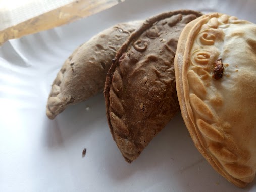
Restaurant nearby Restaurant Los Riojanos
Restaurant Los Riojanos
694, Avenida Chorroarín, C1427, Comuna 15, Buenos Aires, AR Argentina
contacts phone
:
+54 11 4522-1292
Latitude:
-34.5892229
, Longitude:
-58.473265
larger map & directions
read more
nearest Restaurant
242 m
Pizza Pietro
Quirós 2894
Restaurant
read more
411 m
Peña Forja
Llerena
Restaurant
read more
448 m
Delicias Nancy
Avenida del Campo 1406
Restaurant
read more
526 m
La Cocina de Mary
Estomba 321
Restaurant
read more
581 m
El Raconet
Arismendi 2682
Restaurant
read more
587 m
X
Acceso A Chorroarín 3400
Restaurant
read more
606 m
La Tía Meche
Bauness 1302
Restaurant
read more
667 m
La Trattoria Pizzas - Empanadas - Comidas
Estomba 506
Restaurant
read more
687 m
La Rueda del Combatiente
Combatientes de Malvinas 3224
Restaurant
read more
692 m
Sushi
Mariano Acha 1057
Restaurant
read more
747 m
Su Casa
Avenida de los Incas 4741
Restaurant
read more
769 m
El Arbolito
Avenida Triunvirato 3300
Restaurant
read more
831 m
ALLEGRO GELATO BOUTIQUE
DNK, Avenida de los Incas 4599
Restaurant
read more
844 m
Zori
Fraga 1800
Restaurant
read more
900 m
Rincon Jumbo
Guevara 1583, C1427BSL
Restaurant
read more
907 m
Epa la Arepa Express
C1427BWO, Roseti 2075
Restaurant
read more
933 m
Keops
Gándara 2699
Restaurant
read more
942 m
Rincón Incas
Avenida de los Incas 4399
Restaurant
read more
956 m
Amocha Y Amocho #La Parrillaza
Avenida Warnes 2702, C1427DPT
Restaurant
read more
966 m
Heladerialaveneciana
Avenida de los Incas 4334, Buenos Aires
Restaurant
read more
990 m
Parrilla 4 Hermanos
Charlone 2199
Restaurant
read more
990 m
los palitos
Charlone 2187
Restaurant
read more
1.025 km
YA! Empanadas
Avenida Triunvirato 2899
Restaurant
read more
1.359 km
Fuerte Al Medio
C1417FQA, Baigorria 2325
Restaurant
read more
1.361 km
Parrilla
C1417FQB, Baigorria 2325
Restaurant
read more
📑
all categories
Accounting
Administrative area level 1
Administrative area level 2
Airport
Amusement park
Aquarium
Art gallery
Atm
Bakery
Bank
Bar
Beauty salon
Bicycle store
Book store
Bowling alley
Bus station
Cafe
Campground
Car dealer
Car rental
Car repair
Car wash
Casino
Cemetery
Church
City hall
Clothing store
Colloquial area
Convenience store
Country
Courthouse
Dentist
Department store
Doctor
Electrician
Electronics store
Embassy
Establishment
Finance
Fire station
Florist
Food
Funeral home
Furniture store
Gas station
General contractor
Grocery or supermarket
Gym
Hair care
Hardware store
Health
Hindu Temple
Home goods store
Hospital
Insurance agency
Intersection
Jewelry store
Laundry
Lawyer
Library
Light rail station
Liquor store
Local government office
Locality
Locksmith
Lodging
Meal delivery
Meal takeaway
Mosque
Movie rental
Movie theater
Moving company
Museum
Natural feature
Neighborhood
Night club
Painter
Park
Parking
Pet store
Pharmacy
Physiotherapist
Place of worship
Plumber
Point of interest
Police
Political
Post office
Premise
Real estate agency
Restaurant
Roofing contractor
Route
Rv park, camping
School
Shoe store
Shopping mall
Spa
Stadium
Storage
Store
Subpremise
Subway station
Supermarket
Synagogue
Taxi stand
Train station
Transit station
Travel agency
University
Veterinary care
Zoo
sublocality level 1
sublocality level 3
↑