School nearby Noc
Argentina
School nearby Noc
Noc
Uspallata 1198-1100, B1722EID, B1722EID Merlo, Buenos Aires, Argentina
contacts phone
:
+54 11 5037-7544
Latitude:
-34.6885669
, Longitude:
-58.712734
larger map & directions
read more
nearest School
137 m
EPB N°19
B1722EHL, Sucre 1250, Merlo
School
read more
137 m
Escuela EP N'19/ES N'35
B1722EHL, Sucre 1250, Merlo
School
read more
148 m
E E S N° 35 MERLO
Merlo
School
read more
150 m
EES N° 35
Mariscal Antonio José de Sucre, Marcos Sastre y, Merlo
School
read more
155 m
Carlos Ortiz 1247
Carlos Ortiz 1247, Merlo
School
read more
198 m
Jardín de Infantes N919 Los Pinguinos
B1722EGO, Marcos Sastre 1199-1299, Merlo
School
read more
540 m
Escuelas Primaria
B1722LSU, Díaz de Solís 1799-1849, Merlo
School
read more
710 m
Escuela Secundaria Basica N° 55
Parque San Martín
School
read more
733 m
School No. 62
Pizurno 2399-2499, Merlo
School
read more
733 m
School No. 62
Pizzurno 2399-2499, Merlo
School
read more
733 m
Escuela N° 62
Pizzurno 2399-2499, Merlo
School
read more
833 m
Jardin De Infantes 904 Tamborcito De Tacuarí
Francisco Ramírez 498, Merlo
School
read more
860 m
Colegio Jacaranda
Pico 537, Merlo
School
read more
865 m
Colegio de Farmaceuticos de Merlo
San Martín 1560, Merlo
School
read more
904 m
Borges
Yapeyú 1099, Merlo
School
read more
917 m
Asociacion Coop Jardin de Infantes 901
Quintana 1350, Merlo
School
read more
929 m
Jardin 943
Juan B. Justo, Merlo
School
read more
940 m
Grupo Scout Ángel Lagomarsino
Merlo
School
read more
943 m
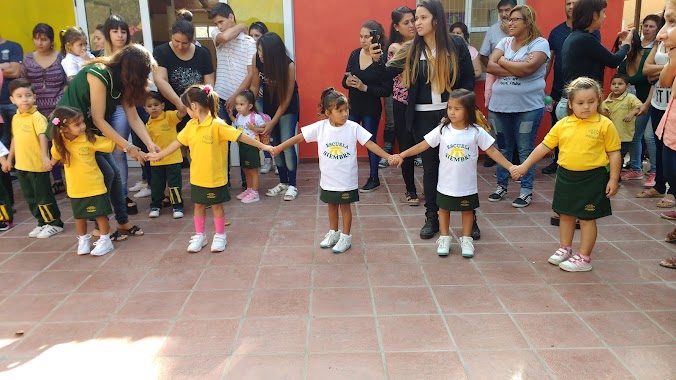
Escuela Siembra
Balbastro 1769, Merlo
School
read more
946 m
Federico Zorraquin school N 30
B1721KBL, Coronel Pagola 500-598, Merlo
School
read more
980 m
ESCUELA PRIMARIA Nº30 "FEDERICO JOSE ZORRAQUIN"
B1721KBK, Coronel Pagola 795, Merlo
School
read more
980 m
Voto Y Presidencia Carolina
B1721KBK, Coronel Pagola 795, Merlo
School
read more
1.189 km
Jardin 920
Larrañaga, Merlo
School
read more
1.298 km
Escuela Secundaria N 101
Libertad
School
read more
1.311 km
Escuela 10
Libertad
School
read more
📑
all categories
Accounting
Administrative area level 1
Administrative area level 2
Airport
Amusement park
Aquarium
Art gallery
Atm
Bakery
Bank
Bar
Beauty salon
Bicycle store
Book store
Bowling alley
Bus station
Cafe
Campground
Car dealer
Car rental
Car repair
Car wash
Casino
Cemetery
Church
City hall
Clothing store
Colloquial area
Convenience store
Country
Courthouse
Dentist
Department store
Doctor
Electrician
Electronics store
Embassy
Establishment
Finance
Fire station
Florist
Food
Funeral home
Furniture store
Gas station
General contractor
Grocery or supermarket
Gym
Hair care
Hardware store
Health
Hindu Temple
Home goods store
Hospital
Insurance agency
Intersection
Jewelry store
Laundry
Lawyer
Library
Light rail station
Liquor store
Local government office
Locality
Locksmith
Lodging
Meal delivery
Meal takeaway
Mosque
Movie rental
Movie theater
Moving company
Museum
Natural feature
Neighborhood
Night club
Painter
Park
Parking
Pet store
Pharmacy
Physiotherapist
Place of worship
Plumber
Point of interest
Police
Political
Post office
Premise
Real estate agency
Restaurant
Roofing contractor
Route
Rv park, camping
School
Shoe store
Shopping mall
Spa
Stadium
Storage
Store
Subpremise
Subway station
Supermarket
Synagogue
Taxi stand
Train station
Transit station
Travel agency
University
Veterinary care
Zoo
sublocality level 1
sublocality level 3
↑