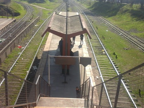
Train station nearby Estación Retiro
Coronavirus disease (COVID-19) Situation
confirmed cases
10128845
deaths
130841
Argentina
Train station nearby Estación Retiro
Estación Retiro
1430, Avenida Doctor José María Ramos Mejía, 1104, Comuna 1, Buenos Aires, AR Argentyna
contacts phone
:
+54
website:
www.trenesargentinos.gob.ar
Latitude:
-34.590509
, Longitude:
-58.3760612
larger map & directions
read more
nearest Train station
2.721 km
Saldías
Argentina
Train station
read more
3.459 km
Estación Once
Argentina
Train station
read more
4.812 km
Palermo
Argentina
Train station
read more
4.934 km
Estacióń 3 de Febrero
Argentina
Train station
read more
6.284 km
Lisandro de la Torre
Argentina
Train station
read more
6.887 km
Colegiales
Av Federico Lacroze 2800, Colegiales
Train station
read more
7.646 km
Belgrano C.
Argentina
Train station
read more
7.904 km
Estación Belgrano R - Tren Mitre
-1799 C1426ASA, Carlos E. Zuberbuhler 1701, Buenos Aires
Train station
read more
7.933 km
Darío y Maxi
Avenida Presidente Hipólito Yrigoyen 400, Avellaneda
Train station
read more
8.284 km
José Artigas
Argentina
Train station
read more
8.373 km
La Paternal
Buenos Aires, Argentina
Train station
read more
9.175 km
Flores
Argentina
Train station
read more
10.709 km
Floresta
Argentina
Train station
read more
10.817 km
Dr. Fco. Beiro
Argentina
Train station
read more
10.963 km
LINEA SAN MARTIN Villa del Parque
Cuenca
Train station
read more
11.179 km
V. Diamante
Argentina
Train station
read more
11.623 km
El Libertador
Argentina
Train station
read more
13.356 km
Av. Maipú
Argentina
Train station
read more
13.603 km
Coronel F. Lynch
Train station
read more
13.787 km
Libertador
Argentina
Train station
read more
14.882 km
Villa Madero
Argentina
Train station
read more
17.558 km
Tapiales
Los Nogales 1389, Tapiales
Train station
read more
17.818 km
De Elía
Argentina
Train station
read more
17.846 km
Ing. Castello
Argentina
Train station
read more
20.364 km
Querandí
Argentina
Train station
read more
📑
all categories
Accounting
Administrative area level 1
Administrative area level 2
Airport
Amusement park
Aquarium
Art gallery
Atm
Bakery
Bank
Bar
Beauty salon
Bicycle store
Book store
Bowling alley
Bus station
Cafe
Campground
Car dealer
Car rental
Car repair
Car wash
Casino
Cemetery
Church
City hall
Clothing store
Colloquial area
Convenience store
Country
Courthouse
Dentist
Department store
Doctor
Electrician
Electronics store
Embassy
Establishment
Finance
Fire station
Florist
Food
Funeral home
Furniture store
Gas station
General contractor
Grocery or supermarket
Gym
Hair care
Hardware store
Health
Hindu Temple
Home goods store
Hospital
Insurance agency
Intersection
Jewelry store
Laundry
Lawyer
Library
Light rail station
Liquor store
Local government office
Locality
Locksmith
Lodging
Meal delivery
Meal takeaway
Mosque
Movie rental
Movie theater
Moving company
Museum
Natural feature
Neighborhood
Night club
Painter
Park
Parking
Pet store
Pharmacy
Physiotherapist
Place of worship
Plumber
Point of interest
Police
Political
Post office
Premise
Real estate agency
Restaurant
Roofing contractor
Route
Rv park, camping
School
Shoe store
Shopping mall
Spa
Stadium
Storage
Store
Subpremise
Subway station
Supermarket
Synagogue
Taxi stand
Train station
Transit station
Travel agency
University
Veterinary care
Zoo
sublocality level 1
sublocality level 3
↑