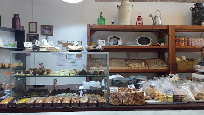
Bakery nearby Gustado's
Argentina
Bakery nearby Gustado's
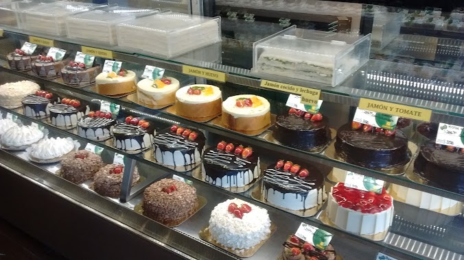
Gustado's
1731, Avenida Gaona, C1416, Comuna 6, Buenos Aires, AR Argentina
contacts phone
:
+54 45841109
Latitude:
-34.6107777
, Longitude:
-58.4527652
larger map & directions
read more
nearest Bakery
82 m
Panadería y Confitería LNS La Nueva Superiora
Avenida Gaona 1799
Bakery
read more
325 m
Panaderia Zoe
Cucha Cucha 997
Bakery
read more
459 m
La Victoriosa • Panadería Cafetería y Comidas
Doctor Nicolás Repetto 1300
Bakery
read more
460 m
La Victoriosa
C1416DPF, Coronel Apolinario Figueroa 786-800
Bakery
read more
477 m
Flavors Catering Amshulí
Doctor Nicolás Repetto 1303
Bakery
read more
544 m
Princess • Confectionery Bakery
Avenida San Martín 1663
Bakery
read more
630 m
La Môme CONFITERÍA
Avenida San Martín 1228
Bakery
read more
694 m
La Boutique PANADERIA
981, Doctor Luis Beláustegui
Bakery
read more
760 m
Isolda
Avenida Teniente General Donato Álvarez 942
Bakery
read more
775 m
Las Delicias
Avenida San Martín 2096
Bakery
read more
788 m
La Nueva Esquina
Neuquén 1001
Bakery
read more
848 m
MARROCO'S II
Avenida Doctor Honorio Pueyrredón 846
Bakery
read more
866 m
Insúa PANADERIA Y CONFITERIA
Av Tte. General Donato Alvarez 1552
Bakery
read more
875 m
El modelo
Franklin 756
Bakery
read more
900 m
Hortensia Tienda de Pan
Avenida Teniente General Donato Álvarez 645
Bakery
read more
954 m
Panadería Núñez, Catalina
Av Tte. General Donato Alvarez 1689
Bakery
read more
969 m
The grandfather Medialunas
Avenida San Martín 2292
Bakery
read more
969 m
Las Medialunas del Abuelo
Avenida San Martín 2292
Bakery
read more
972 m
Costumbres Argentinas
Avenida San Martín 2283
Bakery
read more
984 m
Amarena
Avenida Doctor Honorio Pueyrredón 672
Bakery
read more
1.066 km
Pasta y Pane
Avenida San Martín 2339
Bakery
read more
1.067 km
Legide Josefina E
Neuquén 2056
Bakery
read more
1.112 km
Manjar Porteño
Bakery
read more
1.163 km
PANADERÍA CONFITERÍA La Ideal
Espinosa 2055
Bakery
read more
1.338 km
Tutto Pane
Rojas 123
Bakery
read more
📑
all categories
Accounting
Administrative area level 1
Administrative area level 2
Airport
Amusement park
Aquarium
Art gallery
Atm
Bakery
Bank
Bar
Beauty salon
Bicycle store
Book store
Bowling alley
Bus station
Cafe
Campground
Car dealer
Car rental
Car repair
Car wash
Casino
Cemetery
Church
City hall
Clothing store
Colloquial area
Convenience store
Country
Courthouse
Dentist
Department store
Doctor
Electrician
Electronics store
Embassy
Establishment
Finance
Fire station
Florist
Food
Funeral home
Furniture store
Gas station
General contractor
Grocery or supermarket
Gym
Hair care
Hardware store
Health
Hindu Temple
Home goods store
Hospital
Insurance agency
Intersection
Jewelry store
Laundry
Lawyer
Library
Light rail station
Liquor store
Local government office
Locality
Locksmith
Lodging
Meal delivery
Meal takeaway
Mosque
Movie rental
Movie theater
Moving company
Museum
Natural feature
Neighborhood
Night club
Painter
Park
Parking
Pet store
Pharmacy
Physiotherapist
Place of worship
Plumber
Point of interest
Police
Political
Post office
Premise
Real estate agency
Restaurant
Roofing contractor
Route
Rv park, camping
School
Shoe store
Shopping mall
Spa
Stadium
Storage
Store
Subpremise
Subway station
Supermarket
Synagogue
Taxi stand
Train station
Transit station
Travel agency
University
Veterinary care
Zoo
sublocality level 1
sublocality level 3
↑