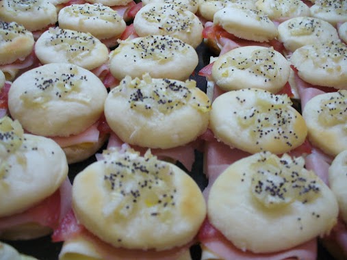
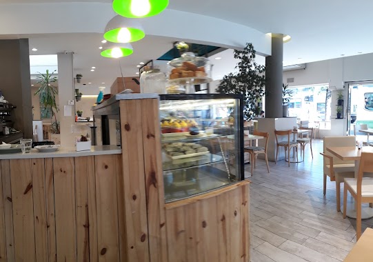
Bakery nearby Naranjo & Flor
Argentina
Bakery nearby Naranjo & Flor
Naranjo & Flor
797, Bulnes, C1176, Comuna 5, Buenos Aires, AR Argentina
contacts phone
:
+54 11 4863-4972
Latitude:
-34.602305
, Longitude:
-58.417789
larger map & directions
read more
nearest Bakery
247 m
Lorenzo Panadería & Patisserie
Jerónimo Salguero 572, Buenos Aires
Bakery
read more
340 m
Panadería y Confitería Plaza Almagro
Jerónimo Salguero 506
Bakery
read more
372 m
Panadería Nadiara
Avenida Medrano 889
Bakery
read more
418 m
Panadería Lorenzo
Avenida Medrano 921
Bakery
read more
455 m
Bon Haus
Humahuaca 4123
Bakery
read more
512 m
Confectionery & Bakery Boulevard Cordoba
Avenida Córdoba 3502
Bakery
read more
546 m
La Princesa S.R.L.
Presidente Teniente General Juan Domingo Perón 3500
Bakery
read more
600 m
Bakery & Confectionery La Lucila
Presidente Teniente General Juan Domingo Perón 3997
Bakery
read more
600 m
La Lucila
Presidente Teniente General Juan Domingo Perón 3997
Bakery
read more
609 m
Re-Miga Confitería
Avenida Corrientes 4216
Bakery
read more
705 m
Confitería Ceres
Avenida Córdoba 3979
Bakery
read more
715 m
La Fábrica
Gascón 1100
Bakery
read more
776 m
Vicente Juan C
Estado de Palestina 622
Bakery
read more
847 m
Lo de Matheo
Billinghurst 1220
Bakery
read more
850 m
Qué Delicias
Avenida Díaz Vélez 3990
Bakery
read more
912 m
Petit Bombon
Billinghurst 1298
Bakery
read more
921 m
Costumbres Argentinas
Avenida Corrientes 3020
Bakery
read more
926 m
El Sol Panaderia
Billinghurst 22
Bakery
read more
971 m
Le Ble
Honduras 4109
Bakery
read more
998 m
Whoopies
Avenida Corrientes 4508
Bakery
read more
1.04 km
Las Medialunas del Abuelo
Laprida 1062
Bakery
read more
1.127 km
El cañón porteño
Lavalleja 1094
Bakery
read more
1.127 km
Lara
Lavalleja 1094
Bakery
read more
1.139 km
Cruz Raúl
24 de Noviembre 62
Bakery
read more
1.191 km
Olten
Julián Álvarez
Bakery
read more
📑
all categories
Accounting
Administrative area level 1
Administrative area level 2
Airport
Amusement park
Aquarium
Art gallery
Atm
Bakery
Bank
Bar
Beauty salon
Bicycle store
Book store
Bowling alley
Bus station
Cafe
Campground
Car dealer
Car rental
Car repair
Car wash
Casino
Cemetery
Church
City hall
Clothing store
Colloquial area
Convenience store
Country
Courthouse
Dentist
Department store
Doctor
Electrician
Electronics store
Embassy
Establishment
Finance
Fire station
Florist
Food
Funeral home
Furniture store
Gas station
General contractor
Grocery or supermarket
Gym
Hair care
Hardware store
Health
Hindu Temple
Home goods store
Hospital
Insurance agency
Intersection
Jewelry store
Laundry
Lawyer
Library
Light rail station
Liquor store
Local government office
Locality
Locksmith
Lodging
Meal delivery
Meal takeaway
Mosque
Movie rental
Movie theater
Moving company
Museum
Natural feature
Neighborhood
Night club
Painter
Park
Parking
Pet store
Pharmacy
Physiotherapist
Place of worship
Plumber
Point of interest
Police
Political
Post office
Premise
Real estate agency
Restaurant
Roofing contractor
Route
Rv park, camping
School
Shoe store
Shopping mall
Spa
Stadium
Storage
Store
Subpremise
Subway station
Supermarket
Synagogue
Taxi stand
Train station
Transit station
Travel agency
University
Veterinary care
Zoo
sublocality level 1
sublocality level 3
↑