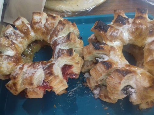
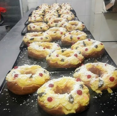
Bakery nearby Panadería La Siciliana
Argentina
Bakery nearby Panadería La Siciliana
Panadería La Siciliana
1671, Bahía Blanca, C1407, Comuna 10, Buenos Aires, AR Argentina
contacts phone
:
+54
Latitude:
-34.6186621
, Longitude:
-58.492138
larger map & directions
read more
nearest Bakery
323 m
TRIANNA
Emilio Lamarca 1669
Bakery
read more
501 m
MINIMERCADO BABSY
Camarones 4305
Bakery
read more
517 m
Panadería y Confitería La Nueva Orquídea
Emilio Lamarca 1945
Bakery
read more
580 m
Sandwichería Guada
Miranda 3601
Bakery
read more
593 m
Panaderia
Emilio Lamarca 1300, 1407
Bakery
read more
616 m
Entre Aromas
Avenida Segurola 1496
Bakery
read more
651 m
Pausiempre
Avenida Segurola 1616
Bakery
read more
695 m
Rosa Blanca
Avenida Álvarez Jonte 4212
Bakery
read more
714 m
Confiteria Don Gatti
Avenida Segurola 1168
Bakery
read more
754 m
El Buen Sabor
Avenida Segurola 1132
Bakery
read more
834 m
L' Mateur
Cuenca 1756
Bakery
read more
860 m
La Veloz del Sur
Avenida Segurola 1934
Bakery
read more
864 m
panaderia y confiteria Rodrigo
Avenida Segurola 1936
Bakery
read more
921 m
El Caserito
Sanabria 2197
Bakery
read more
939 m
LA ESQUINA DEL SOL
Cuenca 1401
Bakery
read more
985 m
La Fábrica
Avenida Gaona 4701, Buenos Aires
Bakery
read more
993 m
PANADERIA Y CONFITERIA San Cayetano
Marcos Paz 2006
Bakery
read more
1.051 km
León Bon Bon
FAA, Avenida Juan Bautista Justo 6249
Bakery
read more
1.052 km
PANADERÍA La Florida II
Avenida Gaona 4227
Bakery
read more
1.136 km
JULY 9TH
Argerich 2078
Bakery
read more
1.164 km
Panaderia Eze Pancito
Bermúdez 1400
Bakery
read more
1.255 km
PAMPA BLANCA
Avenida Nazca 1998
Bakery
read more
1.291 km
LAS MEDIALUNAS DEL ABUELO
Avenida Nazca 2033
Bakery
read more
1.302 km
La Nonna
Avenida Nazca 2049
Bakery
read more
1.315 km
Panadería La Dulce Rona
Avenida Nazca 2129
Bakery
read more
📑
all categories
Accounting
Administrative area level 1
Administrative area level 2
Airport
Amusement park
Aquarium
Art gallery
Atm
Bakery
Bank
Bar
Beauty salon
Bicycle store
Book store
Bowling alley
Bus station
Cafe
Campground
Car dealer
Car rental
Car repair
Car wash
Casino
Cemetery
Church
City hall
Clothing store
Colloquial area
Convenience store
Country
Courthouse
Dentist
Department store
Doctor
Electrician
Electronics store
Embassy
Establishment
Finance
Fire station
Florist
Food
Funeral home
Furniture store
Gas station
General contractor
Grocery or supermarket
Gym
Hair care
Hardware store
Health
Hindu Temple
Home goods store
Hospital
Insurance agency
Intersection
Jewelry store
Laundry
Lawyer
Library
Light rail station
Liquor store
Local government office
Locality
Locksmith
Lodging
Meal delivery
Meal takeaway
Mosque
Movie rental
Movie theater
Moving company
Museum
Natural feature
Neighborhood
Night club
Painter
Park
Parking
Pet store
Pharmacy
Physiotherapist
Place of worship
Plumber
Point of interest
Police
Political
Post office
Premise
Real estate agency
Restaurant
Roofing contractor
Route
Rv park, camping
School
Shoe store
Shopping mall
Spa
Stadium
Storage
Store
Subpremise
Subway station
Supermarket
Synagogue
Taxi stand
Train station
Transit station
Travel agency
University
Veterinary care
Zoo
sublocality level 1
sublocality level 3
↑