Bakery nearby San Marcos
Argentina
Bakery nearby San Marcos
San Marcos
5636, Honduras, C1414, Comuna 14, Buenos Aires, AR Argentina
contacts phone
:
+54
Latitude:
-34.583847
, Longitude:
-58.436793
larger map & directions
read more
nearest Bakery
154 m
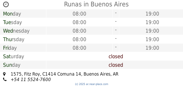
Runas
Fitz Roy 1575
Bakery
read more
534 m
Parada Bajarano
Ángel Justiniano Carranza 2094
Bakery
read more
576 m
Don Blanco Pastelería
Arévalo 1989
Bakery
read more
578 m
Panadería La Flor de la Rivera
Avenida Córdoba 5387
Bakery
read more
583 m
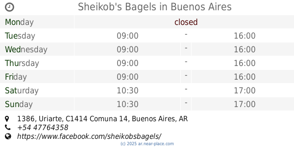
Sheikob's Bagels
Uriarte 1386
Bakery
read more
591 m
Panadería Don Blanco
Nicaragua 6000
Bakery
read more
600 m
Don Blanco
Arévalo & Nicaragua
Bakery
read more
645 m
Pizzas PBT
Ángel Justiniano Carranza 2204
Bakery
read more
657 m
Panaderia Confiteria La Estrella Del Plata
José Antonio Cabrera 5132
Bakery
read more
659 m
Nw Pastry School
Castillo 1336
Bakery
read more
685 m
Rosetta cafe & cuisine
Avenida Dorrego 1587
Bakery
read more
796 m
La Panería Confitería
Humboldt 2341
Bakery
read more
818 m
So Bagel
Paraguay 4979
Bakery
read more
919 m
Panadería Darling
Avenida Santa Fe 5110
Bakery
read more
966 m
Panaderia La Argentina
Aguirre 1135
Bakery
read more
982 m
Ruka PASTELERIA ARTESANAL
Uriarte 2193
Bakery
read more
996 m
Rock & Klem
Santos Dumont 3483
Bakery
read more
996 m
Compañía de Pan
Avenida Santa Fe 4928
Bakery
read more
1.017 km
Panadería y Confitería Lyon
Thames 880
Bakery
read more
1.017 km
Bacco
Thames 880
Bakery
read more
1.062 km
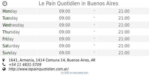
Le Pain Quotidien
Armenia 1641
Bakery
read more
1.068 km
Apócrifo
Avenida Luis María Campos 92
Bakery
read more
1.085 km
La Nueva Dorrego
C1414CKS, Avenida Dorrego 1010
Bakery
read more
1.148 km
Panadería y Confitería Medio Oriente
C1414BGL 4702, BGL, José Antonio Cabrera, Buenos Aires
Bakery
read more
1.328 km
Sabor & arte.
Avenida Corrientes 6116
Bakery
read more
📑
all categories
Accounting
Administrative area level 1
Administrative area level 2
Airport
Amusement park
Aquarium
Art gallery
Atm
Bakery
Bank
Bar
Beauty salon
Bicycle store
Book store
Bowling alley
Bus station
Cafe
Campground
Car dealer
Car rental
Car repair
Car wash
Casino
Cemetery
Church
City hall
Clothing store
Colloquial area
Convenience store
Country
Courthouse
Dentist
Department store
Doctor
Electrician
Electronics store
Embassy
Establishment
Finance
Fire station
Florist
Food
Funeral home
Furniture store
Gas station
General contractor
Grocery or supermarket
Gym
Hair care
Hardware store
Health
Hindu Temple
Home goods store
Hospital
Insurance agency
Intersection
Jewelry store
Laundry
Lawyer
Library
Light rail station
Liquor store
Local government office
Locality
Locksmith
Lodging
Meal delivery
Meal takeaway
Mosque
Movie rental
Movie theater
Moving company
Museum
Natural feature
Neighborhood
Night club
Painter
Park
Parking
Pet store
Pharmacy
Physiotherapist
Place of worship
Plumber
Point of interest
Police
Political
Post office
Premise
Real estate agency
Restaurant
Roofing contractor
Route
Rv park, camping
School
Shoe store
Shopping mall
Spa
Stadium
Storage
Store
Subpremise
Subway station
Supermarket
Synagogue
Taxi stand
Train station
Transit station
Travel agency
University
Veterinary care
Zoo
sublocality level 1
sublocality level 3
↑