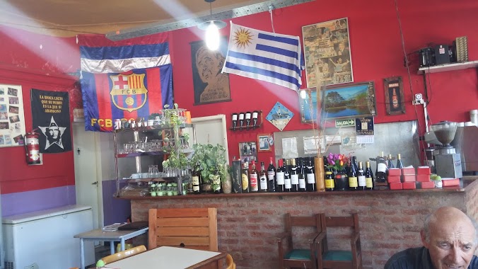
Bar nearby Assembly and Emilio Mitre
Argentina
Bar nearby Assembly and Emilio Mitre
Assembly and Emilio Mitre
399, Avenida Almafuerte, C1437, Comuna 4, Buenos Aires, AR Argentina
contacts phone
:
+54
Latitude:
-34.6413551
, Longitude:
-58.4143974
larger map & directions
read more
nearest Bar
155 m
Marcos
Avenida Almafuerte 300-226, C1437JLP
Bar
read more
270 m
Estudio Juridico Dr Barraza Pedro Osvaldo
José A. Cortejarena 3592
Bar
read more
301 m
DON ALFDREDO PARRILLA
Avenida Almafuerte 89
Bar
read more
344 m
CHAPEAUX
Avenida Caseros 3415
Bar
read more
354 m
Robusto Cesar A
Avenida Caseros 3699
Bar
read more
444 m
MI SOL
Avenida Chiclana 3700
Bar
read more
552 m
Rodriguez Maria E
Pepirí 135
Bar
read more
554 m
Restaurante Turistico Juanita y Paul
Avenida Sáenz 575
Bar
read more
666 m
Bar El Jarrito
Enrique Ochoa 56
Bar
read more
747 m
Restaurante Mailin
Avenida Chiclana 4202
Bar
read more
765 m
Mechita
Avenida La Plata 2906
Bar
read more
770 m
Ruta 40 cervecería
Doctor Profesor Pedro Chutro 3098
Bar
read more
807 m
Los Cristales
Grito de Asencio 3884
Bar
read more
896 m
Boedo a la parrilla
Avenida Boedo 1656
Bar
read more
899 m
Parrilla Lo de María
Avenida Sáenz 799, Buenos Aires
Bar
read more
943 m
Estación Patricios
Corrales Viejos 88
Bar
read more
958 m
Mamma Silvia
C1250AAR, Avenida La Plata 1988
Bar
read more
958 m
Mamma Silvia
C1250AAR, Av. La Plata 1988
Bar
read more
971 m
Beer Pub BierWelt
Avenida Boedo 1600
Bar
read more
981 m
Bierwelt - Cervecería Artesanal
Boedo 1600 (esquina Inclán)
Bar
read more
1.016 km
Vivirum
La Rioja 2084
Bar
read more
1.018 km
Carpe Diem
La Rioja 2027
Bar
read more
1.039 km
Bar la via
Zañartu 486
Bar
read more
1.048 km
Marula
Patagones 2902
Bar
read more
1.074 km
Lo de Anita
24 de Noviembre 1797
Bar
read more
📑
all categories
Accounting
Administrative area level 1
Administrative area level 2
Airport
Amusement park
Aquarium
Art gallery
Atm
Bakery
Bank
Bar
Beauty salon
Bicycle store
Book store
Bowling alley
Bus station
Cafe
Campground
Car dealer
Car rental
Car repair
Car wash
Casino
Cemetery
Church
City hall
Clothing store
Colloquial area
Convenience store
Country
Courthouse
Dentist
Department store
Doctor
Electrician
Electronics store
Embassy
Establishment
Finance
Fire station
Florist
Food
Funeral home
Furniture store
Gas station
General contractor
Grocery or supermarket
Gym
Hair care
Hardware store
Health
Hindu Temple
Home goods store
Hospital
Insurance agency
Intersection
Jewelry store
Laundry
Lawyer
Library
Light rail station
Liquor store
Local government office
Locality
Locksmith
Lodging
Meal delivery
Meal takeaway
Mosque
Movie rental
Movie theater
Moving company
Museum
Natural feature
Neighborhood
Night club
Painter
Park
Parking
Pet store
Pharmacy
Physiotherapist
Place of worship
Plumber
Point of interest
Police
Political
Post office
Premise
Real estate agency
Restaurant
Roofing contractor
Route
Rv park, camping
School
Shoe store
Shopping mall
Spa
Stadium
Storage
Store
Subpremise
Subway station
Supermarket
Synagogue
Taxi stand
Train station
Transit station
Travel agency
University
Veterinary care
Zoo
sublocality level 1
sublocality level 3
↑