Bar nearby Bar
Argentina
Bar nearby Bar
Bar
3402, Avenida de los Constituyentes, Comuna 15, Buenos Aires, AR Argentina
contacts phone
:
+54
Latitude:
-34.5907216
, Longitude:
-58.4840417
larger map & directions
read more
nearest Bar
381 m
Solano's Factory
Mariscal Francisco Solano López 2144, C1419HQB
Bar
read more
488 m
TEMPLO DEL CONEJO
C1427DEN, Llerena 3052
Bar
read more
593 m
Ciclo Básico Café
Curp edificio 2
Bar
read more
598 m
Fauno'ss
Quirós 3065
Bar
read more
628 m
PULPERÍA SIGLO XX
Avenida de los Constituyentes 3939
Bar
read more
721 m
BRODA BREWING CO
Bucarelli 1053, C1427BDC
Bar
read more
760 m
El Académico
Avenida San Martín 4805
Bar
read more
764 m
Hupulus
Avenida San Martín 4527
Bar
read more
782 m
Biersal BREWERY
C1419GZA, Avenida Salvador María del Carril 2198
Bar
read more
782 m
El Faro
Avenida de los Constituyentes 4099
Bar
read more
782 m
Biersal Cervecería Artesanal
C1419GZA, Avenida Salvador María del Carril 2198
Bar
read more
796 m
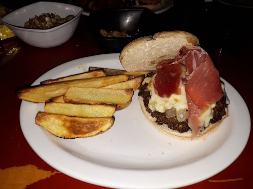
Gott - Burger & Beer
Avenida de los Constituyentes 4101
Bar
read more
797 m
299 Cervecería
Avenida San Martín 4949
Bar
read more
916 m
Dorian Café y Bar
Avenida Salvador María del Carril 2498
Bar
read more
959 m
Oliverio
La Pampa 5501-5547
Bar
read more
971 m
Solanas Futbol
Avenida Francisco Beiró 2835
Bar
read more
976 m
Viejo Mundo - Warnes
Av. Warnes 2702
Bar
read more
976 m
Viejo Mundo - Warnes
Avenida Warnes 2702
Bar
read more
998 m
Vinos de Culto Bistró
Avenida General Benjamín Victorica 2656
Bar
read more
998 m
Vinos de Culto Bistró - Wine Bar
Avenida General Benjamín Victorica 2656
Bar
read more
1.013 km
Parkville
C1417DMJ, Alfredo R. Bufano 2930
Bar
read more
1.102 km
Fioti, Mabel Alicia
Raulies 2043
Bar
read more
1.103 km
Gamarra Hamburguesería
Avenida de los Incas 4699
Bar
read more
1.167 km
Sebariel
Avenida San Martín 5454
Bar
read more
1.307 km
Plan B
Avenida de los Incas 4544
Bar
read more
📑
all categories
Accounting
Administrative area level 1
Administrative area level 2
Airport
Amusement park
Aquarium
Art gallery
Atm
Bakery
Bank
Bar
Beauty salon
Bicycle store
Book store
Bowling alley
Bus station
Cafe
Campground
Car dealer
Car rental
Car repair
Car wash
Casino
Cemetery
Church
City hall
Clothing store
Colloquial area
Convenience store
Country
Courthouse
Dentist
Department store
Doctor
Electrician
Electronics store
Embassy
Establishment
Finance
Fire station
Florist
Food
Funeral home
Furniture store
Gas station
General contractor
Grocery or supermarket
Gym
Hair care
Hardware store
Health
Hindu Temple
Home goods store
Hospital
Insurance agency
Intersection
Jewelry store
Laundry
Lawyer
Library
Light rail station
Liquor store
Local government office
Locality
Locksmith
Lodging
Meal delivery
Meal takeaway
Mosque
Movie rental
Movie theater
Moving company
Museum
Natural feature
Neighborhood
Night club
Painter
Park
Parking
Pet store
Pharmacy
Physiotherapist
Place of worship
Plumber
Point of interest
Police
Political
Post office
Premise
Real estate agency
Restaurant
Roofing contractor
Route
Rv park, camping
School
Shoe store
Shopping mall
Spa
Stadium
Storage
Store
Subpremise
Subway station
Supermarket
Synagogue
Taxi stand
Train station
Transit station
Travel agency
University
Veterinary care
Zoo
sublocality level 1
sublocality level 3
↑