Bar nearby Bar De Manolo
Argentina
Bar nearby Bar De Manolo
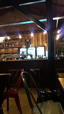
Bar De Manolo
1399-1471, Hipólito Yrigoyen, B1744, Moreno, Moreno, AR Argentina
contacts phone
:
+54
Latitude:
-34.6540107
, Longitude:
-58.799559
larger map & directions
read more
nearest Bar
134 m
Bar La Estrella
B1744COQ, Hipólito Yrigoyen 1500-1598, Moreno
Bar
read more
543 m
La Basica Cultural
B1744ICL, Teniente Ibañez 3336, Moreno
Bar
read more
552 m
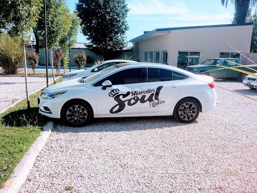
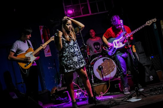
MIERCOLES SOUL EN HEAVEN
Martínez Melo 199, Moreno
Bar
read more
653 m
Drink's Bar
Zeballos, Moreno
Bar
read more
653 m
Drink's Bar
Estanislao Zeballos, Moreno
Bar
read more
661 m
BREWERY store
B1744OPH, Leandro N. Alem 2826, Moreno
Bar
read more
661 m
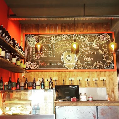
Almacen De Cerveceria Artesanal
B1744OPH, Leandro N. Alem 2826, Moreno
Bar
read more
664 m
CERVECERIA . COMIDAS
Martínez Melo 171, b B1744FDC
Bar
read more
688 m
Petrobras
3255, Avenida Francisco Piovano 3199, Moreno
Bar
read more
835 m
FinisterreBar
Avenida Bartolomé Mitre 200-298, Moreno
Bar
read more
853 m
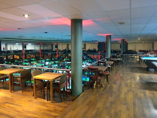
El Trebol Pool
Ruta Provincial 7 202, Moreno
Bar
read more
896 m
Aquí Me Quedo
Avenida Bartolomé Mitre 3034, Moreno
Bar
read more
902 m
Don Isidro - Resto Bar -
B1744BUC, Bernardino Rivadavia 160, Moreno
Bar
read more
905 m
Mítico Bar
Doctor Alberto Vera 133, Gran Buenos Aires
Bar
read more
1.077 km
Shekar Bar
B1744OBF, Concejal Alberto Rosset 236, Moreno
Bar
read more
1.081 km
Shekar Patio Cervecero
Moreno
Bar
read more
1.115 km
Lo Jappy
199-299, B1744JRE, Nahuel Huapi, Moreno
Bar
read more
1.145 km
Petra
Concejal Alberto Rosset 66, Moreno
Bar
read more
1.15 km
New Petra Lounge Bar
1-99, B1744OBA, Concejal Alberto Rosset, Moreno
Bar
read more
1.165 km
Breaking Bar
Concejal Alberto Rosset 34, Moreno
Bar
read more
1.211 km
La Vieja Florería
Independencia 2897, Moreno
Bar
read more
1.251 km
Fanky bar
B1744OCS, Independencia 2817, Moreno
Bar
read more
1.28 km
Capriccio
Ruta Provincial 23 300, Moreno
Bar
read more
1.292 km
HollyBar
Avenida del Libertador 382, Moreno
Bar
read more
1.378 km
La Gaetana
B1744HIM, Claudio María Joly 2299-2395, Moreno
Bar
read more
📑
all categories
Accounting
Administrative area level 1
Administrative area level 2
Airport
Amusement park
Aquarium
Art gallery
Atm
Bakery
Bank
Bar
Beauty salon
Bicycle store
Book store
Bowling alley
Bus station
Cafe
Campground
Car dealer
Car rental
Car repair
Car wash
Casino
Cemetery
Church
City hall
Clothing store
Colloquial area
Convenience store
Country
Courthouse
Dentist
Department store
Doctor
Electrician
Electronics store
Embassy
Establishment
Finance
Fire station
Florist
Food
Funeral home
Furniture store
Gas station
General contractor
Grocery or supermarket
Gym
Hair care
Hardware store
Health
Hindu Temple
Home goods store
Hospital
Insurance agency
Intersection
Jewelry store
Laundry
Lawyer
Library
Light rail station
Liquor store
Local government office
Locality
Locksmith
Lodging
Meal delivery
Meal takeaway
Mosque
Movie rental
Movie theater
Moving company
Museum
Natural feature
Neighborhood
Night club
Painter
Park
Parking
Pet store
Pharmacy
Physiotherapist
Place of worship
Plumber
Point of interest
Police
Political
Post office
Premise
Real estate agency
Restaurant
Roofing contractor
Route
Rv park, camping
School
Shoe store
Shopping mall
Spa
Stadium
Storage
Store
Subpremise
Subway station
Supermarket
Synagogue
Taxi stand
Train station
Transit station
Travel agency
University
Veterinary care
Zoo
sublocality level 1
sublocality level 3
↑