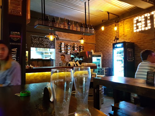
Bar nearby El Criollo de Urquiza
Argentina
Bar nearby El Criollo de Urquiza
El Criollo de Urquiza
5701, Avenida Monroe, C1431, Comuna 12, Buenos Aires, AR Argentina
contacts phone
:
+54 11 4521-0028
website:
business.google.com
Latitude:
-34.5781492
, Longitude:
-58.4933111
larger map & directions
read more
nearest Bar
161 m
Bar Franklin
5800, C1431BZT, Franklin D. Roosevelt 5748
Bar
read more
387 m
El Templo del Rocanroll
Doctor Pedro Ignacio Rivera 5850, C1431BWB C1431BWB
Bar
read more
388 m
Lo de Josu
Doctor Pedro Ignacio Rivera 5850, C1431BWB
Bar
read more
415 m
Fullescabio
Avenida Monroe 5375, Villa Urquiza
Bar
read more
509 m
Maldita Malta
Avenida Olazábal 5241
Bar
read more
535 m
BlueDog Urquiza
Bucarelli 2340, C1431DQT
Bar
read more
611 m
Boulevardier Bar
C1431DVN, Andonaegui 2076
Bar
read more
650 m
Giuliano Cesarino
Avenida Congreso 5737
Bar
read more
666 m
Regionales Mendoza
C1431DNT, Bauness 2384
Bar
read more
762 m
Butan Bar
C1431CIO, Mendoza 5207
Bar
read more
772 m
Lo de Amelia
Galería Paseo de la Vida, Avenida Olazábal 5036
Bar
read more
788 m
Charly Beer
Avenida Congreso 5286, C1431AAU, Buenos Aires
Bar
read more
793 m
Rosti
Avenida General Mosconi 2581
Bar
read more
840 m
Gott - Burger & Beer
Avenida de los Constituyentes 4101
Bar
read more
850 m
Lo De Beer
Nahuel Huapi 5105
Bar
read more
854 m
El Faro
Avenida de los Constituyentes 4099
Bar
read more
866 m
Pizzeria Kentucky
Avenida Triunvirato 4500
Bar
read more
877 m
Cerveceria Antares
Díaz Colodrero 2321, C1431FLA
Bar
read more
898 m
Biersal BREWERY
C1419GZA, Avenida Salvador María del Carril 2198
Bar
read more
942 m
Oliverio
La Pampa 5501-5547
Bar
read more
1.007 km
PULPERÍA SIGLO XX
Avenida de los Constituyentes 3939
Bar
read more
1.023 km
uno dos tres probando
Díaz Colodrero, Cullen y
Bar
read more
1.026 km
La Esquina
Avenida de los Constituyentes 5801
Bar
read more
1.146 km
Sin Rumbo (Tango)
José Pascual Tamborini 6157
Bar
read more
1.3 km
Cossab
Doctor Pedro Ignacio Rivera 4700
Bar
read more
📑
all categories
Accounting
Administrative area level 1
Administrative area level 2
Airport
Amusement park
Aquarium
Art gallery
Atm
Bakery
Bank
Bar
Beauty salon
Bicycle store
Book store
Bowling alley
Bus station
Cafe
Campground
Car dealer
Car rental
Car repair
Car wash
Casino
Cemetery
Church
City hall
Clothing store
Colloquial area
Convenience store
Country
Courthouse
Dentist
Department store
Doctor
Electrician
Electronics store
Embassy
Establishment
Finance
Fire station
Florist
Food
Funeral home
Furniture store
Gas station
General contractor
Grocery or supermarket
Gym
Hair care
Hardware store
Health
Hindu Temple
Home goods store
Hospital
Insurance agency
Intersection
Jewelry store
Laundry
Lawyer
Library
Light rail station
Liquor store
Local government office
Locality
Locksmith
Lodging
Meal delivery
Meal takeaway
Mosque
Movie rental
Movie theater
Moving company
Museum
Natural feature
Neighborhood
Night club
Painter
Park
Parking
Pet store
Pharmacy
Physiotherapist
Place of worship
Plumber
Point of interest
Police
Political
Post office
Premise
Real estate agency
Restaurant
Roofing contractor
Route
Rv park, camping
School
Shoe store
Shopping mall
Spa
Stadium
Storage
Store
Subpremise
Subway station
Supermarket
Synagogue
Taxi stand
Train station
Transit station
Travel agency
University
Veterinary care
Zoo
sublocality level 1
sublocality level 3
↑