Bar nearby El Italiano
Argentina
Bar nearby El Italiano
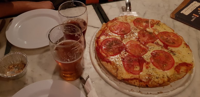
El Italiano
4199, Sarmiento, C1173, Comuna 5, Buenos Aires, AR Argentina
contacts phone
:
+54 11 4862-3845
Latitude:
-34.6044425
, Longitude:
-58.4242778
larger map & directions
read more
nearest Bar
294 m
Del Norte
Avenida Corrientes 4390
Bar
read more
296 m
Hoffer's
Presidente Teniente General Juan Domingo Perón 3922, C1198AAX
Bar
read more
302 m
Estación Cabrera
José Antonio Cabrera 3975
Bar
read more
306 m
Joffer's Cervecería
Teniente General Juan Domingo Perón 3926
Bar
read more
415 m
Bar Almagro
C1179AAL, Avenida Medrano 696
Bar
read more
456 m
After Birra Coffee Bar Rock
Francisco Acuña de Figueroa 885, Buenos Aires
Bar
read more
489 m
Lo de Fran
Jerónimo Salguero 302
Bar
read more
495 m
Cooke Cultural Center
Guardia Vieja 4087
Bar
read more
557 m
Pachi Pizza & Bar
Avenida Medrano 801
Bar
read more
673 m
José Bar
Yatay 1071
Bar
read more
699 m
Adela Ex Cosimo
660,, Río de Janeiro 658
Bar
read more
740 m
La Vieja Guarida
C1192AAI, Guardia Vieja 3777, AAI
Bar
read more
767 m
Bulnes & Lavalle Pub
ABR, Bulnes 996
Bar
read more
780 m
Caffé del Doge Argentina - Villa Crespo
Avenida Estado de Israel 4841
Bar
read more
955 m
Carioca
Avenida Córdoba 4302
Bar
read more
965 m
Canario Rojo
728, Sánchez de Bustamante
Bar
read more
985 m
Milonga Amapola
C1173ABN, Sánchez de Bustamante 764
Bar
read more
988 m
Dambar
1218, DTZ, Lavalleja C1414DTZ, Buenos Aires
Bar
read more
990 m
Le Troquet Henry
3460, AAD, Guardia Vieja, Buenos Aires
Bar
read more
1.006 km
Pinta en Casa
Río de Janeiro 209, C1405CCB
Bar
read more
1.011 km
Bar Lorena
C1414AQF, Juan Ramirez de Velasco 212
Bar
read more
1.019 km
The Stand
Avenida Córdoba 3528
Bar
read more
1.021 km
Global Vinos
Argentina
Bar
read more
1.132 km
Rojo
Avenida Córdoba 3400
Bar
read more
1.25 km
El Desalmadero (Folklore)
Avenida Raúl Scalabrini Ortíz 670
Bar
read more
📑
all categories
Accounting
Administrative area level 1
Administrative area level 2
Airport
Amusement park
Aquarium
Art gallery
Atm
Bakery
Bank
Bar
Beauty salon
Bicycle store
Book store
Bowling alley
Bus station
Cafe
Campground
Car dealer
Car rental
Car repair
Car wash
Casino
Cemetery
Church
City hall
Clothing store
Colloquial area
Convenience store
Country
Courthouse
Dentist
Department store
Doctor
Electrician
Electronics store
Embassy
Establishment
Finance
Fire station
Florist
Food
Funeral home
Furniture store
Gas station
General contractor
Grocery or supermarket
Gym
Hair care
Hardware store
Health
Hindu Temple
Home goods store
Hospital
Insurance agency
Intersection
Jewelry store
Laundry
Lawyer
Library
Light rail station
Liquor store
Local government office
Locality
Locksmith
Lodging
Meal delivery
Meal takeaway
Mosque
Movie rental
Movie theater
Moving company
Museum
Natural feature
Neighborhood
Night club
Painter
Park
Parking
Pet store
Pharmacy
Physiotherapist
Place of worship
Plumber
Point of interest
Police
Political
Post office
Premise
Real estate agency
Restaurant
Roofing contractor
Route
Rv park, camping
School
Shoe store
Shopping mall
Spa
Stadium
Storage
Store
Subpremise
Subway station
Supermarket
Synagogue
Taxi stand
Train station
Transit station
Travel agency
University
Veterinary care
Zoo
sublocality level 1
sublocality level 3
↑