Bar nearby La Taberna del Vikingo
Argentina
Bar nearby La Taberna del Vikingo
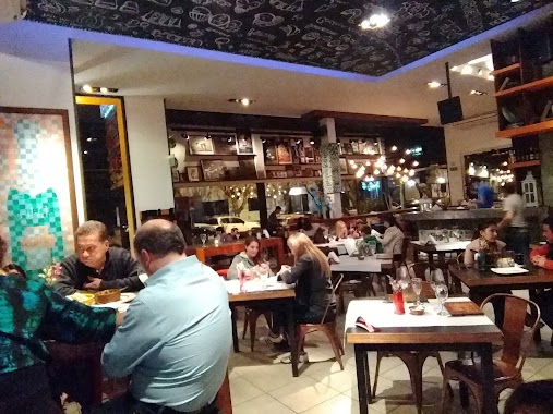
La Taberna del Vikingo
375, Los Tiatines, Salta, Capital, AR Argentina
contacts phone
:
+54
Latitude:
-24.7622986
, Longitude:
-65.400874
larger map & directions
read more
nearest Bar
415 m
Confiteria el Molino
Avenida Reyes Catolicos 1480, Salta
Bar
read more
421 m
El Cuartel
Avenida Reyes Catolicos, Los Tilos y, Salta
Bar
read more
468 m
Mistika Resto Bar
Avenida Reyes Catolicos 2096, Salta
Bar
read more
987 m
Male House
Los Cipreses 70-78, Salta
Bar
read more
1.178 km
Sandwicheria Lulu
599,, Martina Silva de Gurruchaga 499, Salta
Bar
read more
1.363 km
Rith Themed Restobar
Avenida Reyes Catolicos 1330, Salta
Bar
read more
1.363 km
Grizzly Bar & Burguer
Salta
Bar
read more
1.367 km
Aniceto Coffee Bar & Grill
Aniceto 4400, Aniceto Latorre 3, Salta
Bar
read more
1.542 km
Macedonio
Bartolomé Mitre 1290, Salta
Bar
read more
2.017 km
Coyah
Balcarce 997, Salta
Bar
read more
2.022 km
Elephant
998,, Balcarce 900, Salta
Bar
read more
2.027 km
Macondo Restobar
Balcarce 982, Salta
Bar
read more
2.035 km
Macondo Bar
Balcarce 980, Salta
Bar
read more
2.068 km
Virtualracer.Net Bar Sport
Balcarce 908, Salta
Bar
read more
2.068 km
ONE Food Y Sound
Salta
Bar
read more
2.083 km
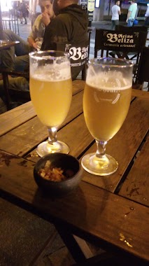
Reina Beliza
Necochea 600-698, Salta
Bar
read more
2.088 km
Café del Tiempo
Balcarce 901, Salta
Bar
read more
2.092 km
Hansen
Balcarce 902, Salta
Bar
read more
2.115 km
Amnesia Resto Pub
899, Balcarce, Salta
Bar
read more
2.12 km
Hendrix MotoBar
Necochea 740, Salta
Bar
read more
2.136 km
Bourbon Bar Salta
4400, Balcarce 876, Salta
Bar
read more
2.139 km
Seis VIEJAS
Necochea 745, Salta
Bar
read more
2.179 km
Boomerang Resto Bar
Balcarce 849, Salta
Bar
read more
2.206 km
San Sebastián Bar
Salta
Bar
read more
2.425 km
S.O.R.I
Avenida Sarmiento 800, Salta
Bar
read more
📑
all categories
Accounting
Administrative area level 1
Administrative area level 2
Airport
Amusement park
Aquarium
Art gallery
Atm
Bakery
Bank
Bar
Beauty salon
Bicycle store
Book store
Bowling alley
Bus station
Cafe
Campground
Car dealer
Car rental
Car repair
Car wash
Casino
Cemetery
Church
City hall
Clothing store
Colloquial area
Convenience store
Country
Courthouse
Dentist
Department store
Doctor
Electrician
Electronics store
Embassy
Establishment
Finance
Fire station
Florist
Food
Funeral home
Furniture store
Gas station
General contractor
Grocery or supermarket
Gym
Hair care
Hardware store
Health
Hindu Temple
Home goods store
Hospital
Insurance agency
Intersection
Jewelry store
Laundry
Lawyer
Library
Light rail station
Liquor store
Local government office
Locality
Locksmith
Lodging
Meal delivery
Meal takeaway
Mosque
Movie rental
Movie theater
Moving company
Museum
Natural feature
Neighborhood
Night club
Painter
Park
Parking
Pet store
Pharmacy
Physiotherapist
Place of worship
Plumber
Point of interest
Police
Political
Post office
Premise
Real estate agency
Restaurant
Roofing contractor
Route
Rv park, camping
School
Shoe store
Shopping mall
Spa
Stadium
Storage
Store
Subpremise
Subway station
Supermarket
Synagogue
Taxi stand
Train station
Transit station
Travel agency
University
Veterinary care
Zoo
sublocality level 1
sublocality level 3
↑