Bar nearby Let It Brew
Argentina
Bar nearby Let It Brew
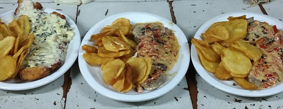
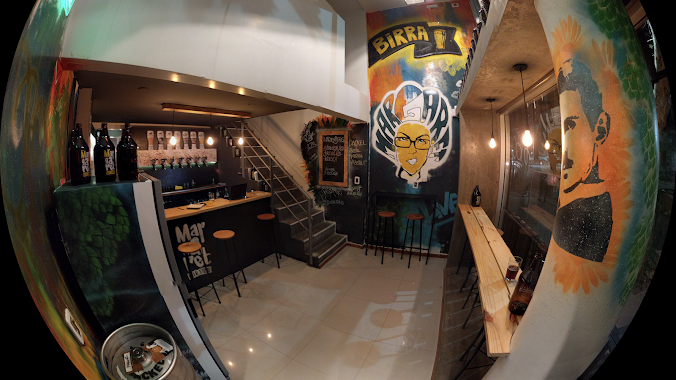
Let It Brew
500, Avenida 66, B1904, La Plata, La Plata, AR Argentina
contacts phone
:
+54
website:
m.facebook.com
Latitude:
-34.9241387
, Longitude:
-57.9324918
larger map & directions
read more
nearest Bar
95 m
All Wine
Avenida 66 546, La Plata
Bar
read more
269 m
Refill La Plata
Calle 48 864, La Plata
Bar
read more
411 m
Duff Resto Bar
Diagonal 73 801, La Plata
Bar
read more
436 m
Oro Negro
Avenida 7 1545, La Plata
Bar
read more
453 m
1/2 Galon Beer Store
63 #550 Esquina 6, La Plata
Bar
read more
476 m
Esponja
Calle 67 335, La Plata
Bar
read more
538 m
Bar Hunter
B1906DMG, Plaza matheu 60, La Plata
Bar
read more
768 m
Estación Growler
B1904CLB, Avenida 7 1400, La Plata
Bar
read more
832 m
Valnød. Vermut & Coctel
Avenida 7 1938, La Plata
Bar
read more
837 m
Cultores del Vino
Avenida 60 492, La Plata
Bar
read more
850 m
Kush Almacen de Delicias
Avenida 60 514, La Plata
Bar
read more
987 m
Fucce
Diagonal 79 512, La Plata
Bar
read more
1.025 km
Amberes Cervezas Artesanales
Calle 63 827, La Plata
Bar
read more
1.037 km
Amandis
Calle 59 587, La Plata
Bar
read more
1.04 km
Cervecería Patagonia
B1906EFZ, Avenida 7 1286-1300, La Plata
Bar
read more
1.041 km
Margaret Beer Store
Diagonal 73 1261, La Plata
Bar
read more
1.041 km
Smith Brew Pub
Calle 59 585, La Plata
Bar
read more
1.042 km
Refugio Patagonia
Av. 7 & Calle 59, La Plata
Bar
read more
1.043 km
Ale
Calle 117 1751-1799, B1904CCM, La Plata
Bar
read more
1.057 km
VALHÖLL - BEER HOUSE
Calle 4 1286, La Plata
Bar
read more
1.086 km
Twins
Av 7 1278, Casco Urbano, La Plata
Bar
read more
1.092 km
Refugio Patagonia 59 y 7
Av. 7 & Calle 59, La Plata
Bar
read more
1.12 km
torrobas house
B1900BPV, Calle 58 502, La Plata
Bar
read more
1.125 km
Monkey Beer
Diagonal 79 737, La Plata
Bar
read more
1.164 km
Cinco Sabios
Avenida 13 1540, La Plata
Bar
read more
📑
all categories
Accounting
Administrative area level 1
Administrative area level 2
Airport
Amusement park
Aquarium
Art gallery
Atm
Bakery
Bank
Bar
Beauty salon
Bicycle store
Book store
Bowling alley
Bus station
Cafe
Campground
Car dealer
Car rental
Car repair
Car wash
Casino
Cemetery
Church
City hall
Clothing store
Colloquial area
Convenience store
Country
Courthouse
Dentist
Department store
Doctor
Electrician
Electronics store
Embassy
Establishment
Finance
Fire station
Florist
Food
Funeral home
Furniture store
Gas station
General contractor
Grocery or supermarket
Gym
Hair care
Hardware store
Health
Hindu Temple
Home goods store
Hospital
Insurance agency
Intersection
Jewelry store
Laundry
Lawyer
Library
Light rail station
Liquor store
Local government office
Locality
Locksmith
Lodging
Meal delivery
Meal takeaway
Mosque
Movie rental
Movie theater
Moving company
Museum
Natural feature
Neighborhood
Night club
Painter
Park
Parking
Pet store
Pharmacy
Physiotherapist
Place of worship
Plumber
Point of interest
Police
Political
Post office
Premise
Real estate agency
Restaurant
Roofing contractor
Route
Rv park, camping
School
Shoe store
Shopping mall
Spa
Stadium
Storage
Store
Subpremise
Subway station
Supermarket
Synagogue
Taxi stand
Train station
Transit station
Travel agency
University
Veterinary care
Zoo
sublocality level 1
sublocality level 3
↑