Bar nearby Rabieta
Argentina
Bar nearby Rabieta
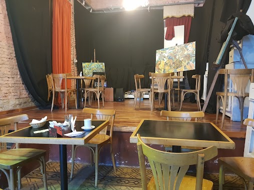
Rabieta
3949, Avenida del Libertador, C1426, Comuna 14, Buenos Aires, AR Argentyna
contacts phone
:
+54 11 4778-2880
website:
www.facebook.com
Latitude:
-34.5700804
, Longitude:
-58.4251147
larger map & directions
read more
nearest Bar
290 m
WOODS STA.
Av libertador 3883 arco 5
Bar
read more
308 m
Avant Garten
Avenida del Libertador 3883
Bar
read more
471 m
Francis Platz - Cañitas
Andrés Arguibel 2859
Bar
read more
513 m
Coppolla’s
Arce 243
Bar
read more
538 m
El Estanciero
Báez 196
Bar
read more
538 m
Izakaya by Sushi Pop - Cañitas
Báez 207
Bar
read more
541 m
Lupita
Báez 227
Bar
read more
565 m
Mona
Báez 240
Bar
read more
571 m
Lucky Seven
C1426BRE, Báez 283
Bar
read more
574 m
Berlina Las Cañitas
Arévalo 2925
Bar
read more
588 m
Punto e
Arévalo 2903
Bar
read more
599 m
DISTRITO Beer Garden
C1426BRG, Báez 315
Bar
read more
605 m
Van Koning Bar Dutch
Báez 325
Bar
read more
616 m
Jackie O
Báez 200
Bar
read more
630 m
Jerome Cerveza Artesanal
Avenida General Indalecio Chenaut 1878
Bar
read more
745 m
La Birrería
Ortega y Gasset 1899
Bar
read more
904 m
Havana Sa
Sold D L Indep 802, Palermo
Bar
read more
964 m
Expo Ferni
C1425BDA, Antonio Beruti 4449
Bar
read more
973 m
Pizzería Bar Cantegril
Avenida Luis María Campos 701
Bar
read more
1.005 km
Maldita Malta
Avenida Santa Fe 5208
Bar
read more
1.019 km
Queseria de Mi
Humboldt 2485, Buenos Aires
Bar
read more
1.087 km
Centro Cultural Amigos De Eladia Blázquez
Avenida Santa Fe 5362
Bar
read more
1.125 km
La Tacita
Avenida Dorrego 2525
Bar
read more
1.142 km
Sabores de la Cepa
Paraguay 5635
Bar
read more
1.288 km
Long Bar BsAs
Ángel Justiniano Carranza 2101-2199, C1425FXA
Bar
read more
📑
all categories
Accounting
Administrative area level 1
Administrative area level 2
Airport
Amusement park
Aquarium
Art gallery
Atm
Bakery
Bank
Bar
Beauty salon
Bicycle store
Book store
Bowling alley
Bus station
Cafe
Campground
Car dealer
Car rental
Car repair
Car wash
Casino
Cemetery
Church
City hall
Clothing store
Colloquial area
Convenience store
Country
Courthouse
Dentist
Department store
Doctor
Electrician
Electronics store
Embassy
Establishment
Finance
Fire station
Florist
Food
Funeral home
Furniture store
Gas station
General contractor
Grocery or supermarket
Gym
Hair care
Hardware store
Health
Hindu Temple
Home goods store
Hospital
Insurance agency
Intersection
Jewelry store
Laundry
Lawyer
Library
Light rail station
Liquor store
Local government office
Locality
Locksmith
Lodging
Meal delivery
Meal takeaway
Mosque
Movie rental
Movie theater
Moving company
Museum
Natural feature
Neighborhood
Night club
Painter
Park
Parking
Pet store
Pharmacy
Physiotherapist
Place of worship
Plumber
Point of interest
Police
Political
Post office
Premise
Real estate agency
Restaurant
Roofing contractor
Route
Rv park, camping
School
Shoe store
Shopping mall
Spa
Stadium
Storage
Store
Subpremise
Subway station
Supermarket
Synagogue
Taxi stand
Train station
Transit station
Travel agency
University
Veterinary care
Zoo
sublocality level 1
sublocality level 3
↑