Bus station nearby Avenida Cabildo 1559
Argentina
Bus station nearby Avenida Cabildo 1559
Avenida Cabildo 1559
Buenos Aires, Argentina
contacts phone
:
+54
Latitude:
-34.5664197
, Longitude:
-58.4516454
larger map & directions
read more
nearest Bus station
344 m
Metrobus - La Pampa
Argentina
Bus station
read more
359 m
Avenida Cabildo 1257
Argentina
Bus station
read more
478 m
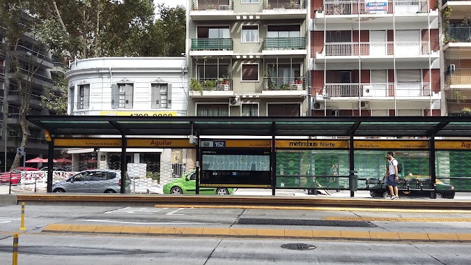
Metrobus - Aguilar
Argentina
Bus station
read more
484 m
Metrobus - Echeverria Station
Argentina
Bus station
read more
673 m
Juramento 2385
Argentina
Bus station
read more
749 m
Juramento 1995
Argentina
Bus station
read more
766 m
Zapiola 1502-1600
Argentina
Bus station
read more
767 m
Avenida Federico Lacroze 2493
Argentina
Bus station
read more
770 m
Avenida Federico Lacroze 2302-2352
Argentina
Bus station
read more
782 m
Avenida Elcano 3002-3050
Argentina
Bus station
read more
796 m
Mendoza 2404
Argentina
Bus station
read more
800 m
Avenida Cabildo 722-752
Argentina
Bus station
read more
800 m
Avenida Federico Lacroze 2510
Argentina
Bus station
read more
804 m
Avenida Virrey Vértiz 1831-1863
Argentina
Bus station
read more
805 m
Avenida Federico Lacroze 2212
Argentina
Bus station
read more
860 m
Avenida Virrey Vértiz 2002-2068
Argentina
Bus station
read more
872 m
Capitán General Ramón Freire 1365
Argentina
Bus station
read more
889 m
Juramento 2875
Argentina
Bus station
read more
891 m
Mendoza 2702-2710
Argentina
Bus station
read more
905 m
Avenida de los Incas 3183
Argentina
Bus station
read more
914 m
La Pampa 3132
Argentina
Bus station
read more
1.029 km
Conde 1418
Argentina
Bus station
read more
1.032 km
Echeverría 1514
Argentina
Bus station
read more
1.067 km
Avenida de los Incas 3251-3299
Argentina
Bus station
read more
1.192 km
Avenida de los Incas 3355
Argentina
Bus station
read more
📑
all categories
Accounting
Administrative area level 1
Administrative area level 2
Airport
Amusement park
Aquarium
Art gallery
Atm
Bakery
Bank
Bar
Beauty salon
Bicycle store
Book store
Bowling alley
Bus station
Cafe
Campground
Car dealer
Car rental
Car repair
Car wash
Casino
Cemetery
Church
City hall
Clothing store
Colloquial area
Convenience store
Country
Courthouse
Dentist
Department store
Doctor
Electrician
Electronics store
Embassy
Establishment
Finance
Fire station
Florist
Food
Funeral home
Furniture store
Gas station
General contractor
Grocery or supermarket
Gym
Hair care
Hardware store
Health
Hindu Temple
Home goods store
Hospital
Insurance agency
Intersection
Jewelry store
Laundry
Lawyer
Library
Light rail station
Liquor store
Local government office
Locality
Locksmith
Lodging
Meal delivery
Meal takeaway
Mosque
Movie rental
Movie theater
Moving company
Museum
Natural feature
Neighborhood
Night club
Painter
Park
Parking
Pet store
Pharmacy
Physiotherapist
Place of worship
Plumber
Point of interest
Police
Political
Post office
Premise
Real estate agency
Restaurant
Roofing contractor
Route
Rv park, camping
School
Shoe store
Shopping mall
Spa
Stadium
Storage
Store
Subpremise
Subway station
Supermarket
Synagogue
Taxi stand
Train station
Transit station
Travel agency
University
Veterinary care
Zoo
sublocality level 1
sublocality level 3
↑