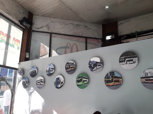
Bus station nearby Teniente General García 249-295
Argentina
Bus station nearby Teniente General García 249-295
Teniente General García 249-295
Piñeiro, Buenos Aires Province, Argentina
contacts phone
:
+54
Latitude:
-34.662803
, Longitude:
-58.380847
larger map & directions
read more
nearest Bus station
194 m
Fernández Edmundo 471-499
Argentina
Bus station
read more
264 m
Fernández Edmundo 218
Argentina
Bus station
read more
273 m
Moisés Lebensohn 502-600
Argentina
Bus station
read more
338 m
José Giribone 904-940
Argentina
Bus station
read more
350 m
Avenida Hipólito Yrigoyen 551-599
Argentina
Bus station
read more
351 m
Moisés Lebensohn 802-900
Argentina
Bus station
read more
417 m
Gobernador Oliden 601-699
Argentina
Bus station
read more
482 m
Avellaneda
Argentina
Bus station
read more
483 m
Avellaneda
Maipú 132, Avellaneda
Bus station
read more
534 m
Avenida Presidente Bernardino Rivadavia 302-314
Argentina
Bus station
read more
563 m
Avenida Hipólito Yrigoyen 904
Argentina
Bus station
read more
599 m
Rivero 701-795
Argentina
Bus station
read more
694 m
Avenida Hipólito Yrigoyen 1102-1188
Argentina
Bus station
read more
730 m
Francisco Pienovi 1101-1191
Argentina
Bus station
read more
782 m
Pedro de Luján 2336-2400
Argentina
Bus station
read more
822 m
Avenida Vélez Sarsfield 1901-1975
Argentina
Bus station
read more
865 m
Avenida Presidente Bernardino Rivadavia 608
Argentina
Bus station
read more
865 m
Ecuador 621-699
Argentina
Bus station
read more
884 m
Ecuador 660
Argentina
Bus station
read more
889 m
Avenida Vélez Sarsfield 1899
Argentina
Bus station
read more
923 m
Avenida Vélez Sarsfield 1802-1860
Argentina
Bus station
read more
1.011 km
Avenida Bartolomé Mitre 107
Argentina
Bus station
read more
1.06 km
Avenida Adolfo Alsina 1058-1080
Argentina
Bus station
read more
1.065 km
Avenida Osvaldo Cruz 2991
Argentina
Bus station
read more
1.25 km
Avenida Galicia 612-692
Argentina
Bus station
read more
📑
all categories
Accounting
Administrative area level 1
Administrative area level 2
Airport
Amusement park
Aquarium
Art gallery
Atm
Bakery
Bank
Bar
Beauty salon
Bicycle store
Book store
Bowling alley
Bus station
Cafe
Campground
Car dealer
Car rental
Car repair
Car wash
Casino
Cemetery
Church
City hall
Clothing store
Colloquial area
Convenience store
Country
Courthouse
Dentist
Department store
Doctor
Electrician
Electronics store
Embassy
Establishment
Finance
Fire station
Florist
Food
Funeral home
Furniture store
Gas station
General contractor
Grocery or supermarket
Gym
Hair care
Hardware store
Health
Hindu Temple
Home goods store
Hospital
Insurance agency
Intersection
Jewelry store
Laundry
Lawyer
Library
Light rail station
Liquor store
Local government office
Locality
Locksmith
Lodging
Meal delivery
Meal takeaway
Mosque
Movie rental
Movie theater
Moving company
Museum
Natural feature
Neighborhood
Night club
Painter
Park
Parking
Pet store
Pharmacy
Physiotherapist
Place of worship
Plumber
Point of interest
Police
Political
Post office
Premise
Real estate agency
Restaurant
Roofing contractor
Route
Rv park, camping
School
Shoe store
Shopping mall
Spa
Stadium
Storage
Store
Subpremise
Subway station
Supermarket
Synagogue
Taxi stand
Train station
Transit station
Travel agency
University
Veterinary care
Zoo
sublocality level 1
sublocality level 3
↑