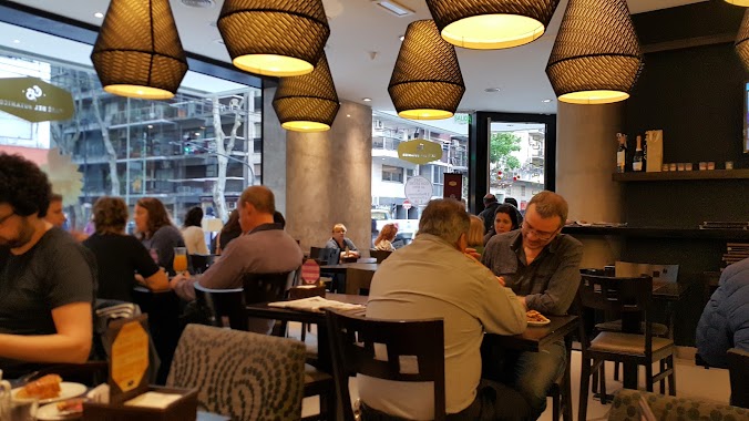
Cafe nearby Corto Maltés
Argentina
Cafe nearby Corto Maltés
Corto Maltés
1195, Mario Bravo, C1175ABU, Comuna 2, Buenos Aires, AR Argentina
contacts phone
:
+54 11 0000-0000
Latitude:
-34.595614
, Longitude:
-58.414919
larger map & directions
read more
nearest Cafe
178 m
Coffe
Soler 3602, C1425BWI
Cafe
read more
261 m
La Tolva
Avenida Córdoba 3499
Cafe
read more
287 m
Cirse La Fábrica
Avenida Córdoba 3400
Cafe
read more
507 m
Coffe Sweet & Deli
C1425BWO, Soler 3945
Cafe
read more
557 m
Café Martínez
Bulnes 1790
Cafe
read more
602 m
Soso
C1190AAP, Lavalle 3462
Cafe
read more
666 m
Café Güemes
Francisco Acuña de Figueroa 1220
Cafe
read more
738 m
Café del Botánico
Bulnes 1905
Cafe
read more
769 m
Nucha
Vidt 2000, Buenos Aires
Cafe
read more
849 m
Pastelería El Progreso
Avenida Santa Fe 2820
Cafe
read more
859 m
PayaBar
Doctor Tomás Manuel de Anchorena 628
Cafe
read more
911 m
Alma Café
Galería Alto Palermo Shopping, Avenida Santa Fe 3255
Cafe
read more
936 m
Starbucks
C.C. Abasto Shopping, Avenida Corrientes 3247, AAE
Cafe
Store
Restaurant
Food
Point of interest
Establishment
read more
937 m
J.A.Roca
Charcas 2669
Cafe
read more
937 m
Havanna
Alto Palermo Shopping Center, Avenida Santa Fe 3253
Cafe
read more
960 m
Starbucks
Arenales 3360
Cafe
read more
966 m
McCafe
Alto Palermo, Av. Santa Fe 3253, a
Cafe
read more
996 m
Emilyn bakery & coffee
Charcas 2599
Cafe
read more
1.067 km
Romini
Tucumán 2802
Cafe
read more
1.069 km
Bonafide
Beruti 2951
Cafe
read more
1.097 km
Faricci Heladeria Av Pueyrredon
Avenida Pueyrredón 802
Cafe
read more
1.15 km
Malabia e Costa Rica
C1414DMK, Malabia 1801-1821
Cafe
read more
1.165 km
Delicity
Juncal 3100
Cafe
read more
1.251 km
Café Bar Philadelphia
Guatemala 4602
Cafe
read more
1.306 km
Bonafide
Avenida Pueyrredón 529
Cafe
read more
📑
all categories
Accounting
Administrative area level 1
Administrative area level 2
Airport
Amusement park
Aquarium
Art gallery
Atm
Bakery
Bank
Bar
Beauty salon
Bicycle store
Book store
Bowling alley
Bus station
Cafe
Campground
Car dealer
Car rental
Car repair
Car wash
Casino
Cemetery
Church
City hall
Clothing store
Colloquial area
Convenience store
Country
Courthouse
Dentist
Department store
Doctor
Electrician
Electronics store
Embassy
Establishment
Finance
Fire station
Florist
Food
Funeral home
Furniture store
Gas station
General contractor
Grocery or supermarket
Gym
Hair care
Hardware store
Health
Hindu Temple
Home goods store
Hospital
Insurance agency
Intersection
Jewelry store
Laundry
Lawyer
Library
Light rail station
Liquor store
Local government office
Locality
Locksmith
Lodging
Meal delivery
Meal takeaway
Mosque
Movie rental
Movie theater
Moving company
Museum
Natural feature
Neighborhood
Night club
Painter
Park
Parking
Pet store
Pharmacy
Physiotherapist
Place of worship
Plumber
Point of interest
Police
Political
Post office
Premise
Real estate agency
Restaurant
Roofing contractor
Route
Rv park, camping
School
Shoe store
Shopping mall
Spa
Stadium
Storage
Store
Subpremise
Subway station
Supermarket
Synagogue
Taxi stand
Train station
Transit station
Travel agency
University
Veterinary care
Zoo
sublocality level 1
sublocality level 3
↑