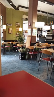
Cafe nearby Havanna
Argentina
Cafe nearby Havanna
Havanna
3663, Cabello, C1425, C1425APM, Comuna 14, AR Argentina
contacts phone
:
+54
website:
www.havanna.com.ar
Latitude:
-34.580509
, Longitude:
-58.4111819
larger map & directions
read more
nearest Cafe
175 m
Coco Café
C1425APP, Cabello 3794, Buenos Aires
Cafe
read more
215 m
Via Vecchia
Avenida General Las Heras 3800
Cafe
read more
356 m
Chungo Ice Cream, Coffee and Delicatessen
Cabello 3300, Esquina Ruggieri, Buenos Aires
Cafe
read more
403 m
Mc Donogh Tabasco
Julián Álvarez 2870
Cafe
read more
488 m
Cafe Axion
Palermo
Cafe
read more
653 m
Il Mercado di Cavia
Cavia 3090, C1425DDD
Cafe
read more
701 m
Los Molinos Confitería
C1425ASG, Avenida General Las Heras 2991
Cafe
read more
708 m
Café HAUS
Avenida Santa Fe 3618
Cafe
read more
720 m
Heladeria Y Cafetería Palermo
Julián Álvarez 2492
Cafe
read more
733 m
Delicity
Juncal 3100
Cafe
read more
790 m
The Coffee Store Charcas
Cafe
read more
843 m
McCafe
Alto Palermo, Av. Santa Fe 3253, a
Cafe
read more
844 m
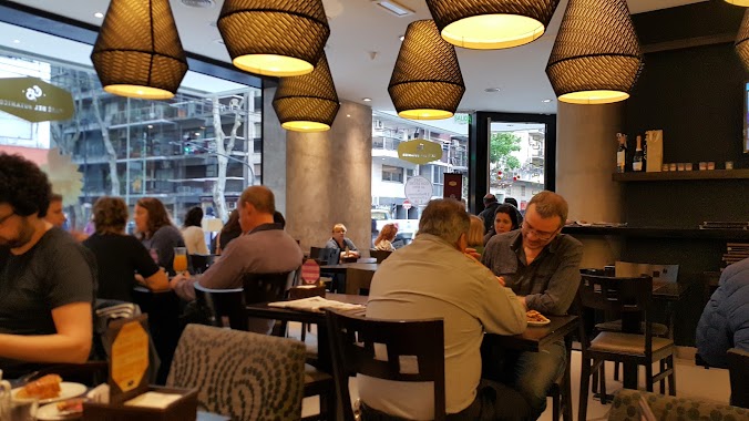
Havanna
Alto Palermo Shopping Center, Avenida Santa Fe 3253
Cafe
read more
850 m
Starbucks
Arenales 3360
Cafe
read more
864 m
Starbucks
Jerónimo Salguero 3172
Cafe
read more
878 m
Alma Café
Galería Alto Palermo Shopping, Avenida Santa Fe 3255
Cafe
read more
932 m
Vía Varese
Güemes 4246
Cafe
read more
940 m
Chips Café
Alcorta Shopping, Jerónimo Salguero 3172
Cafe
read more
946 m
Nucha
Vidt 2000, Buenos Aires
Cafe
read more
952 m
Cafeto Expresso Bar
Güemes 4299
Cafe
read more
963 m
Nucha
Avenida Cerviño 4403
Cafe
read more
983 m
Café del Botánico
Bulnes 1905
Cafe
read more
1.009 km
Un altra VOLTA
Carrefour Salguero, Jerónimo Salguero 3112
Cafe
read more
1.026 km
Whoopies
C1425EZF, Charcas 4006
Cafe
read more
1.145 km
Dia
Juan Francisco Seguí 4501-4579
Cafe
read more
📑
all categories
Accounting
Administrative area level 1
Administrative area level 2
Airport
Amusement park
Aquarium
Art gallery
Atm
Bakery
Bank
Bar
Beauty salon
Bicycle store
Book store
Bowling alley
Bus station
Cafe
Campground
Car dealer
Car rental
Car repair
Car wash
Casino
Cemetery
Church
City hall
Clothing store
Colloquial area
Convenience store
Country
Courthouse
Dentist
Department store
Doctor
Electrician
Electronics store
Embassy
Establishment
Finance
Fire station
Florist
Food
Funeral home
Furniture store
Gas station
General contractor
Grocery or supermarket
Gym
Hair care
Hardware store
Health
Hindu Temple
Home goods store
Hospital
Insurance agency
Intersection
Jewelry store
Laundry
Lawyer
Library
Light rail station
Liquor store
Local government office
Locality
Locksmith
Lodging
Meal delivery
Meal takeaway
Mosque
Movie rental
Movie theater
Moving company
Museum
Natural feature
Neighborhood
Night club
Painter
Park
Parking
Pet store
Pharmacy
Physiotherapist
Place of worship
Plumber
Point of interest
Police
Political
Post office
Premise
Real estate agency
Restaurant
Roofing contractor
Route
Rv park, camping
School
Shoe store
Shopping mall
Spa
Stadium
Storage
Store
Subpremise
Subway station
Supermarket
Synagogue
Taxi stand
Train station
Transit station
Travel agency
University
Veterinary care
Zoo
sublocality level 1
sublocality level 3
↑