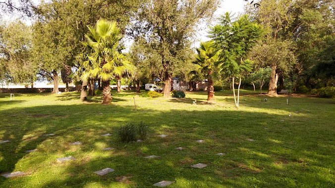
Cemetery nearby CATEDRAL Casa de Sepelios
Argentina
Cemetery nearby CATEDRAL Casa de Sepelios
CATEDRAL Casa de Sepelios
73, Salta, X5022, Córdoba, Capital, AR Argentina
contacts phone
:
+54 351 423-2324
Latitude:
-31.4168527
, Longitude:
-64.1785316
larger map & directions
read more
nearest Cemetery
690 m
Muleto 8
P. Desconocido, Santa Rosa
Cemetery
read more
1.248 km
Parque Azul
Jujuy 283 Barrio Centro Norte, Córdoba
Cemetery
read more
3.782 km
Cementerio San Jerónimo
Córdoba
Cemetery
read more
3.782 km
St. Jerome Cemetery
Córdoba
Cemetery
read more
3.931 km
Confradia de la Merced
Córdoba
Cemetery
read more
4.867 km
Cementerio Sefaradi
Córdoba
Cemetery
read more
4.874 km
Cementerio Israelita
Córdoba
Cemetery
read more
4.951 km
San Vicente Cemetery Park
Calle Soto y Matheu, Córdoba
Cemetery
read more
4.951 km
Cementerio San Vicente
Calle Soto S/n, Córdoba
Cemetery
read more
15.259 km
Cementerio Parque Lomas de Villa Allende
Del Niagara 1001, Villa Allende
Cemetery
read more
18.541 km
Cementerio Santa Inés Villa Allende
Villa Allende
Cemetery
read more
18.555 km
Cementario de Villa Allende
Zenón Bustos, Villa Allende
Cemetery
read more
18.599 km
Cementerio Angel
Avenida Maruzich
Cemetery
read more
19.974 km
Cementerio Parque Catedral
Mendiolaza
Cemetery
read more
20.037 km
Cementerio Solares de la Paz
Mendiolaza
Cemetery
read more
21.57 km
Parque del Amigo
E53 3536,Córdoba, Argentina, -31.235166, -64.258217, Córdoba
Cemetery
read more
21.57 km
Friend Park
E53 3536,Córdoba, Argentina, -31.235166, -64.258217, Córdoba
Cemetery
read more
22.704 km
Cementerio Parroquial
Unquillo
Cemetery
read more
26.875 km
Municipal Cemetery Rio Ceballos
31°12'21. 64°19'01., Ruta Provincial 5 9, Córdoba
Cemetery
read more
46.433 km
Cementerio de Colonia Caroya
Colonia Caroya
Cemetery
read more
47.924 km
Cementerio Jesus Maria
Jesus María
Cemetery
read more
47.937 km
Cementerio Municipal
Uruguay 1547, Córdoba
Cemetery
read more
48.144 km
Cementerio Parque Jesus Maria
Córdoba
Cemetery
read more
📑
all categories
Accounting
Administrative area level 1
Administrative area level 2
Airport
Amusement park
Aquarium
Art gallery
Atm
Bakery
Bank
Bar
Beauty salon
Bicycle store
Book store
Bowling alley
Bus station
Cafe
Campground
Car dealer
Car rental
Car repair
Car wash
Casino
Cemetery
Church
City hall
Clothing store
Colloquial area
Convenience store
Country
Courthouse
Dentist
Department store
Doctor
Electrician
Electronics store
Embassy
Establishment
Finance
Fire station
Florist
Food
Funeral home
Furniture store
Gas station
General contractor
Grocery or supermarket
Gym
Hair care
Hardware store
Health
Hindu Temple
Home goods store
Hospital
Insurance agency
Intersection
Jewelry store
Laundry
Lawyer
Library
Light rail station
Liquor store
Local government office
Locality
Locksmith
Lodging
Meal delivery
Meal takeaway
Mosque
Movie rental
Movie theater
Moving company
Museum
Natural feature
Neighborhood
Night club
Painter
Park
Parking
Pet store
Pharmacy
Physiotherapist
Place of worship
Plumber
Point of interest
Police
Political
Post office
Premise
Real estate agency
Restaurant
Roofing contractor
Route
Rv park, camping
School
Shoe store
Shopping mall
Spa
Stadium
Storage
Store
Subpremise
Subway station
Supermarket
Synagogue
Taxi stand
Train station
Transit station
Travel agency
University
Veterinary care
Zoo
sublocality level 1
sublocality level 3
↑