Gas station nearby Combustible-almacén
Argentina
Gas station nearby Combustible-almacén
Combustible-almacén
Buenos Aires, Argentina
contacts phone
:
+54
Latitude:
-34.40347
, Longitude:
-58.59382
larger map & directions
read more
nearest Gas station
980 m
Astillero
Tigre
Gas station
read more
1.553 km
GNC Agira
Santa María de Las Conchas 2806, Tigre
Gas station
read more
2.016 km
Shell
Santa María de Las Conchas 2210
Gas station
read more
2.081 km
YPF
Lavalle 200, Tigre
Gas station
read more
2.096 km
YPF
Lavalle 200, Gran Buenos Aires
Gas station
read more
2.097 km
Operadora de Estaciones de Servicios
Lavalle 200, Tigre
Gas station
read more
2.764 km
Shell
Avenida Cazón 1392, Gran Buenos Aires
Gas station
read more
2.788 km
Parque Nautico
Los Álamos, Tigre
Gas station
read more
3.187 km
YPF
Avenida Cazon 997, Tigre
Gas station
read more
3.192 km
Aca Tigre
Tigre
Gas station
read more
3.198 km
A.C.A. Oficina Tigre
Avenida Cazón 962, Tigre
Gas station
read more
3.474 km
Ypf
Tigre
Gas station
read more
3.493 km
YPF COMERCIAL DELTA
Río Luján
Gas station
read more
3.642 km
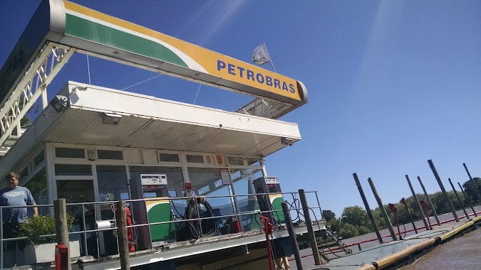
PETROBRAS
Avenida Cazón 585, Tigre
Gas station
read more
4.261 km
Agip Lubricantes Sa
Lamadrid 474, Los Troncos del Talar
Gas station
read more
4.284 km
Petrobras
Avenida Crisólogo Larralde 1795, Gran Buenos Aires
Gas station
read more
4.291 km
YPF
2073, BEC, Avenida Crisólogo Larralde, Los Troncos del Talar
Gas station
read more
4.413 km
Shell
Ex Combatiente Juan Sánchez 25-251, Tigre
Gas station
read more
4.684 km
Petrobras
San Fernando
Gas station
read more
4.771 km
YPF
Ruta Provincial, José A. Terry, San Fernando
Gas station
read more
4.864 km
Taller Radiadores
General Pinto 829, San Fernando
Gas station
read more
5.647 km
Rhasa
Argentina
Gas station
read more
5.773 km
YPF
General Arias 1506, San Fernando
Gas station
read more
6.072 km
YPF Nordelta
Avenida del Lago, Nordelta
Gas station
read more
6.482 km
YPF
Avenida del Libertador 2199, San Fernando
Gas station
read more
📑
all categories
Accounting
Administrative area level 1
Administrative area level 2
Airport
Amusement park
Aquarium
Art gallery
Atm
Bakery
Bank
Bar
Beauty salon
Bicycle store
Book store
Bowling alley
Bus station
Cafe
Campground
Car dealer
Car rental
Car repair
Car wash
Casino
Cemetery
Church
City hall
Clothing store
Colloquial area
Convenience store
Country
Courthouse
Dentist
Department store
Doctor
Electrician
Electronics store
Embassy
Establishment
Finance
Fire station
Florist
Food
Funeral home
Furniture store
Gas station
General contractor
Grocery or supermarket
Gym
Hair care
Hardware store
Health
Hindu Temple
Home goods store
Hospital
Insurance agency
Intersection
Jewelry store
Laundry
Lawyer
Library
Light rail station
Liquor store
Local government office
Locality
Locksmith
Lodging
Meal delivery
Meal takeaway
Mosque
Movie rental
Movie theater
Moving company
Museum
Natural feature
Neighborhood
Night club
Painter
Park
Parking
Pet store
Pharmacy
Physiotherapist
Place of worship
Plumber
Point of interest
Police
Political
Post office
Premise
Real estate agency
Restaurant
Roofing contractor
Route
Rv park, camping
School
Shoe store
Shopping mall
Spa
Stadium
Storage
Store
Subpremise
Subway station
Supermarket
Synagogue
Taxi stand
Train station
Transit station
Travel agency
University
Veterinary care
Zoo
sublocality level 1
sublocality level 3
↑