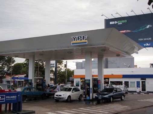
Gas station nearby Estación de Servicio YPF
Argentina
Gas station nearby Estación de Servicio YPF
Estación de Servicio YPF
Quilmes, Buenos Aires, Argentina
contacts phone
:
+54
Latitude:
-34.7276459
, Longitude:
-58.2782546
larger map & directions
read more
nearest Gas station
23 m
YPF
Rodolfo López 1504, Quilmes Oeste
Gas station
read more
23 m
Estacion De Servicio Eraquil
Martín Rodriguez, Rodolfo López &, Quilmes
Gas station
read more
572 m
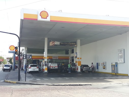
Shell
Avenida la Plata 1134-1198, Quilmes Oeste
Gas station
read more
613 m
Shell + Helix
Avenida Carlos Pellegrini 1705-1899, Quilmes
Gas station
read more
643 m
Kayser
Quilmes
Gas station
read more
653 m
Petrobras
Avenida la Plata, Quilmes Oeste
Gas station
read more
818 m
Gnc Cohiue
Argentina
Gas station
read more
819 m
Estacion De Gnc
Andrés Baranda 767, Quilmes
Gas station
read more
850 m
Shell
Rodolfo López 627-699, Quilmes
Gas station
read more
986 m
GNC
Lamadrid 1865-1899, Bernal
Gas station
read more
986 m
GNC
Avenida Lamadrid 1865-1899, Bernal
Gas station
read more
997 m
YPF
Avenida 12 de Octubre 1901, Quilmes Oeste
Gas station
read more
1.044 km
AXION energy
Avenida LA PLATA Y 12 DEOCTUBRE, Quilmes
Gas station
read more
1.05 km
AXION energy
Av. La Plata Y 12 Deoctubre, Quilmes
Gas station
read more
1.294 km
Gnc Casa Vani-gas
Quilmes Oeste
Gas station
read more
1.495 km
Esso
Presidente Juan Domingo Perón 250, Quilmes
Gas station
read more
1.547 km
Lubricentro the best
Felipe Amoedo 742, Quilmes
Gas station
read more
1.564 km
YPF
Bernal
Gas station
read more
1.638 km
YPF
Avenida Dardo Rocha 299, Bernal
Gas station
read more
1.76 km
YPF
San Martín, Zapiola 26 Y, Bernal
Gas station
read more
1.762 km
YPF
Avenida Calchaquí 851, Quilmes Oeste
Gas station
read more
1.786 km
YPF
Av Calchaquí 851, Quilmes
Gas station
read more
2.005 km
Shell
1615, Avenida Calchaquí, Quilmes Oeste
Gas station
read more
2.354 km
GA
Quilmes Oeste
Gas station
read more
2.354 km
Gas
Avenida Carlos Pellegrini 3664, Quilmes Oeste
Gas station
read more
📑
all categories
Accounting
Administrative area level 1
Administrative area level 2
Airport
Amusement park
Aquarium
Art gallery
Atm
Bakery
Bank
Bar
Beauty salon
Bicycle store
Book store
Bowling alley
Bus station
Cafe
Campground
Car dealer
Car rental
Car repair
Car wash
Casino
Cemetery
Church
City hall
Clothing store
Colloquial area
Convenience store
Country
Courthouse
Dentist
Department store
Doctor
Electrician
Electronics store
Embassy
Establishment
Finance
Fire station
Florist
Food
Funeral home
Furniture store
Gas station
General contractor
Grocery or supermarket
Gym
Hair care
Hardware store
Health
Hindu Temple
Home goods store
Hospital
Insurance agency
Intersection
Jewelry store
Laundry
Lawyer
Library
Light rail station
Liquor store
Local government office
Locality
Locksmith
Lodging
Meal delivery
Meal takeaway
Mosque
Movie rental
Movie theater
Moving company
Museum
Natural feature
Neighborhood
Night club
Painter
Park
Parking
Pet store
Pharmacy
Physiotherapist
Place of worship
Plumber
Point of interest
Police
Political
Post office
Premise
Real estate agency
Restaurant
Roofing contractor
Route
Rv park, camping
School
Shoe store
Shopping mall
Spa
Stadium
Storage
Store
Subpremise
Subway station
Supermarket
Synagogue
Taxi stand
Train station
Transit station
Travel agency
University
Veterinary care
Zoo
sublocality level 1
sublocality level 3
↑