Gas station nearby Gomeria
Argentina
Gas station nearby Gomeria
Gomeria
1401-1499, Avenida Independencia, C1100, Comuna 1, Buenos Aires, AR Argentinien
contacts phone
:
+54
Latitude:
-34.6179389
, Longitude:
-58.3864724
larger map & directions
read more
nearest Gas station
408 m
Gomeria Pipo
Estados Unidos 1200-1100, C1101AAX
Gas station
read more
436 m
Shell
AAQ, Lima 899
Gas station
read more
445 m
Shell Independencia
Lima 835, C1073AAQ
Gas station
read more
495 m
GNC
y, Av. San Juan & San José
Gas station
read more
507 m
Volpini GNC
Avenida San Juan 1537
Gas station
read more
580 m
Oil Boxes
Avenida Belgrano 1222
Gas station
read more
602 m
YPF Solis
Avenida San Juan 1733
Gas station
read more
602 m
YPF
Avenida San Juan 1733
Gas station
read more
608 m
Petrobras
Avenida Entre Ríos 1102
Gas station
read more
624 m
YPF
Constitución
Gas station
read more
649 m
Estación de Servicio sólo GNC
Gas station
read more
653 m
Mexi Gas (Solo GNC)
Bernardo de Irigoyen 592
Gas station
read more
666 m
Service station Mexigas Gnc
Bernardo de Irigoyen 592
Gas station
read more
709 m
YPF
Ruta Nacional 24 Km Y, Avenida Derqui, Moreno
Gas station
read more
719 m
Rapi Gas Sa
Bernardo de Irigoyen 490
Gas station
read more
722 m
G.N.C.
Gas station
read more
896 m
Petrogar Combustibles SRL
Moreno 970
Gas station
read more
966 m
Esso
Chacabuco 790
Gas station
read more
1.091 km
Estacinamiento Alsina 2081
Adolfo Alsina 2001-2099, C1090AAE
Gas station
read more
1.11 km
YPF
Adolfo Alsina 820, Banfield
Gas station
read more
1.139 km
Rhasa
Avenida Hipólito Yrigoyen 2015, San Fernando
Gas station
read more
1.371 km
Ypf
Humberto 1º 2492
Gas station
read more
1.908 km
Pretrolfe Sa
Avenida San Juan 2901
Gas station
read more
1.949 km
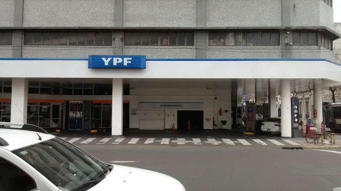
YPF
Avenida Juan de Garay 2780, Buenos Aires
Gas station
read more
2.16 km
Garaje
Avenida Corrientes 436
Gas station
read more
📑
all categories
Accounting
Administrative area level 1
Administrative area level 2
Airport
Amusement park
Aquarium
Art gallery
Atm
Bakery
Bank
Bar
Beauty salon
Bicycle store
Book store
Bowling alley
Bus station
Cafe
Campground
Car dealer
Car rental
Car repair
Car wash
Casino
Cemetery
Church
City hall
Clothing store
Colloquial area
Convenience store
Country
Courthouse
Dentist
Department store
Doctor
Electrician
Electronics store
Embassy
Establishment
Finance
Fire station
Florist
Food
Funeral home
Furniture store
Gas station
General contractor
Grocery or supermarket
Gym
Hair care
Hardware store
Health
Hindu Temple
Home goods store
Hospital
Insurance agency
Intersection
Jewelry store
Laundry
Lawyer
Library
Light rail station
Liquor store
Local government office
Locality
Locksmith
Lodging
Meal delivery
Meal takeaway
Mosque
Movie rental
Movie theater
Moving company
Museum
Natural feature
Neighborhood
Night club
Painter
Park
Parking
Pet store
Pharmacy
Physiotherapist
Place of worship
Plumber
Point of interest
Police
Political
Post office
Premise
Real estate agency
Restaurant
Roofing contractor
Route
Rv park, camping
School
Shoe store
Shopping mall
Spa
Stadium
Storage
Store
Subpremise
Subway station
Supermarket
Synagogue
Taxi stand
Train station
Transit station
Travel agency
University
Veterinary care
Zoo
sublocality level 1
sublocality level 3
↑