Gym nearby La Estación Yoga
Coronavirus disease (COVID-19) Situation
confirmed cases
10128845
deaths
130841
Argentina
Gym nearby La Estación Yoga
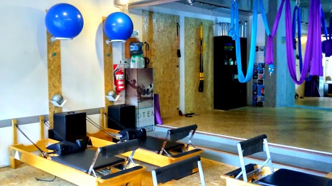
La Estación Yoga
Mario Bravo, 1176, Comuna 2, Buenos Aires, AR Argentina
contacts phone
:
+54 11 3689-7440
website:
fitandrearotondo.wixsite.com
Latitude:
-34.595913
, Longitude:
-58.415096
larger map & directions
read more
nearest Gym
64 m
Gimnasio billinghurst
Mario Bravo 1218
Gym
read more
150 m
ADN Crossfit & Functional
Mario Bravo 1314
Gym
read more
244 m
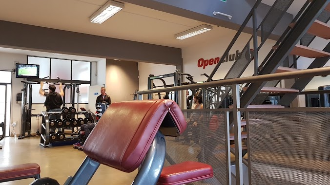
Openclub Palermo
C1425BWJ, Soler 3666, Buenos Aires
Gym
read more
267 m
UNIDOS PROGRAM
Avenida Córdoba 3358
Gym
read more
540 m
Hot Gym
Agüero 1251
Gym
read more
581 m
Kali Método Pilates - Suc. Barrio Norte
Gallo 1486, Buenos Aires
Gym
read more
674 m
Club social defensores de almagro
C1173ABN, Sánchez de Bustamante 714
Gym
read more
723 m
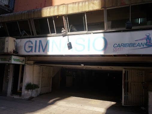
Gimnasio Caribbean
Vidt 1949
Gym
read more
745 m
American Sport Barrio Norte
Charcas 2935
Gym
read more
764 m
Escuela de Baile Plan Arte
Paraguay 2745
Gym
read more
766 m
Megatlon Almagro
3850, Humahuaca
Gym
read more
773 m
Calistenia Workout
Paraguay 2741
Gym
read more
809 m
MIO TEMPO - Piú di Pilates
Julián Álvarez 1717
Gym
read more
816 m
MIO TEMPO Clases de Yoga Ashtanga Yoga Aéreo Pilates Entrenamiento Funcional Esferodinamia
Julián Álvarez 1717
Gym
read more
827 m
Pilates Almagro Chysalis
Humahuaca 3960
Gym
read more
909 m
Amopilates
General Lucio Norberto Mansilla 2667
Gym
read more
943 m
Figurella Almagro
1 depto 3, Avenida Corrientes 3989
Gym
read more
958 m
Yoga Dinámico en
Bulnes 638
Gym
read more
979 m
IATI - Sede Bochin Club
San Mateo 3701-3799, C1425BJA
Gym
read more
983 m
YOGA AND HEALTH
General Lucio Norberto Mansilla 2736
Gym
read more
996 m
QueenFit
Avenida Raúl Scalabrini Ortíz 2091
Gym
read more
1.017 km
Box
Avenida Raúl Scalabrini Ortíz, Buenos Aires
Gym
read more
1.109 km
PaKua International League
Nicaragua 4480
Gym
read more
1.177 km
Curso Fam
Estado de Palestina 10
Gym
read more
1.309 km
Sede Coreto
Soler 4637, C1425BXC
Gym
read more
📑
all categories
Accounting
Administrative area level 1
Administrative area level 2
Airport
Amusement park
Aquarium
Art gallery
Atm
Bakery
Bank
Bar
Beauty salon
Bicycle store
Book store
Bowling alley
Bus station
Cafe
Campground
Car dealer
Car rental
Car repair
Car wash
Casino
Cemetery
Church
City hall
Clothing store
Colloquial area
Convenience store
Country
Courthouse
Dentist
Department store
Doctor
Electrician
Electronics store
Embassy
Establishment
Finance
Fire station
Florist
Food
Funeral home
Furniture store
Gas station
General contractor
Grocery or supermarket
Gym
Hair care
Hardware store
Health
Hindu Temple
Home goods store
Hospital
Insurance agency
Intersection
Jewelry store
Laundry
Lawyer
Library
Light rail station
Liquor store
Local government office
Locality
Locksmith
Lodging
Meal delivery
Meal takeaway
Mosque
Movie rental
Movie theater
Moving company
Museum
Natural feature
Neighborhood
Night club
Painter
Park
Parking
Pet store
Pharmacy
Physiotherapist
Place of worship
Plumber
Point of interest
Police
Political
Post office
Premise
Real estate agency
Restaurant
Roofing contractor
Route
Rv park, camping
School
Shoe store
Shopping mall
Spa
Stadium
Storage
Store
Subpremise
Subway station
Supermarket
Synagogue
Taxi stand
Train station
Transit station
Travel agency
University
Veterinary care
Zoo
sublocality level 1
sublocality level 3
↑