Local government office nearby Consejo Escolar de General Rodríguez
Argentina
Local government office nearby Consejo Escolar de General Rodríguez
Consejo Escolar de General Rodríguez
1052, Sarmiento, B1748, General Rodriguez, General Rodriguez, AR Argentina
contacts phone
:
+54 237 484-1145
website:
consejo-escolar-de-general-rodriguez.negocio.site
Latitude:
-34.6069031
, Longitude:
-58.9482979
larger map & directions
read more
nearest Local government office
177 m
Senasa
B1748AKT, Sarmiento 1180, General Rodriguez
Local government office
read more
414 m
Honorable Concejo Deliberante de General Rodríguez
B1748FWB, Intendente Garrahan 226, General Rodriguez
Local government office
read more
528 m
Registro Automotor 1
Cangallo 298-200, B1748GLF, General Rodriguez
Local government office
read more
538 m
COM Centro de Operaciones y Monitoreo Municipal
9 de Julio, Gran Buenos Aires
Local government office
read more
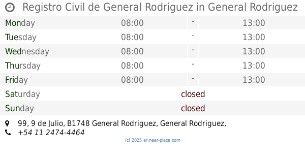
542 m
Registro Civil de General Rodriguez
9 de Julio 99, General Rodriguez
Local government office
read more
811 m
Cientifica Rodriguez
Intendente Pedro Whelan 826-848, General Rodriguez
Local government office
read more
820 m
Anses
Almirante Brown 52, Gran Buenos Aires
Local government office
read more
1.045 km
Senasa general rodriguez
Del Valle 174, General Rodriguez
Local government office
read more
1.348 km
IPS
General Rodriguez
Local government office
read more
13.24 km
Migraciones Retiro
General Martín Miguel de Güemes 1428, B1738HTB
Local government office
read more
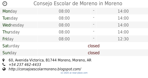
14.573 km
Consejo Escolar de Moreno
B1744BWN, Avenida Victorica 60, Moreno
Local government office
read more
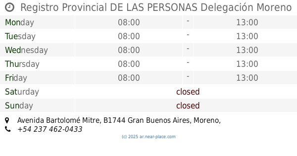
14.741 km
Registro Provincial DE LAS PERSONAS Delegación Moreno
Avenida Bartolomé Mitre, Gran Buenos Aires
Local government office
read more
15.08 km
Programa PREVI
Moreno
Local government office
read more
15.09 km
Salón de Usos Múltiples - Nuevo Moreno Antiguo
B1744AAU, Avenida del Libertador 750, Moreno
Local government office
read more
15.112 km
IDUAR (Instituto de Desarrollo Urbano, Ambiental y Regional)
Avenida del Libertador 751, Moreno
Local government office
read more
15.128 km
Centro de Atención Tributaria Municipal
Martínez Melo 246, Moreno
Local government office
read more
15.157 km
Dirección de Tránsito
Claudio María Joly 2844, Moreno
Local government office
read more
15.191 km
Registro Automotor N 3
Avenida Intendente Pagano 2838, Moreno
Local government office
read more
15.193 km
Registro Automotor N° 3
Avenida Intendente Pagano 2848, Moreno
Local government office
read more
15.213 km
RENAPER EST. TREN MORENO
España 11, Moreno
Local government office
read more
15.342 km
Gestoría Ypoá
Claudio María Joly 608, Gran Buenos Aires
Local government office
read more
15.705 km
Ministry of Social Development
Avenida Alcorta, Gran Buenos Aires
Local government office
read more
15.705 km
Secretaría de Desarrollo Social
Avenida Alcorta, Gran Buenos Aires
Local government office
read more
15.827 km
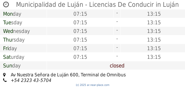
Municipalidad de Luján - Licencias De Conducir
Av Nuestra Señora de Luján 600, Terminal de Omnibus de Luján - Terminal Cero, Piso 1, Luján
Local government office
read more
18.196 km
Terminal 741 Sol Y Verde X Ugarteche
Miguel Ángel Buonarotti 4150, Del Viso
Local government office
read more
📑
all categories
Accounting
Administrative area level 1
Administrative area level 2
Airport
Amusement park
Aquarium
Art gallery
Atm
Bakery
Bank
Bar
Beauty salon
Bicycle store
Book store
Bowling alley
Bus station
Cafe
Campground
Car dealer
Car rental
Car repair
Car wash
Casino
Cemetery
Church
City hall
Clothing store
Colloquial area
Convenience store
Country
Courthouse
Dentist
Department store
Doctor
Electrician
Electronics store
Embassy
Establishment
Finance
Fire station
Florist
Food
Funeral home
Furniture store
Gas station
General contractor
Grocery or supermarket
Gym
Hair care
Hardware store
Health
Hindu Temple
Home goods store
Hospital
Insurance agency
Intersection
Jewelry store
Laundry
Lawyer
Library
Light rail station
Liquor store
Local government office
Locality
Locksmith
Lodging
Meal delivery
Meal takeaway
Mosque
Movie rental
Movie theater
Moving company
Museum
Natural feature
Neighborhood
Night club
Painter
Park
Parking
Pet store
Pharmacy
Physiotherapist
Place of worship
Plumber
Point of interest
Police
Political
Post office
Premise
Real estate agency
Restaurant
Roofing contractor
Route
Rv park, camping
School
Shoe store
Shopping mall
Spa
Stadium
Storage
Store
Subpremise
Subway station
Supermarket
Synagogue
Taxi stand
Train station
Transit station
Travel agency
University
Veterinary care
Zoo
sublocality level 1
sublocality level 3
↑