Local government office nearby OSTEL
Argentina
Local government office nearby OSTEL
OSTEL
2569, Avenida Juan de Garay, C1256, Comuna 3, Buenos Aires, AR Argentina
contacts phone
:
+54
website:
www.ostel.org
Latitude:
-34.6284568
, Longitude:
-58.4008381
larger map & directions
read more
nearest Local government office
176 m
Subte H INCLAN - MEZQUITA AL AHMAD
Avenida Jujuy 1700
Local government office
read more
423 m
Borrar
Valentín Gómez 1497, González Catán
Local government office
read more
518 m
Subte E JUJUY
Avenida San Juan 2700
Local government office
read more
620 m
Social Service Area # 3
Avenida San Juan 2353
Local government office
read more
620 m
Servicio Social Zona No. 3
Avenida San Juan 2353
Local government office
read more
671 m
Subte H HUMBERTO 1°
Avenida Jujuy 1100
Local government office
read more
724 m
Y W C A
Humberto 1º 2360
Local government office
read more
727 m
Subte E PICHINCHA
Avenida San Juan 2200
Local government office
read more
775 m
Defensoria niños,niñas y adolecentes ,Comuna5
Avenida Jujuy 1028
Local government office
read more
824 m
Subte E URQUIZA
Avenida San Juan 3100
Local government office
read more
881 m
Anses
Avenida Jujuy 966
Local government office
read more
932 m
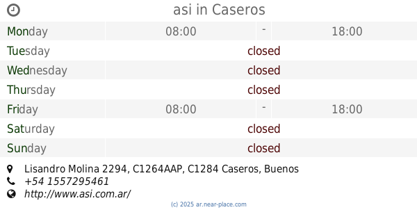
asi
Lisandro Molina 2294, C1264AAP, Caseros
Local government office
read more
933 m
ANSES
La Rioja 2095
Local government office
read more
933 m
ANSES Cerrado
La Rioja 2095
Local government office
read more
946 m
Ministerio de Gestión y de Acción Social
Avenida Entre Ríos 1492
Local government office
read more
946 m
Ministry of Management and Social Action
Avenida Entre Ríos 1492
Local government office
read more
999 m
OSYC Obra Social Yacimientos Carboníferos
24 de Noviembre 1126
Local government office
read more
1.033 km
Centro de jubilados, pensionados y familia Manuel Dorrego
Cochabamba 1783
Local government office
read more
1.058 km
Defensa Civil
Estados Unidos 3275, C1228ABH
Local government office
read more
1.154 km
Gestoría Integral Del Automotor Y Motovehículos Atilio
Galería del Plata, Avenida Entre Ríos 1055
Local government office
read more
1.392 km
Subsecretaria de Obra y Servicios Públicos G.C.B.A Dirección General Hidráulica
Humberto 1º 1584
Local government office
read more
1.437 km
Subte H VENEZUELA
Venezuela 2500
Local government office
read more
2.073 km
Salud Pública
C1275AHJ, Doctor Ramón Carrillo 490
Local government office
read more
2.206 km
Public Defense Minister
San José 331
Local government office
read more
2.441 km
Registro Nacional De La Propiedad Del Motovehiculo Capital A
Adolfo Alsina 1290
Local government office
read more
📑
all categories
Accounting
Administrative area level 1
Administrative area level 2
Airport
Amusement park
Aquarium
Art gallery
Atm
Bakery
Bank
Bar
Beauty salon
Bicycle store
Book store
Bowling alley
Bus station
Cafe
Campground
Car dealer
Car rental
Car repair
Car wash
Casino
Cemetery
Church
City hall
Clothing store
Colloquial area
Convenience store
Country
Courthouse
Dentist
Department store
Doctor
Electrician
Electronics store
Embassy
Establishment
Finance
Fire station
Florist
Food
Funeral home
Furniture store
Gas station
General contractor
Grocery or supermarket
Gym
Hair care
Hardware store
Health
Hindu Temple
Home goods store
Hospital
Insurance agency
Intersection
Jewelry store
Laundry
Lawyer
Library
Light rail station
Liquor store
Local government office
Locality
Locksmith
Lodging
Meal delivery
Meal takeaway
Mosque
Movie rental
Movie theater
Moving company
Museum
Natural feature
Neighborhood
Night club
Painter
Park
Parking
Pet store
Pharmacy
Physiotherapist
Place of worship
Plumber
Point of interest
Police
Political
Post office
Premise
Real estate agency
Restaurant
Roofing contractor
Route
Rv park, camping
School
Shoe store
Shopping mall
Spa
Stadium
Storage
Store
Subpremise
Subway station
Supermarket
Synagogue
Taxi stand
Train station
Transit station
Travel agency
University
Veterinary care
Zoo
sublocality level 1
sublocality level 3
↑